San Francisco – All the beautiful city sights and attractions
San Francisco is one of the most beautiful and attractive cities in the United States for a trip. The city lies at the northern tip of a peninsula, bordered by the San Francisco Bay to the east and the Pacific Ocean to the west. Connecting the bay to the ocean, at what is known as the Golden Gate Strait, stands the city's iconic bridge – the Golden Gate Bridge. Downtown San Francisco is crossed by two main thoroughfares – Market Street from east to west and Van Ness Avenue from north to south. Adjacent to these routes are all the city's vibrant districts and neighborhoods – Downtown, SoMa, Union Square, Chinatown, Mission, Haight-Ashbury, and Pacific Heights. In the western part of the city are two large parks – the Presidio and the magnificent Golden Gate Park.

The division of districts and various travel areas of San Francisco
- Downtown
- Chinatown
- SoMa District and Union Square
- Fisherman's Wharf and North of Downtown
- The Districts West of Van Ness Avenue – Civic Center Plaza, Pacific Heights, Marina District
- The Presidio and Golden Gate Bridge
- Golden Gate Park
- Mission District and Haight-Ashbury
Click here for the comprehensive guide to dreamy San Francisco…
Click here for all information on hotels and accommodation in San Francisco…
Click here for all the information on transportation in San Francisco…
Click here for info on professional sports teams in San Francisco…
Map of San Francisco Neighborhoods
Downtown San Francisco
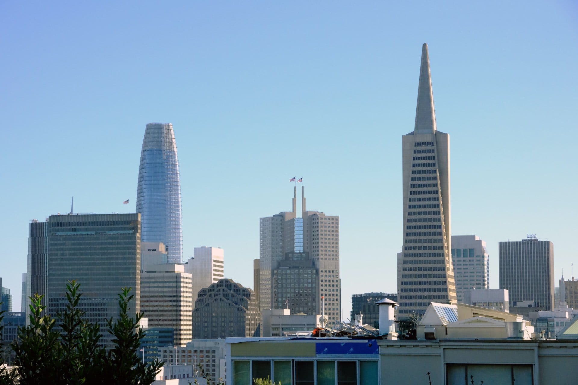
Downtown San Francisco, or the city's Financial District, is a must-visit to truly experience the city's grandeur. Over the bustling streets, you'll find numerous commercial towers, including some of the most famous in the city. The tourist heart of downtown is by the bayfront at the large Ferry Building, now a lively market of food and eateries. Nearby, the Embarcadero Plaza serves as the city's main square. Overseeing downtown, the city's iconic Transamerica Pyramid Tower stands impressively.
Click here for all the details on touring downtown San Francisco…
What is Downtown San Francisco?
- Downtown San Francisco is the city's Financial District
- The district is located along the San Francisco Bay, north of the Bay Bridge, the bridge that connects downtown with Oakland via Yerba Buena and Treasure Island
- Downtown is the elevated part of San Francisco and one of the most visited areas in this beautiful city
- It borders the SoMa district and Rincon Hill to the south, Union Square and Chinatown to the west, and the Embarcadero to the north
Downtown San Francisco is a classic American financial district with an early-century touch. Many of the buildings were constructed during the 1930s as part of the city's development response to the Great Depression, along with other major projects like the Golden Gate Bridge and the Bay Bridge.
Downtown also boasts quite a few skyscrapers from the sixties, the most famous being the iconic Transamerica Pyramid. Nowadays, downtown is a favorite hangout for tourists and locals alike, especially bustling in the morning and afternoon hours. The busiest and most touristy section is the Embarcadero Plaza and the adjacent Ferry Building.
San Francisco's Chinatown
San Francisco's Chinatown is the origin and foundation of all Chinatowns, with no major western city lacking one. The neighborhood was founded on the avenues and streets of Yerba Buena, the American colony of San Francisco during Mexican rule. The neighborhood features historic red brick buildings with fire escapes and metal balconies.
The streets are decorated and filled with Chinese signs, historic temples, bustling streets, and a feel of the Far East. In the neighborhood, you'll find unique shops, decorations, festivals, and plenty of excellent Chinese restaurants that are extremely popular with the city's residents.
Click here for all the information on a trip to San Francisco's Chinatown…

What is San Francisco's Chinatown?
San Francisco's Chinatown is the origin of the famous idiom that spread across major cities throughout the USA and even to major cities in Western Europe. Chinatown is the historical home of Chinese immigrants who arrived on the West Coast of the USA starting in the mid-19th century.
- The first reason for the concentration of Chinese immigrants in San Francisco is the Gold Rush, when a large workforce arrived from across China and Japan and settled in the cities of California
- The district was heavily damaged in the great fire following the 1906 earthquake. This fire was an opportunity for many immigrants who were in the USA at the time and arrived immediately afterward to claim American citizenship by arguing their documents had burned. After the fire, the district's population grew significantly.
- Currently, about 35,000 people live in the neighborhood, most of whom are of Chinese or East Asian descent.
- The neighborhood operates as a typical Chinatown, almost like an autonomous territory, with signs in Chinese, mini markets offering exotic goods, traditional festivals, and, of course, excellent and highly popular Chinese restaurants.
- Bruce Lee was born in the neighborhood, likely the most famous Chinese-American.
San Francisco – SoMa and Union Square
SoMa District in San Francisco is a large and significant urban area that houses a large number of museums. The center of the district is the Moscone Convention Center, alongside the city's major art institution, the San Francisco Museum of Modern Art, or SFMOMA.
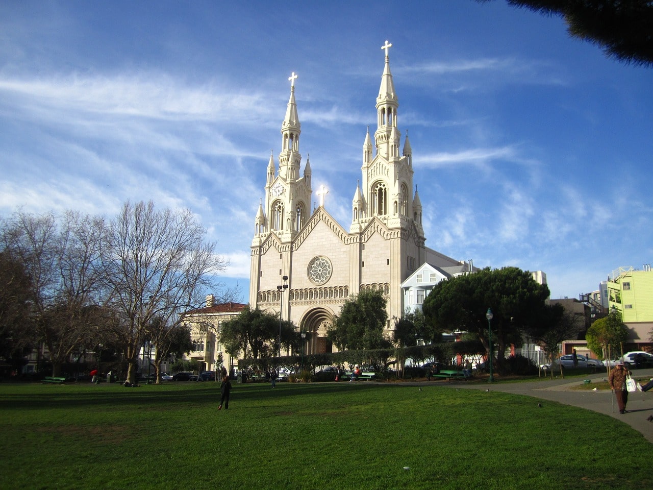
The district combines residential areas with tall skyscrapers that serve as headquarters for various companies. It also contains several historic sites like the beautiful St. Patrick's Church and the San Francisco Mint. The district is packed with malls, shops, restaurants, entertainment venues, and lodgings.

What is the SoMa District in San Francisco?
- The SoMa is one of the main and most popular districts to explore in San Francisco.
- The name of the district means South of Market.
- Market Street is the northernmost of those running diagonally, tending north as you head east. This diagonal intersects with the grid of streets north of the Financial District, Union Square, the Tenderloin, and westward toward the Castro District.
The district is the foundation of the “white” settlement in historic San Francisco, during the period when the city was part of Mexico. In the heart of the district were built the mansions of the residents of Yerba Buena (the good herb), the historical core of the city besides the Franciscan Mission.
SOMA is the cultural district of San Francisco, centered around the grand institution of the SFMOMA. It's an inherently urban district, close to the Financial District, blending high-rise commercial buildings (including headquarters of many tech companies), particularly trendy urban residences, bustling streets filled with restaurants, shops, and entertainment venues.
Fisherman's Wharf and North of Downtown
Fisherman's Wharf is an especially fun walking area in the northern part of San Francisco, with a huge array of attractions and places to hang out. The center of the district, which was formerly a large fishing dock for fishermen of Italian descent, is Pier 39, which has almost turned into a backdrop from Disney parks. Not far away, Ghirardelli Square is a conversion of a chocolate factory into an experience of entertainment, stores, and restaurants.
Opposite the piers lies the historic Alcatraz prison, the notorious prison where the worst criminals in the US, led by Al Capone, were incarcerated. Looking west from the island and the piers, the Golden Gate stands out. Above the piers are the northern city districts, which also house museums, beautiful squares, and interesting sites. One of them is the iconic ascent of Lombard Street, a block built in a slalom to compensate for the steep hill climb.

What are Fisherman's Wharf and the Northern Districts?
Fisherman's Wharf is the most vibrant and colorful district in San Francisco. This district sits at the northern part of the peninsula on San Francisco Bay, north of the Embarcadero piers.
- The neighborhood to the west of the district is the Marina District, built on land and facilities from the Panama-Pacific International Expo held in the city in 1915.
- Fisherman's Wharf lies on the northern slopes of a hilly area between the city's downtown and SoMa district, with Chinatown and Nob Hill on their southern slopes.
- On these slopes, you'll also find the city's iconic street, Lombard Street, designed in a zigzag to compensate for the steep incline.
The neighborhood itself developed with the settlement of many Italian immigrants in the area north of Downtown. The Italians arrived in San Francisco with the city's rapid development following the gold rush.
- With the settlement of Italians in the area, piers were built from which the immigrants' fishing boats operated. With the fish came the excellent restaurants, making the entire area attractive to the city's residents.
- During this period, the area was established as the vibrant entertainment center of San Francisco, and the city decided to develop it as part of the northern expansion from Downtown.
- Significant events were held in the area, the largest of which, of course, was the 1915 Expo.
- Today, the entire area is one big celebration of tourism and attractions, from the stunning view of the Golden Gate Bridge built in the 1930s, through the legendary Alcatraz Island, to the bustling piers.
- In the area, museums, tourist attractions, malls, and everything that completes the place into one big festivity for tourists who want to combine fun, attractions, and iconic sites have been built.
- The tourist centers in the district are Pier 39, which is a highly attractive open shopping mall and Pier 45, known for its museums and significant ships worth visiting.
Districts West of Van Ness Avenue in San Francisco
The residential districts west of Van Ness Avenue are San Francisco at its best. These areas are a blend of affluent residences, famous historic Victorian homes, bustling avenues of upscale shopping, galleries, excellent restaurants, and all the fun of climbing and descending the avenues leading north to the piers and key Marina District sites.
Between the Marina District and Market Street, there are many different neighborhoods that can broadly be included as part of the Pacific Heights area. To the south, bordering the SoMa district, is the Civic Center Plaza, the city’s governmental center, which aside from the magnificent City Hall, is a beloved spot for culture enthusiasts.
What are Civic Center Plaza, Pacific Heights, and the Marina District?
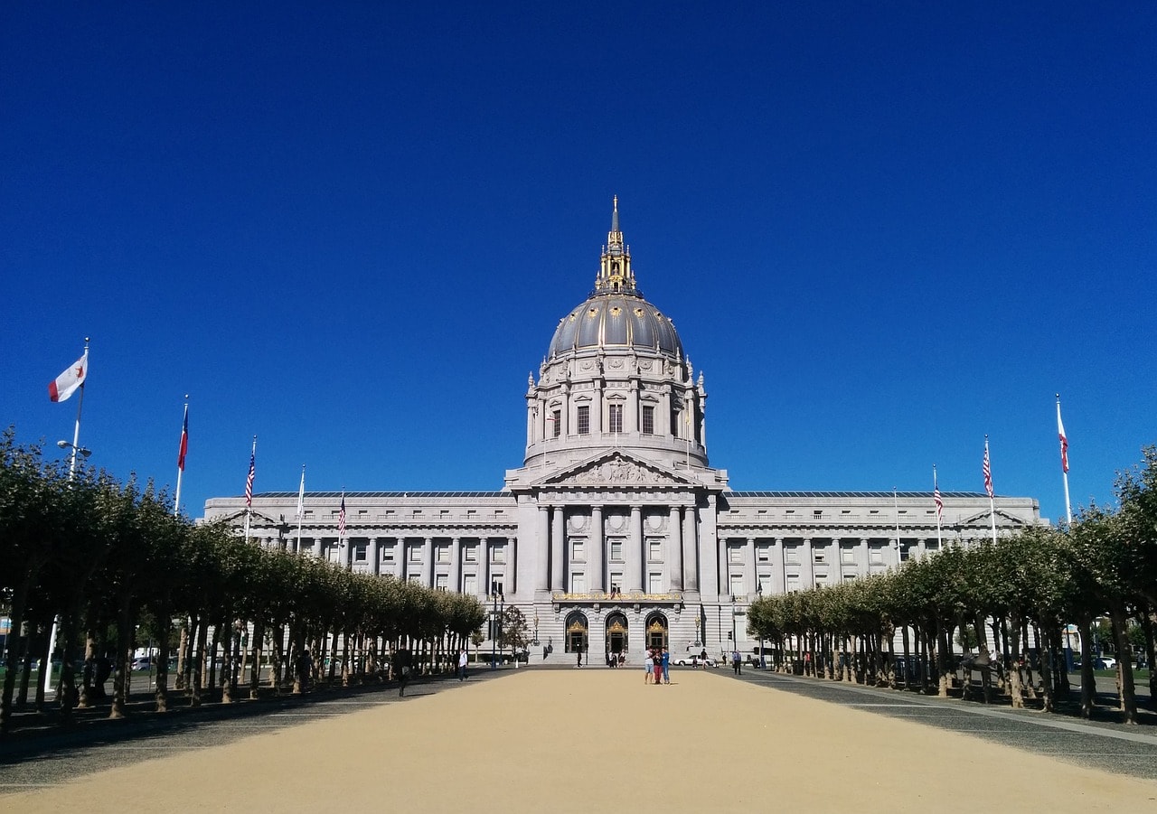
The Civic Center is San Francisco's administrative and cultural hub. The large and elegant plaza is located north of the bustling SoMa district, near the intersection of two major arteries that define central San Francisco from the west – Market Street and Van Ness Avenue.
- At Civic Plaza, you'll find the impressive San Francisco City Hall, surrounded by a host of venues and concert halls.
- This is one of the busiest areas in the evening with elegantly dressed visitors attending ballet, opera, and symphony performances in the city.
- The area is rich with upscale restaurants, entertainment spots, and the grand auditorium named after Bill Graham, hosting big events.
West of the Civic Center Plaza and Van Ness Avenue lie the beautiful residential neighborhoods of classic San Francisco. The Hayes Valley, Japantown, Fillmore District, and Pacific Heights neighborhoods stretch over hills with crisscross avenues and streets, giving a nod to the Fisherman's Wharf to the north.
- At the top of the hills, you're usually greeted by a square green plaza, and in the neighborhoods, you'll find plenty of main streets with luxury boutiques, fantastic restaurants, malls, and popular hangouts loved by the locals.
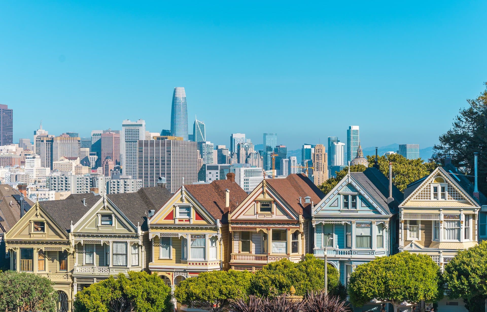
- Across the neighborhoods, you'll discover quite a number of important historic homes, among the most well-known are the Painted Ladies at Alamo Square, the octagon house of McElroy, the Haas-Lilienthal House, Sparkles Mansion, and the house from Full House.
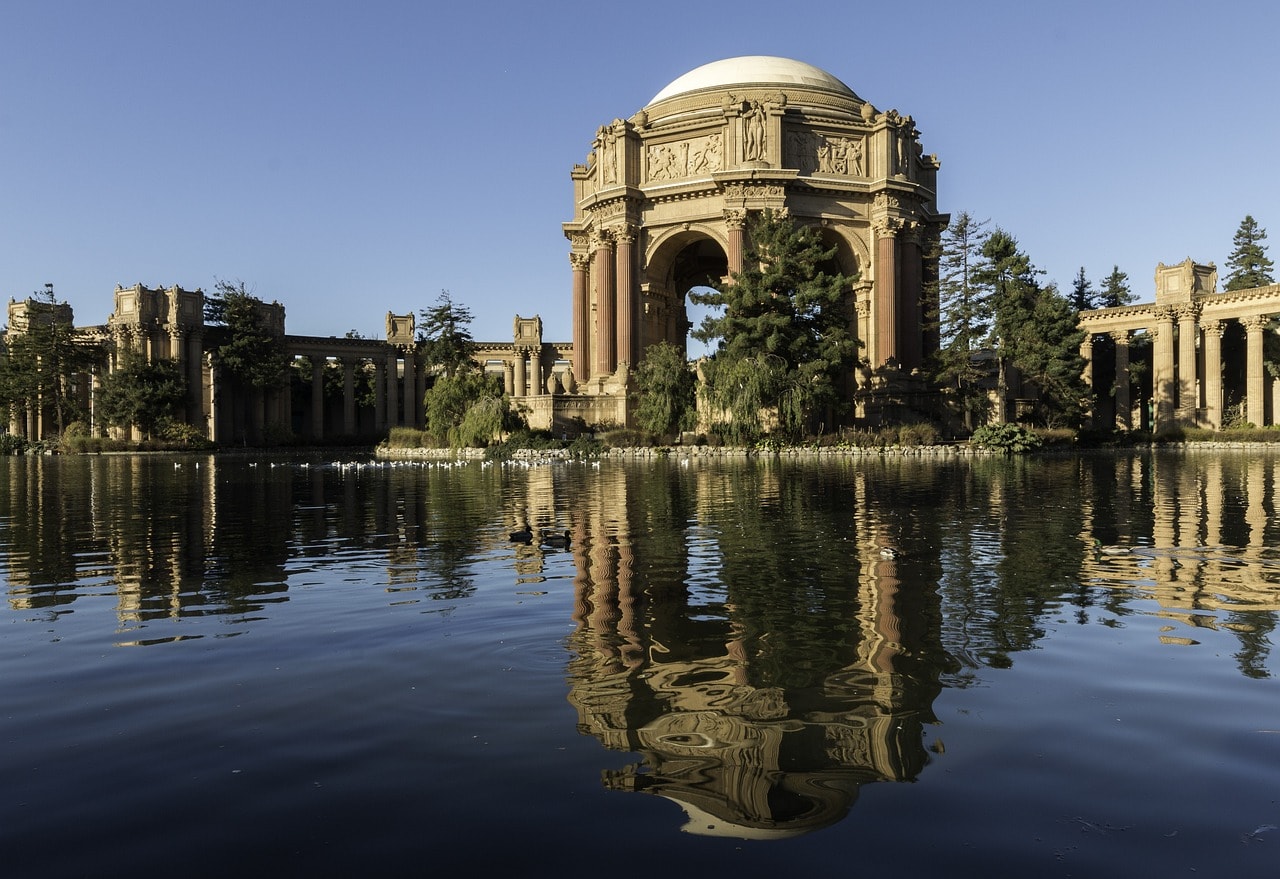
To the north of the Pacific Heights district lies the Marina District, with its waterfront stretching west of Fisherman's Wharf. It's primarily a residential district bordered by significant attractions – Fort Mason to the east and the Palace of Fine Arts at the edge of the Presidio.
The Presidio of San Francisco and the Golden Gate Bridge
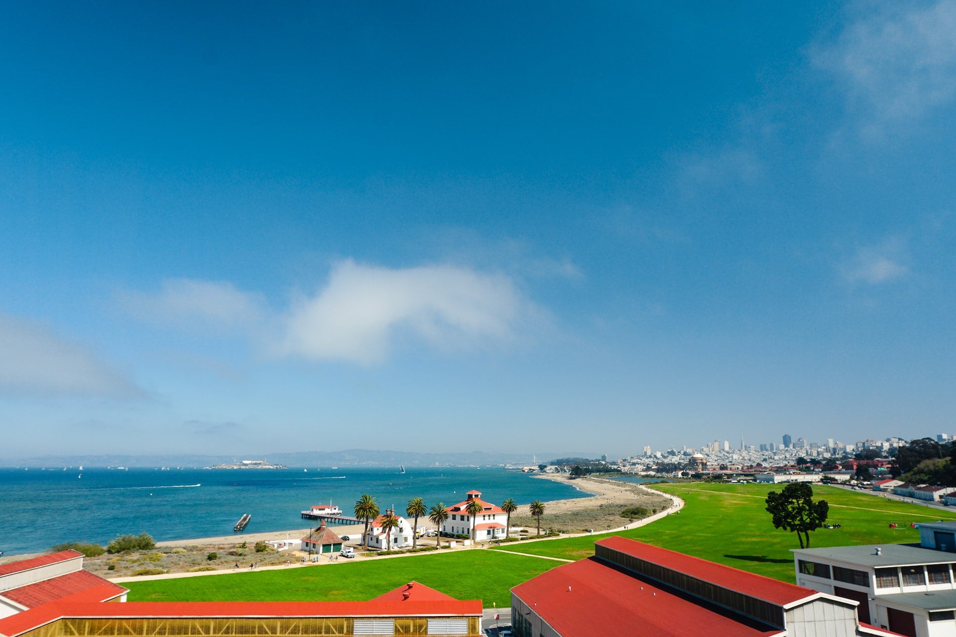
The Presidio of San Francisco is a massive military camp that served as the base for Spanish settlement in the city in the late 18th century. For years, the area was a large American military base until 1994 when it was transferred to the U.S. National Park Service and became a park that blends historical buildings with green spaces.
In 1937, the Golden Gate Bridge was inaugurated at the northern edge of the Presidio, quickly becoming the city's symbol. Today, the park combines attractions, nature, and stunning views of the iconic bridge.
Click here for all the information on the trip and the perfect spots to view the Golden Gate Bridge…

What are the Presidio and the Golden Gate Bridge?
- The Royal Forts of San Francisco, or El Presidio Real de San Francisco, are now collectively known as the Presidio
- This is a green area with a wide variety of attractions in the northern part of the peninsula on which San Francisco sits
- The main attraction in the big park is located at its northern end, known as Fort Point National Historic Site, the small cape above which rises the city's most famous landmark – the Golden Gate Bridge.
- Almost the entire park area today serves as a viewing point for the city's iconic bridge.
- In the Presidio Park, there are hundreds of buildings that were part of the military bases in the area. Some, like Fort Point, were built and preserved since the Spanish era in the late 18th century.
- Today, the entire area of the base has been transferred to the development of the U.S. National Park Service, combining private enterprises in former military buildings with beautiful nature areas offering views of the ocean, the strait, and, of course, the Golden Gate Bridge.
- A wide variety of attractions have been built in the base's buildings, such as the Walt Disney Family Museum and the Letterman Digital Arts Center.
- West of the Presidio lies the wild coastline of San Francisco where the Lands End lookout is located.
- Above the viewpoint, where the city's cemetery once was, lies the Legion of Honor Museum, one of the most splendid art museums on the entire West Coast of the USA.
Golden Gate Park
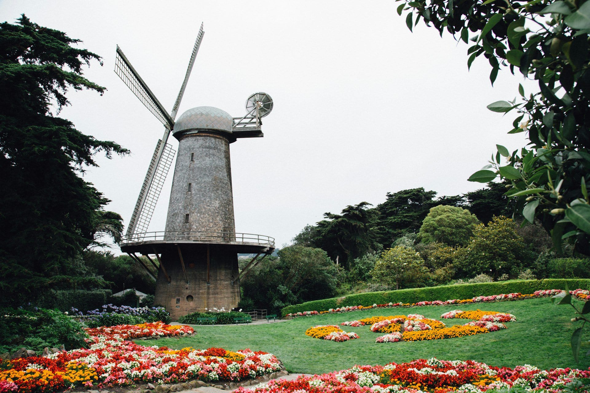
Golden Gate Park San Francisco is the larger and more elegant version of Central Park in New York. This urban-designed park is an important part of the city's green lifestyle and one of its icons. It connects the Pacific Ocean's shoreline deep into the peaceful residential districts, offering a diverse range of attractions, including museums and especially many designed gardens and mini botanical gardens. The park is a beloved hangout for city residents as a green and elegant escape right within the city.
Click here for all the information on touring Golden Gate Park…
What is Golden Gate Park?
- Golden Gate Park is one of the most popular urban parks in the United States
- San Francisco's largest urban park is rectangular and stretches from the Pacific Ocean's coastline in the west to the Haight-Ashbury district in the east
- Between Haight-Ashbury and the University of San Francisco campus lies the Panhandle – a rectangular extension of the park that stretches eastward, one block wide and eight blocks long, just slightly west of Alamo Square in the Fillmore district
- Golden Gate Park was constructed in the 1860s as the city's answer to New York's new and sparkling urban park – Central Park
- The park was planted on unstable sandy land. About 150,000 trees were planted in the park to stabilize the sandy soil and prevent erosion from the wind
- Over the years, many important institutions have opened in the park areas, with the de Young Museum leading the way. The park is adorned with numerous landscaped gardens, making it an especially pleasant and attractive place to explore.
Mission District and Haight-Ashbury
The Haight-Ashbury district is the birthplace of counterculture and the funky, fun world of the hippies. In the late 1960s, it was the epicenter of Western culture. It stretches westward from Golden Gate Park. East of the district, below Buena Vista Park, lies the center of the LGBT community, which is also strongly associated with San Francisco. The colorful Castro Street is the city's most proud street, just a bit west of the Mission District, where the Franciscan mission, the nucleus of settlement in the city, was located.

What are Haight-Ashbury and the Mission District?
- Haight-Ashbury and the Mission are the southwestern residential neighborhoods of San Francisco, nestled between Golden Gate Park and the SoMa district and downtown.
- The Mission is the core of the city along with the Presidio. It is named after the mission established by the Spanish Franciscans in honor of Saint Francis of Assisi.
- Around the mission, the initial core of the city was built, which later expanded eastward.
- The central axis of Central San Francisco, known today as Market Street, connects the Mission with downtown.

West of the Mission is the Castro neighborhood, crossed by Castro Street. The neighborhood and the street are the heart of the LGBTQ+ community that is so closely associated with the city.
- Haight-Ashbury is the neighborhood where the hippie movement of the 1960s in the USA flourished.
- Today, the residential area trapped between Golden Gate Park to the west, Twin Peaks to the south, and the central city districts to the west, blends an atmosphere that's sometimes gray and calm, and at other times particularly lively.
- This area is quirky in many different ways, geographically including hills, ups and downs, and of course streets of staircases, along with some slightly unpleasant areas.
The area is very liberal, straddling the line between absolute freedom and neglect. The neighborhoods haven't yet undergone a full gentrification process (though it's probably coming), and they still hold sparks of the charm that existed in the 1960s.