Discovering Rocky Mountain National Park
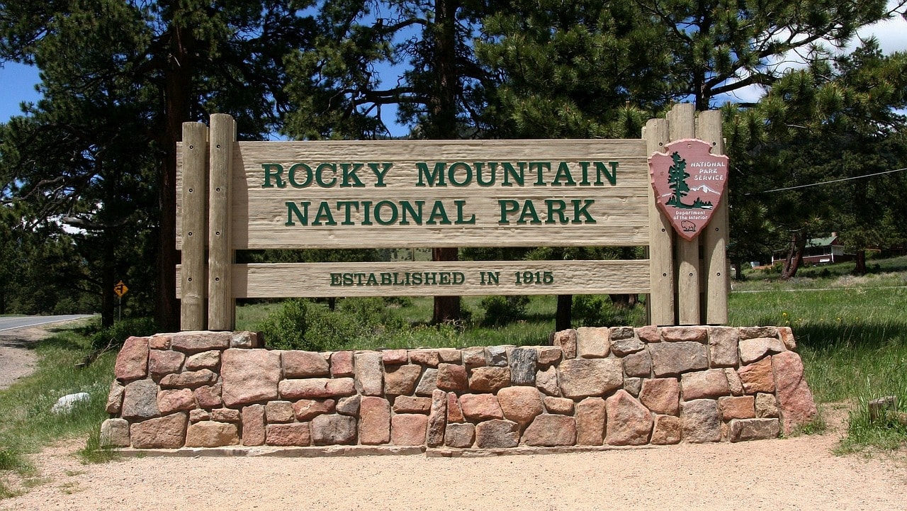
Rocky Mountain National Park is one of the most visited parks in the world. Not far from the big city of Denver, the capital of Colorado, lies the rugged natural area of the Front Range, one of the ranges that make up the Rocky Mountains, with peaks soaring above 4,000 meters. This high region was conquered in the early 20th century with the opening of Highway 34 or the Ridge Trail Road, which crosses the range towards the Colorado River channel.
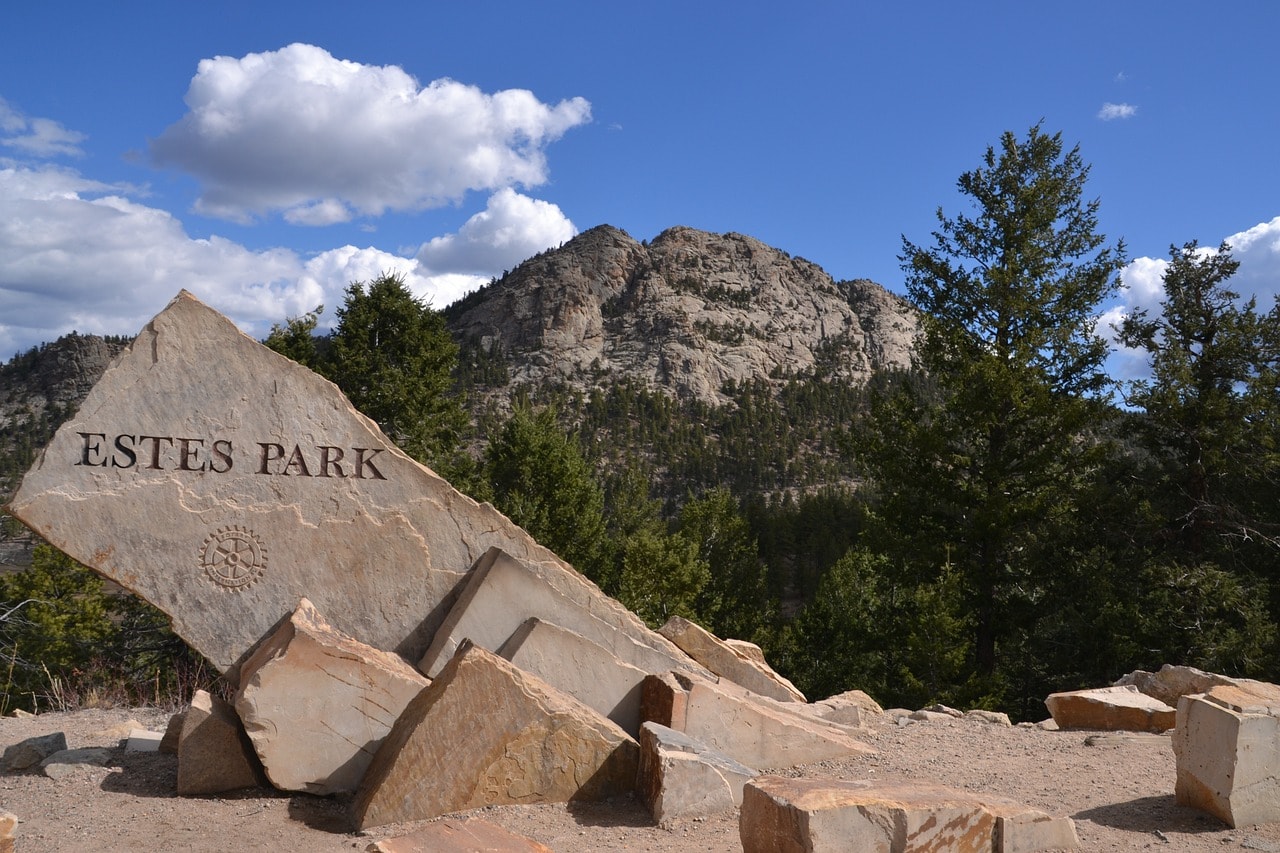
Estes Park is the base for exploring the park; this small town at an elevation of 2,300 meters transforms into a bustling city in the summer, filled with hotels, restaurants, and entertainment spots. Nearby, you can find stunning natural sites, enchanting alpine lakes, hiking trails of various levels, and all the joys of the American great outdoors.

How to explore the Rocky Mountain National Park?
A trip to the Rocky Mountain National Park is one of the most organized and convenient among the national parks along this vast range. Estes Park is a large and vibrant town where you can buy food, find a place to stay, and even enjoy some evening entertainment. The town is located close to the park's main attractions, making the rugged natural landscape accessible by car or on foot.
In our opinion, it's highly recommended to find accommodation in Estes Park as a base for your trip to the national park.
Click here for a list of 8 excellent rural hotels and motels in Estes Park…
- For those who want to go hiking, there's a wide range of trails, from climbing Longs Peak, which is for professionals only, to scenic loop trails around lovely lakes accessible by car.
- The most beautiful section of the park is accessible by car, and it's the Ridge Trail Road, which crosses the Continental Divide and descends toward the Colorado River on the western slopes.
How many days do you need for a trip to Rocky Mountain National Park?
For a trip to Rocky Mountain National Park, it's worth dedicating anywhere from a day to several days. If you're doing a park itinerary along the Rockies, including Yellowstone, Grand Teton, and continuing south to the Colorado River parks in Utah and Arizona, you can stop at the park for a day or at most two. For those coming to the park for a cool summer vacation from Denver, it's recommended to take a few days to explore and immerse yourself in the vast wild nature.
For all the info on car rental in Colorado + useful tips and significant discounts, click here…
10 Must-See and Do Things in Rocky Mountain National Park
- Almost urban fun at Estes Park
- Cross the Rockies on Trail Ridge Road
- Stroll with the kids at Bear Lake
- Enjoy a fun and relatively relaxed hike on the Emerald Lake Trail
- Delve into the geology and nature of the park at Moraine Park Discovery Center
- Intermediate-level hike to Cub Lake Trail
- Drive slowly through the alpine nature on Old Fall River Road (dirt path)
- Mountain climbing for pros only up Longs Peak
- Enjoy with the little kids at Lily Lake
- Cross the Colorado River and visit the Holzwarth Historic Site
For a guided day trip from Denver to Rocky Mountain National Park, click here…
What is Rocky Mountain National Park?
Rocky Mountain National Park is a stunning segment of the massive Front Range, a sub-range of this giant. The western slopes of the range in the park are the source of the mighty Colorado River. It is the first among a series of legendary national parks along the Colorado River that flows southeast through the parks of southeastern Utah – Arches, Canyonlands, and Glen Canyon, continuing to northern Arizona to the mighty Grand Canyon. The river flows into the Gulf of California in Mexico.
- The peaks were declared a national park in 1915
- The logistical center of the park is the town of Estes Park, with a permanent population of 6,000 people
- During the summer, the town's residents are joined daily by tens of thousands of visitors who come to the park
- Around the town and nearby, there are plenty of lodges and mountain hotels for accommodation
- Estes Park is located on the eastern part of the park, toward Denver, the capital and central city of Colorado, by the shore of the small alpine Lake Estes.
- Estes Park is connected by the mountainous Trail Ridge Road (Highway 34) to the park's western entrance gate and the small town of Granby. Granby is home to about two thousand permanent residents.
- Granby is situated in a valley on the western slopes of the Front Range, near the large Lake Granby.
- About a twenty-minute drive from Granby is the logistical center at Grand Lake, on the lake's shore, which is also part of the upper Colorado drainage system.
Rocky Mountain National Park is considered one of the five most popular parks in the United States, attracting nearly five million visitors a year. It stretches at an elevation of 2,400 meters above sea level, with its peak being Longs Peak, soaring at 4,350 meters.
- The park is located 45 kilometers northwest of the large city of Denver, which is situated right on the uplift of the ridge above the Great Plains.
- Denver's elevation is about 1,600 meters above sea level and it is an hour and a half drive from Estes Park.
- The official entrance to the park is the Beaver Meadows Visitor Center located in Estes Park.
Map of Rocky Mountain National Park in Colorado
How to Get to Rocky Mountain National Park?
How to Fly to Rocky Mountain National Park in Colorado?
Denver International Airport (DEN) – Denver's international airport is located on a plain east of the city center, about a half-hour drive away. The airport opened in 1995 and is now the largest airport in the United States by area (third in the world) and among the ten busiest airports globally. It's a major airport right in the heart of the United States and serves as a hub for major American airlines like United Airlines, Southwest Airlines, and Frontier Airlines.
Click here to search for flights to Denver at attractive prices…
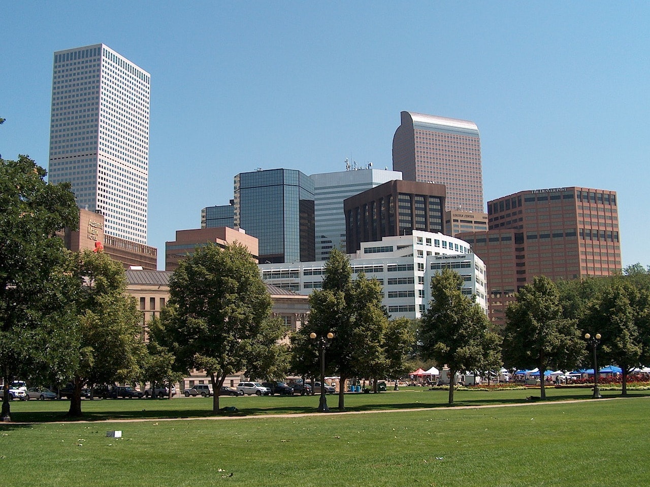
The port is connected with all major and medium ports across the United States and Canada, as well as major airports in Europe and the Far East. You can easily reach Denver with a transfer in Europe through Frankfurt, London, and other European destinations. The airport is an hour and twenty minutes' drive from Estes Park, the gateway to the national park.
Click here to check availability and prices at Denver hotels…
How to get to Rocky Mountain National Park by car?
- Trail Ridge Road (Highway 34) is the main route of Rocky Mountain National Park.
- The road crosses the Continental Divide at what is called the Medicine Bow Curve, connecting Lake Granby and Grand Lake on the western slopes with Estes Park on the eastern slopes.
- A large portion of attractions and hiking trails begin and end along the route.
Click here for all the information on renting a car in the USA and significant discounts…
Estes Park is the gateway to the park and an important transportation hub in the Rocky Mountains.
- Highway 36 connects the town with the city of Boulder, just above Denver
- Highway 34 heads down towards the Great Plains and connects with Interstate 25
- If you're heading to the park from the large parks up north, like Yellowstone and Grand Teton, it's worth traveling on the charming Highway 125 from I-80 in southern Wyoming through the beautiful town of Walden. From Walden, the road continues to Granby
Click here for the complete guide app for driving in the US national parks (audio guide)…
When to visit Rocky Mountain National Park?
The Rocky Mountain National Park is a rugged mountainous area standing at an elevation of over 2000 meters. Due to the altitude and snow deposits, the park is completely inaccessible during the winter months and even in the transitional months, as the paths remain frozen and snowy.
- The best month to visit the Rocky Mountain Park is June. This month combines all the advantages of the park including good weather (though it can still be cold), late sunset allowing for more hiking each day, colorful spring blooms, wildlife venturing into the pasture fields, massive river and stream flow, and still without the traffic and crowd pressure of the masses arriving in July and August
- June is relatively rainy but less so than May and the summer months
- The summer months in Yellowstone are great weather-wise but you need to be prepared for some crowd and traffic jams. July and August are the peak tourist season and are packed with visitors and hikers
- The park is relatively large and spacious, so the crowd mainly affects movement on the Ridge Trail Road.
- The summer months are also relatively rainy, especially in mid-July.
Click here for a travel itinerary plan in the Rocky Mountain National Park and professional advice…
From mid-September to mid-April, temperatures drop below zero, and the area is covered with a thick layer of snow. You can reach Estes Park and Grand Lake in the winter, but Highway 34 is closed from November to May. This is challenging driving, recommended only for those who know how to drive in cold and snowy conditions and with suitable vehicles.
There are hikers who explore the park even in winter, it's extreme conditions and a trend mainly appealing to alpinists.
Everything You Need to Know About Staying Around Rocky Mountain National Park
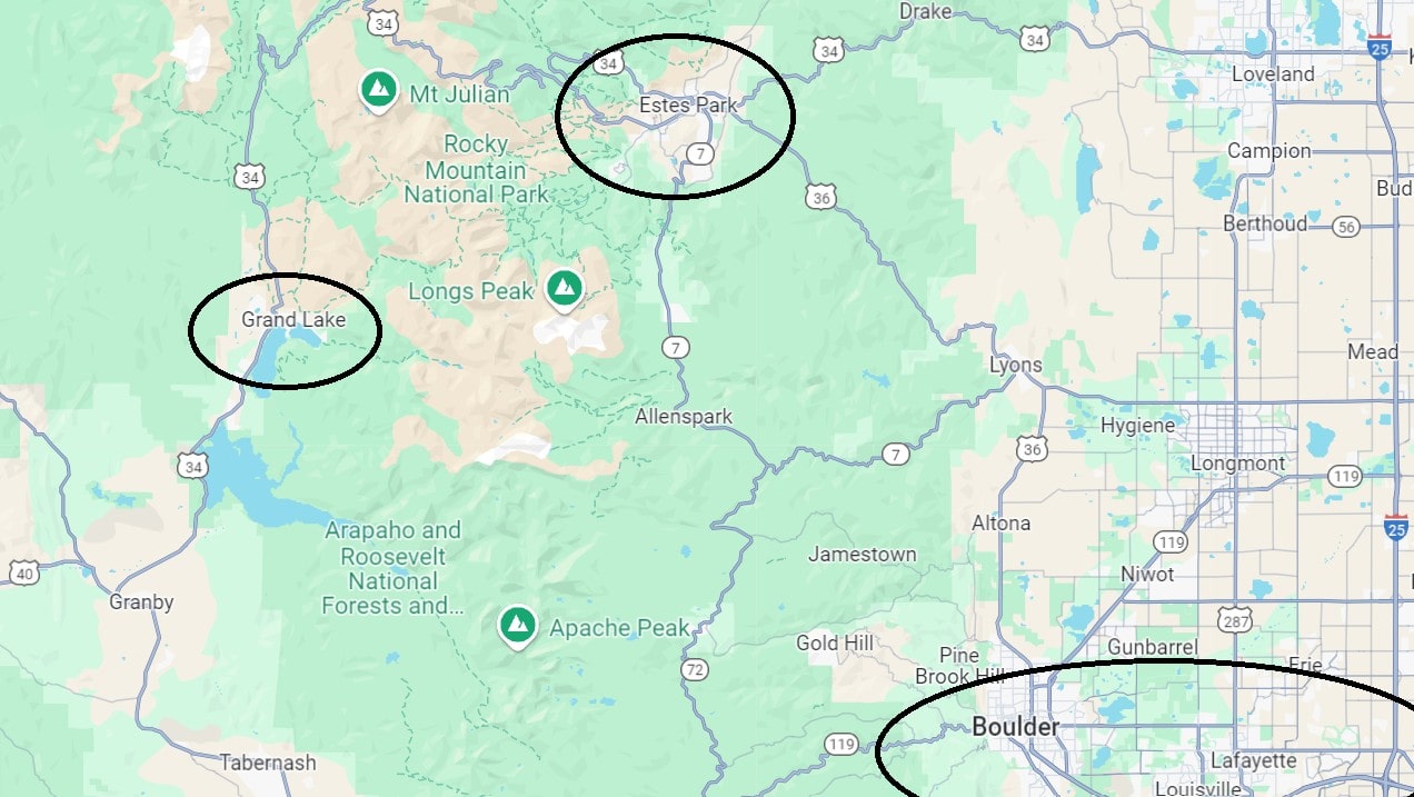
Accommodation at Rocky Mountain National Park is divided into three:
- Staying in Estes Park is ideal for those exploring the park for several days or stopping by during a Rocky Mountain route.
- Accommodations in Grand Lake on the western slopes of the range
- Hotels in the big city of Denver, suitable for those planning a day trip to the park
Click here for a list of 8 excellent rural hotels and motels in Estes Park…
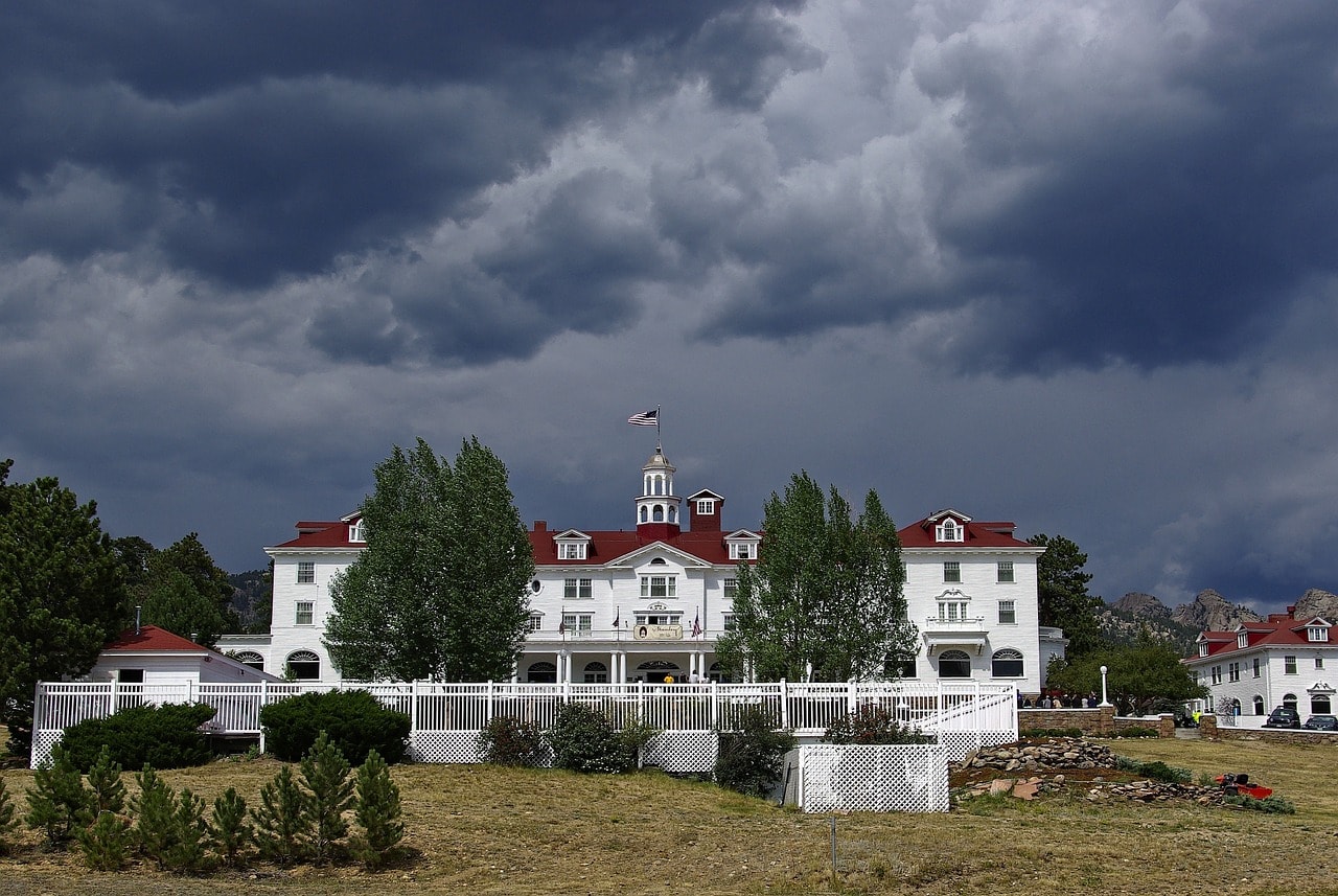
Estes Park is an excellent logistics base for a trip to the national park, likely the largest town found within any of the parks in the Rocky Mountains range. The town boasts numerous hotels of various types, mainly three kinds of accommodations:
- Alpine lodges for those who love the atmosphere
- Motels from all major chains at a one or two-star level.
- Large resorts with excellent service that offer a completely different lodging and vacation experience.
Click here to find accommodations in Estes Park's hotels and lodges…
Grand Lake is the secondary hub of the park, situated on the western slopes of the mountain range. In Grand Lake, you’ll also find lodge hotels and motels, and it's a place where you can stock up and dine. It's less popular than Estes Park but much loved by Americans who come for a long mountain vacation.
Click here to search for accommodations in Denver, the capital of Colorado…
Map of where to stay in Rocky Mountain National Park
How to plan a trip in Rocky Mountain National Park?
Planning your itinerary in the Rocky Mountain National Park is quite straightforward. Most trips revolve around departing and returning to Estes Park, with many must-see sites located just near the town. The town serves as the travel base, a place to stock up, eat, hang out, and stay. It's a very tourist-friendly town with all the perks of American capitalism, even up on the remote ridge.
Click here for a day trip from Denver to the Rocky Mountain Park, including a picnic lunch…
- In the park, you must drive up Trail Ridge Road. It’s the most spectacular scenic road in the park, providing access to the ridge over 3,500 meters high. Along the road, there are stops for breathtaking views of the Front Range
- For those who are interested, you can also head down the western slopes towards the Colorado River channel and visit Lake Grand and Lake Granby. The western slopes are less developed than the eastern ones, but technically they are part of the park. A must-see site on the western slopes is the Holzwarth family ranch near the Colorado River.
- Most of the sites and hiking trails are located south and west of Estes Park. Route 7 leads to the trail climbing Longs Peak (a trail for experienced mountain climbers) and to Lily Lake, the cutest spot in the park for a walk with little kids.
- Another important road is Bear Lake Road. This road climbs to Bear Lake, one of the most beautiful lakes in the park. The lake is accessible from the park and you can take an easy walk with young children to this high lake.
- From the parking lot east of Bear Lake, trails lead to the other lakes of the eastern slopes of the range, like Emerald Lake, Nymph Lake, and Dream Lake. These are high alpine lakes formed by glacial melt.
- Another convenient base for your trip is Moraine Park, just a bit west of Estes Park. The museum at Moraine Park is one of the most fascinating in the park and it's also the starting point for the lovely Cub Lake trail.
Everything to See and Do in Rocky Mountain National Park
Estes Park
Estes Park is the largest town in the breathtaking mountain region of Rocky Mountain Park. It's a sleepy mountain town during the winter and a bustling city in the summer when throngs of tourists flood the park. The town serves as the logistical hub and gateway to Trail Ridge Road. The main street, Elkhorn Avenue, hosts a substantial number of the active businesses that support tourism to the park.
The town boasts shops, restaurants, bars, and especially a multitude of accommodations at different levels. It's also a developed vacation area, featuring beautiful walking paths like the Lake Estes Trail, plenty of outdoor activities such as horseback riding and hiking, lakeside activities like canoeing, and spots to enjoy in the evening (but not too many).
Click here to check availability and prices for hotels in Estes Park…
The official entry to the park is the Beaver Meadows Visitor Center on Highway 36, west of town. The park's official visitor center is open all year, even in winter, and it's the authority on where you can go and what's open or closed for hiking throughout the year. It's definitely worth visiting if you're planning to do some hiking in the park and not just cross it on the Trail Ridge Road.
Trail Ridge Road
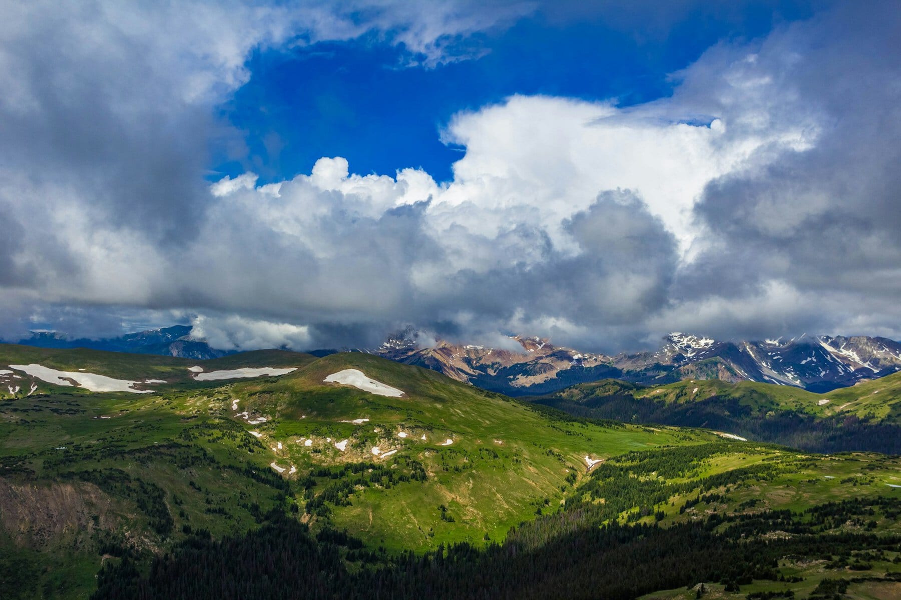
The 77-kilometer road from Estes Park in the east to Grand Lake on the western slopes is one of the most famous and beautiful scenic roads in the USA. It was carved out in the early 1930s and made the wild and enchanting nature of the Rockies accessible to the general public.
The road reaches a peak height of 3600 meters above sea level, a height where the lack of oxygen can already affect the overall feeling. The hiking trails that branch off from the path are at extreme altitudes, so it's highly recommended not to exert yourself during the walk and to take everything slowly. The road crosses right over the ridge, climbing over 1000 meters above Estes Park, which means the temperatures are significantly colder than in the valleys below. It typically opens in mid-May and closes in mid-November.
The mountain road is very winding with sections that have extreme turns. It's important to drive slowly and carefully (and hope there aren't too many traffic jams in the summer). Along the road, there are stops at parking lots near breathtaking viewpoints, picnic areas, and of course, trailheads – the starting points of the park's various hiking trails. The most popular picnic area is Hidden Valley, which also features a short hiking trail in the coniferous forest that is accessible, well-maintained, and suitable for families with children.
The popular viewpoints along the road include Forest Canyon Overlook, Lava Cliffs Overlook, Gore Range Overlook, and Rainbow Curve Overlook. The logistic center of the road is the Alpine Visitor Center, which is the starting point of the Alpine Ridge Trail, one of the most popular mountain trails in the park for peak hiking.
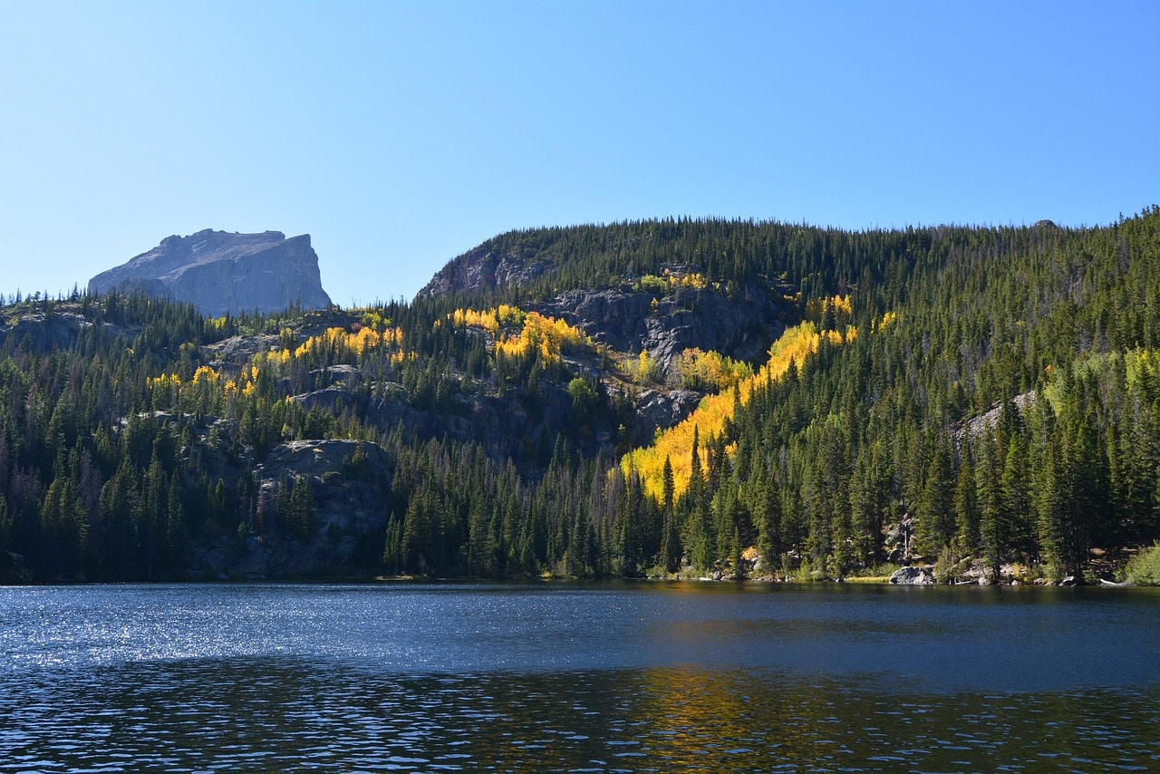
Bear Lake
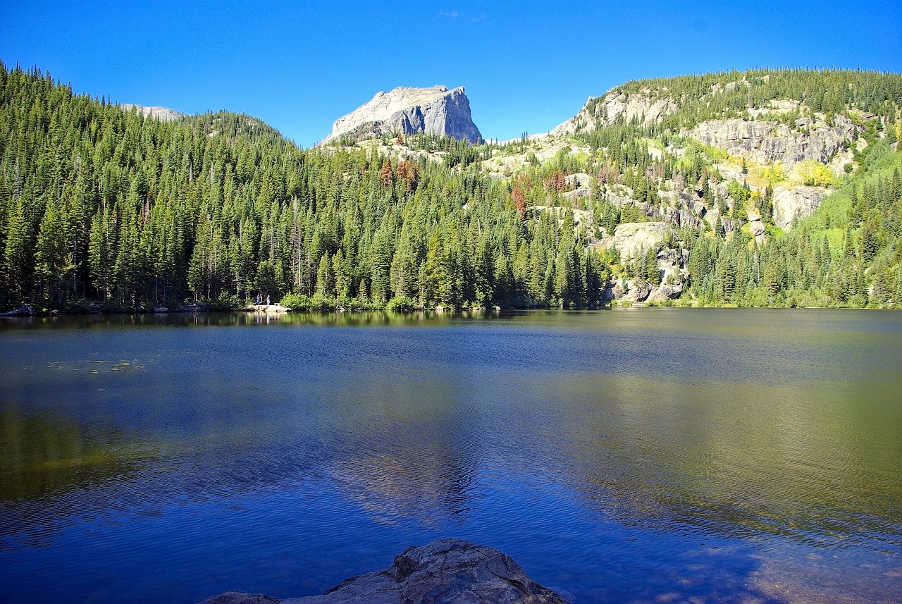
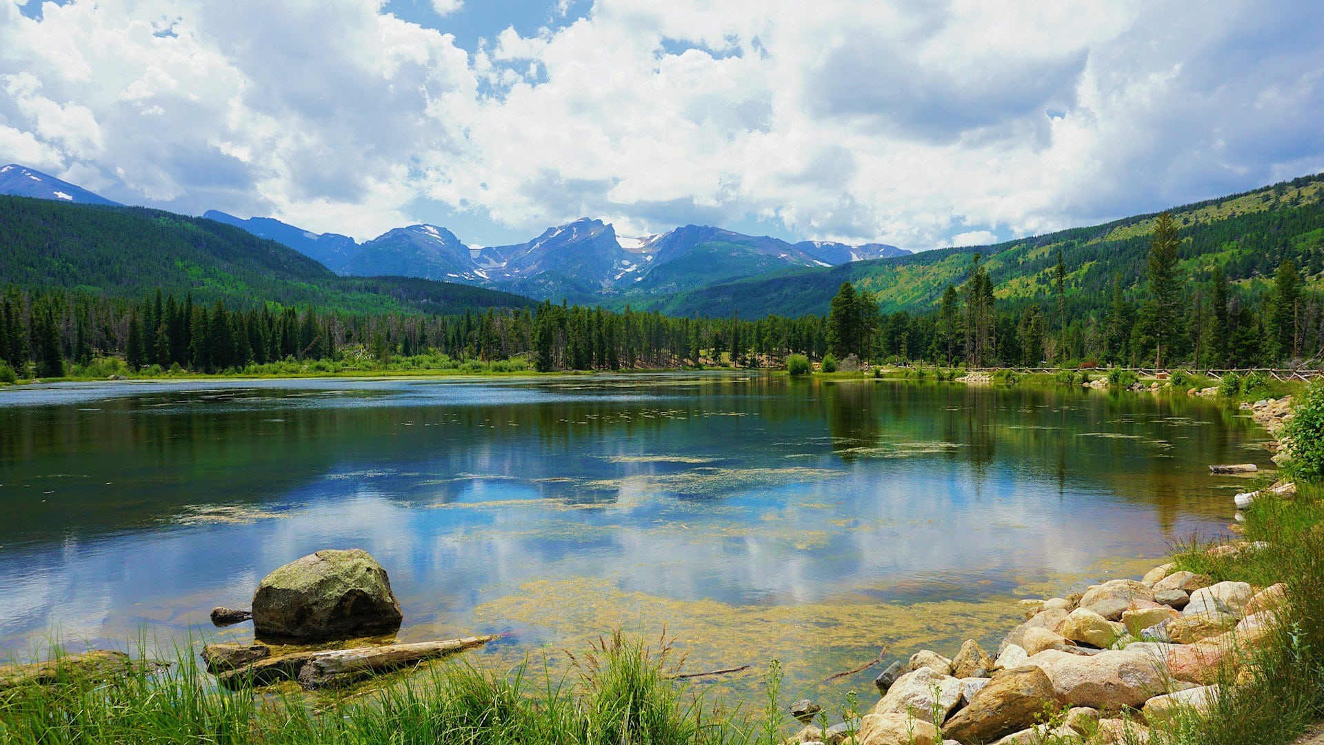
Bear Lake is one of the most popular spots for a trip in the Rocky Mountain National Park in Colorado. It is a small, high alpine lake on the eastern slopes of the Front Range, with the advantage of accessibility and developed surroundings. The road to the lake was built with the establishment of the park, known as the Bear Lake Road. From this road, many hiking trails branch out into the eastern slopes of the range, such as the Glacier Gorge Trail, the Bierstadt Lake Trail, and the easy and pleasant family-friendly walk around Sprague Lake.
Bear Lake itself is a leading destination for a trip in the park. It's a wooded lake with a convenient circular trail, perfect for families with children, known as the Bear Lake Trail. The lake offers stunning scenic views of the range. Right next to the lake, there's a large parking lot at the end of the road, which can fill up during the summer. It also serves as the starting point for the popular Emerald Lake Trail.
Emerald Lake Trail
Although Bear Lake is a family-friendly spot, it's also the gateway to more challenging hiking on one of the most popular and beautiful trails in the park. For those with extra energy, consider climbing from Bear Lake towards the ridge on the Emerald Lake Trail. This trail reaches a high alpine lake that's already beyond the tree line (the summit line above which trees no longer grow) at an impressive height of over three kilometers.
Emerald Lake is a truly breathtaking spot in the shadow of peaks and cliffs. The trail is about three kilometers long in each direction and includes a series of small alpine lakes along Tyndall Creek, such as Nymph Lake and Dream Lake.
This is one of the most stunning and beautiful trails in Rocky Mountain Park. It's not overly difficult, which makes it extremely popular, especially due to the peak views and the option to climb so high. During the summer, it can also be crowded, much like the perimeter trail of Bear Lake.
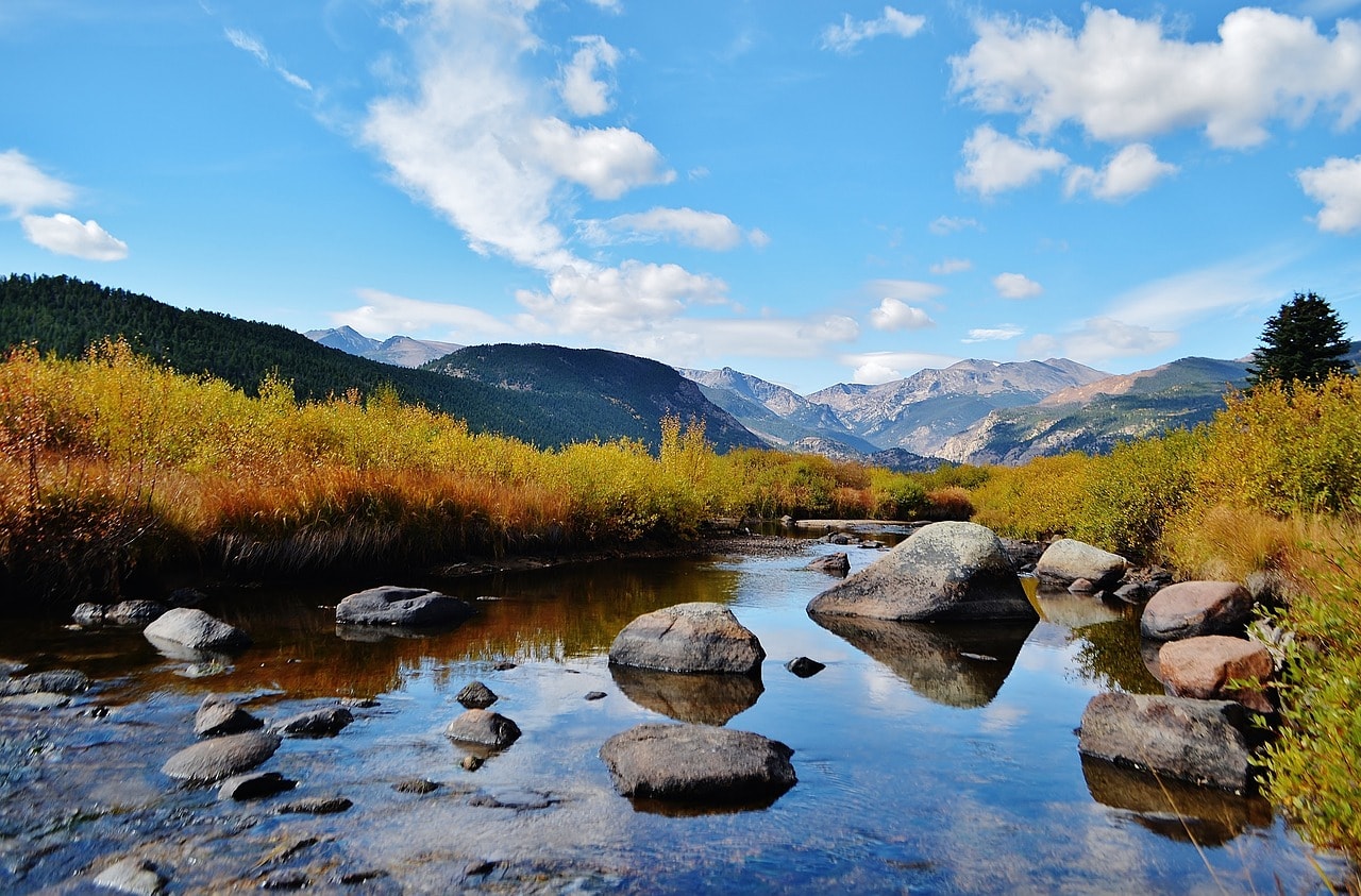
Moraine Park Discovery Center
The Discovery Center, or the Moraine Park Museum, is located a short drive from the Beaver Meadows Visitor Center at the west end of Estes Park, along Bear Lake Road. This is a cabin built at the beginning of the 20th century with a fascinating display of local natural findings, including charming geological discoveries and plenty of information and displays about wildlife and vegetation. It's one of the few places in the huge nature park where you can learn smartly about the rare event known as the Rocky Mountain Range. The museum is closed during the winter.
Cub Lake Trail
The Cub Lake Trail, located at Cub Lake, is one of the friendliest trails in the park for hiking. It offers breathtaking views and a relatively moderate physical effort. This is an eight-kilometer circular trail starting from Moraine Park and climbs towards the alpine Cub Lake. You can also take an almost identical path a little north that starts from Moraine Park along the Fern Lake Trail. Both paths go through coniferous forests that begin to thin as you ascend towards the lake. This is probably the best area for observing the park's wildlife.
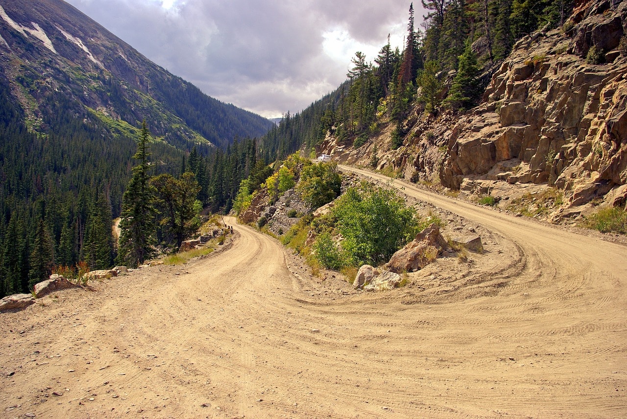
Old Fall River Road
The narrow and beautiful dirt road of the Old Fall River Road is the Rocky Mountain National Park for advanced travelers. It's the driving route for those who've already taken the Trail Ridge Road (Highway 34) or who want to complete a circular route with a car from the summit, a route that begins and ends in Estes Park. It's an especially charming and narrow road that connects the heights of the ridge with Estes Park via a secondary route, slightly north of Highway 34.
The road starts on Highway 34, a bit west of Estes Park near the Sheep Lakes Information Station, and ends at the short and enchanting Alpine Ridge Trail, where it intersects again with Highway 34. The road stretches about 18 kilometers, it's very slow (with a speed limit of 25 km/h) and almost intimately touches the wildlife of the Rocky Mountains. The road travels along the path of the Fall River channel and reaches the Continental Divide at Chapin Pass. The most beautiful stop is at Chasm Falls, and there are other stops along the way for scenic viewpoints and picnic areas.
Longs Peak
Longs Peak, towering at 4,350 meters, is the highest within the park's boundaries. The Rocky Mountains in Colorado have plenty of peaks at this elevation. The highest peak in the range, Mount Elbert, just south near the ski town of Aspen, is only about fifty meters taller than Longs Peak. The great advantage of Longs Peak is its accessibility. While it's certainly a challenging hike suitable only for pros, you can climb from the north side almost up to the summit.
The arduous East Longs Peak Trail heads west from the road that runs south from Estes Park (Route 7) and climbs 22 kilometers eastward to the summit. You can also take the Keyhole Route – Longs Peak – which is considered more challenging. There are also trails that branch south from Bear Lake and connect with the East Longs Peak Trail. It's a stunning and very unique path, but permits are required to access it, and being in good shape is a must. The journey takes about 15 hours round trip, so you need to start very early in the morning.
For those who don't want to climb to the summit, the most beautiful view is from the chapel dedicated to Saint Catherine, Saint Catherine's Chapel on the Rock, near Highway 7. The chapel and the peak are among the most photogenic landmarks of the park.
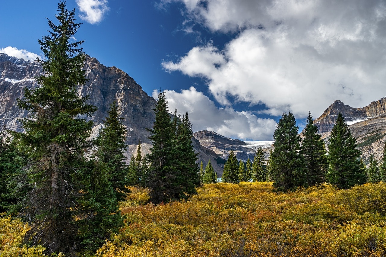
Lily Lake
The loop trail around Lily Lake is one of the most popular in the park, mainly because the lake is very accessible by car. The lake is located near Highway 7, a short drive south of Estes Park. Around the lake, there's a lovely circular path. The lake is surrounded by peaks, but it's not a high alpine lake. It's a particularly fun place for a walk with small children.
Mills Lake
The entire watershed area of Glacier Creek is full of charming hiking trails south of Bear Lake. It's a wooded area perfect for wildlife watching and brimming with numerous streams and creeks. The most beautiful lake in the area is Mills Lake. The trail leading to the lake is the Mills-Black Lake Trail, which can be accessed from a wide range of hiking paths in the region. It's worth starting your journey at Bear Lake on the stunning Glacier Gorge Trail—a moderate hiking path about eight kilometers long (depending on the chosen route, as there are many options to reach the lake) and very popular.
The Holzwarth Historic Site
One of the most beautiful spots in the park area lies on the western slopes of the ridge, descending towards Grand Lake. This is the historical land of the Holzworth family. The family arrived at the site in 1917 and engaged in logging along the Colorado River. To reach the site, park at the nearby lot off 34, just south of Timber Creek Campground. From the parking lot, there's a trail leading to a bridge crossing the Colorado River.
This is the mountainous and narrow section of the legendary river that cuts its way through the coolest national parks in the United States downstream. Here you can see the cabin where the family lived and the “agricultural” area nearby. It's a completely surreal place, especially if you visit in the fall or spring, when you can truly appreciate the impossible living conditions in the area.