Zion National Park – The Stunning Nature of Utah
Zion National Park stretches along the breathtaking canyon of Navajo Sandstone, carved by the erosion of the Virgin River, a tributary of the Colorado River. The main canyon in the park is perhaps the most popular natural space among the vast array of canyons and geological wonders of southern Utah, where there is an astonishing concentration of stunning national parks. The canyon boasts legendary hiking trails, breathtaking views from the cliff tops and the gorge, and an American orderliness that allows even the most pampered traveler to experience the wild nature.

How to explore Zion Park?
A significant part of the trip in Zion National Park takes place along the Virgin River path, the mountain river that crosses Zion Canyon from north to south. Zion Canyon Road ascends the river to the Temple of Sinawava. Along the road, there are opportunities to explore a wide range of attractions and hiking trails climbing upwards. North of the temple is the popular Riverside Walk. It's an accessible and easy path, following by the Narrows, a challenging trail that involves climbing and walking in the stream bed itself.
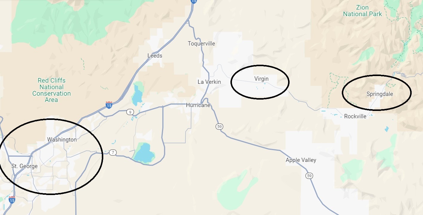
Besides the canyon, the park features several attractions and hiking trails of varying levels. The northern area of Kolob Canyons is partly accessible by car. The town of Springdale, the southern gateway to the park, serves as the logistical center and starting point for tours in the canyon.
How many days do you need for a trip to Zion National Park?
For a trip to Zion National Park, it's recommended to dedicate a full day or two. If you’re visiting specifically for the more attractive hiking trails, plan for two to three days of exploring, including the Kolob Canyons to the north.
Generally, it's wise to find accommodation near Zion National Park rather than just a day trip back and forth from Las Vegas.
Click here to check availability and prices in hotels, motels, and lodges in and around Zion Park…
Click here for a list of 8 lodges and motels near Zion National Park…
12 Must-See and Do Things in Zion National Park
- Enjoy the canyon views from the comfort of your car’s air conditioning on the Zion Canyon Scenic Drive
- The giant boulder of the Temple of Sinawava right in the heart of the park
- Challenging hiking in the Virgin River Narrows The Narrows
- Moderate hiking along the Riverside Walk river channel
- Mountain climbing up the Angels Landing hiking trail
- The refreshing mist of Weeping Rock
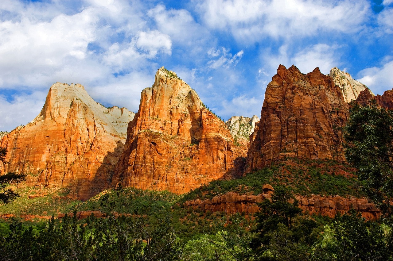
- The stunning Three Patriarchs peaks at the Court of the Patriarchs
- Hiking the trail to the Emerald Pools
- Open canyon views along the Pa'rus Trail
- Climb up to the Watchman Trail viewpoint in Springdale
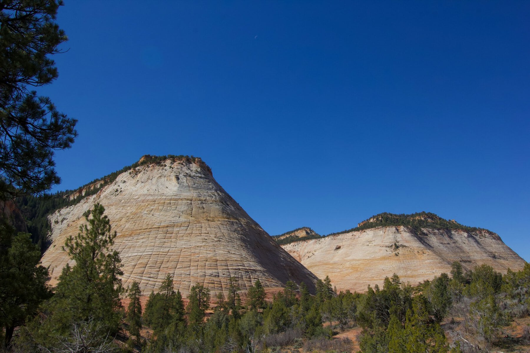
- The spectacular geological structure, Checkerboard Mesa
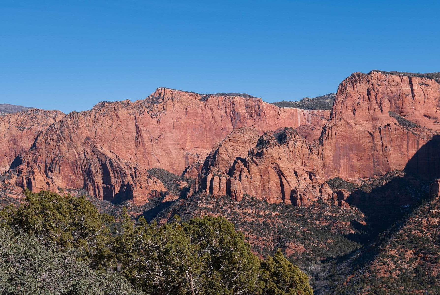
- The pristine views of Kolob Canyons
Click here for a full day trip from Las Vegas to Zion and Bryce Canyon Parks + lunch…
What is Zion National Park?
Zion National Park is a vast nature reserve that includes the breathtaking Zion Canyon to the south and the pristine Kolob Canyons to the north. The central part of the park is Zion Canyon, formed by the erosion of the soft rock by the mountain river, the Virgin River. This river carves its path from the springs area of Big Springs up in the peaks, continuously making its way southwest. It feeds into the Colorado River at the popular Lake Mead, slightly east of Las Vegas.
- The river carves its way through the soft sandy rock of the Navajo Sandstone. This stone is the primary geological feature of the Colorado Plateau region and the source of the stunning landscapes in the famous national parks of southern Utah and Arizona.
- The park is located on the unique geological/climatic junction of the Great Basin (the high plateau surrounded by the Sierra Nevada range to the west and the Rockies), the Colorado Plateau (the upper drainage basin of the Colorado River), and the Mojave Desert, the giant rain shadow desert east of the Sierra Nevada.
- The length of Zion Canyon, the central site in the park, is approximately 24 kilometers and its depth about 800 meters.
- The elevation in the southern part of the park is over 1100 meters. Horse Ranch Mountain is the highest peak in the park, rising over 2600 meters above sea level.
- The elevation and topography significantly affect the park's extreme weather.
Map of Zion National Park
How to get to Zion National Park?
How to reach Zion National Park by flight?
Harry Reid International Airport (LAS) in Las Vegas – The airport of Las Vegas is located right next to the Strip and caters to the tourism traffic of Sin City. Known more by its former name McCarran, it is situated east of the Strip, just a five-minute drive from the center of the Strip.
This is one of the busiest airports in the U.S. It's connected to almost every airport in the U.S. and Canada, both small and regional. There are several routes arriving at the airport, including from major airports in Europe, making it easy to reach via a transfer airport in Europe or East Asia. The drive from the airport to Zion National Park takes just over two hours.
Click here for searching discounted flight tickets to Las Vegas or Salt Lake City…
Salt Lake City International Airport (SLC) – This is the main airport of Salt Lake City and the largest in the state of Utah. It's a major hub for Delta Airlines, including routes to several important European capitals like London, Amsterdam, Paris, and more. The airport is well-connected with major airports across the USA, both on the Atlantic coast such as New York and Miami, and on the West. The travel time from Salt Lake City Airport to Zion National Park and the national parks in southern Utah is about a three-hour drive.
How to reach Zion National Park by car?
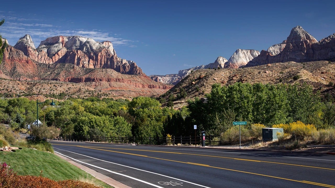
Zion National Park is situated along Route I-15, the highway connecting Las Vegas with Salt Lake City. This highway offers quick access towards neighboring Nevada and on to Los Angeles. Access to the national park is from the town of Springdale, located in the southern part, which serves as the logistical and hospitality center for this popular park. The drive from Springdale to Highway 15 is about 40 minutes.
The main road within the park is the winding Route 9. From this road, the breathtaking Zion Canyon Road branches north into the canyon, with most of the park's attractions along its length. The road runs alongside the Virgin River, right at the heart of the park, and ends at the large parking lot of the Temple of Sinawava.
On Highway 9, you'll find the Zion-Mount Carmel Tunnel, a tunnel over one and a half kilometers long that cuts through the ridge towards the town of Mount Carmel at the eastern end of the park. This tunnel provides eastern access to the park and offers a quick route towards the nearby Bryce Canyon National Park.
For a day trip from Las Vegas to Zion Park, click here…
When to Visit Zion National Park?
The weather in Zion National Park is a critical factor for your trip. It's an area with an extreme continental climate at a high elevation, featuring prominent desert characteristics. The temperature difference between the peak of summer and the peak of winter can reach fifty degrees on average, an extreme and astonishing statistic in itself.
For a jeep tour along the cliffs of Zion Canyon during sunset, click here…
Precipitation hardly affects visits to Zion Park, as rain and snow are relatively rare. January and February see the most precipitation, usually in the form of snow. August also tends to be somewhat rainy, which helps cool down the scorching heat a bit.
For planning a trip route in Zion National Park and professional consultation, click here…
- The perfect season to visit Zion National Park is spring, from April to June. During spring, the weather is wonderfully pleasant, neither hot nor cold (it can be chilly to quite cold at times, and can also be warm). The rivers in the canyons are especially lively from the melting snow, and the long sunshine hours allow for longer hikes until the afternoon.
- Fall is also a fantastic time to explore Zion National Park. During October and November, the weather is mild—not too hot anymore, and not yet freezing. Frost and snow begin towards the end of November, but even with evening temperatures around freezing, you can still enjoy hiking in the area.
- Summer in Zion National Park is quite challenging. The weather is extremely hot and very dry, with average temperatures soaring above 95 degrees Fahrenheit. From mid-July to mid-September, there can be days of extreme heat exceeding 108 degrees. On such days, access to certain park areas is limited, and it's better to stay in the comfort of an air-conditioned drive.
- Winter in Zion National Park is just as challenging as summer. The temperature fluctuations in winter are absolutely wild, with options for crazy below-zero days combined with the occasional sunny days that can reach up to twenty degrees. If you hit a nice day in winter, the park is a dream; if it's freezing, it's tough to hike in the park, with accumulations of snow and ice.
Click here for a day trip from Las Vegas to Zion Park and the nearby Valley of Fire…
Everything You Need to Know About Lodging in Zion National Park
Zion National Park is a relatively secluded natural area, and if you want to hike more than a few hours, it's wise to find a place to stay near the park. Most people visiting Zion National Park come for a day trip from Las Vegas. The vibrant gambling city of Nevada is a two-and-a-quarter hours drive south of the park on the I-15.
Click here to find accommodations in Springdale, Utah…
Click here to check availability and prices for hotels in Las Vegas…
Accommodation options near Zion National Park:
- Hotels and motels in Springdale – The town of Springdale is the main gateway to the park and also houses the visitor center. Throughout the town, there are plenty of hotels and motels ranging from one to three stars. The central road of the town – Zion Park Boulevard, is filled with lodgings, restaurants, shops, and everything needed for a park visit.
- Throughout the park itself, both in Zion Canyon and other parts, there are several active lodges where you can spend the night. The lodges are full-fledged hotel facilities and of very good quality. The official lodge in the park is the Zion National Park Lodge, opposite the Emerald Pools.
- The most affordable motels and hotels can be found in the small towns outside the park, like St. George and Washington on I-15. The drive from the Utah-Nevada border towns to the park itself is about an hour.
- The vacation capital, with its gambling, entertainment, resort hotels, and more, Las Vegas is just a two-hour drive from the park. Staying in Las Vegas is a great solution for a park trip, especially if you only intend to enjoy the comfort of the vehicle and not venture into the more challenging hiking trails of Zion Park.
Click here for a list of 8 lodges and motels near Zion National Park…
Click here for all the information on hotels and resorts at the Las Vegas Strip…
Map – Where to Stay in Zion National Park
How to Plan a Trip Route in Zion National Park?
- Exploring the national park is part of the travel itinerary for the national parks of southern Utah. The visit to Zion Park is included in a travel route that also encompasses the magnificent Bryce Canyon National Park located slightly to the east, the scenic roads of the Dixie National Forest between these two parks, and the Grand Staircase-Escalante National Monument.
- It goes without saying that it's worth heading further east to the stunning parks of eastern Utah near the city of Moab – including Arches National Park, Capitol Reef National Park, Canyonlands National Park, and the breathtaking Monument Valley on the Utah-Arizona border.
Click here for a guided horseback tour in the eastern part of Zion Park…
The intense route of southern Utah is part of the most important area of national parks in what is known as the Great Basin. Zion National Park is located just over a two-hour drive from Las Vegas and the trip to the park is part of an extensive parks tour based in Nevada's legendary gambling city.
- The short circular route starts in Vegas, from there a drive to the spectacular Grand Canyon Park in northern Arizona and from there a drive of almost 4 hours to Zion Park and back to Las Vegas
- The long circular route includes a drive further east from the Grand Canyon to Monument Valley, then through the city of Moab visiting the national parks in eastern Utah – Arches, Canyonlands, and Glen Canyon
- You can also continue north towards Salt Lake City and further north to the parks of the Rocky Mountains – Yellowstone Park and the stunning Grand Teton Park. The drive to the northern parks takes two days each way, or an aggregate of eight and a half hours of driving
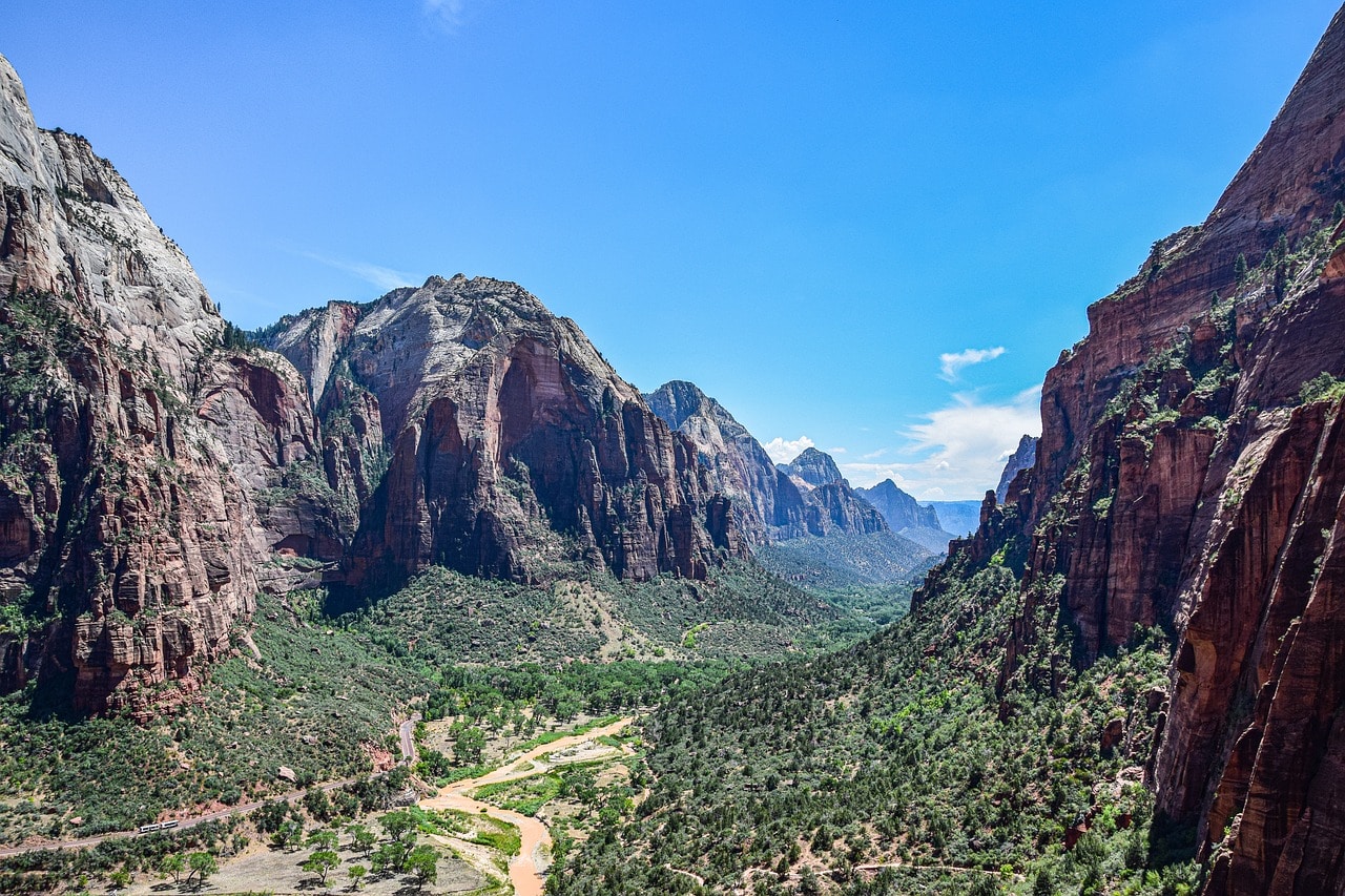
All the attractions in Zion National Park
Zion Canyon Scenic Drive
The scenic road that runs along the canyon begins from the exit off Highway 9 heading north and stretches for over ten kilometers. It's the canyon experience without too much effort, just sit in your car or the park's shuttle and enjoy the view. For most of the year, access to the road is via a park shuttle, aiming to reduce vehicle traffic.
The road runs alongside the Virgin River and features some of the canyon's most stunning sites, such as the Court of the Patriarchs Viewpoint and Angels Landing. Along the way, you'll also find the canyon lodge, which is the starting point for the hiking trail to Emerald Pools. The scenic road ends at the Temple of Sinawava.
Temple of Sinawava
The Temple of Sinawava is the central landmark of Zion Canyon in Zion National Park. It's an enormous, towering boulder that dominates a relatively wide valley in the canyon. This valley marks the end point of Zion Canyon Road, the scenic road that runs deep along the Virgin River's path.
The temple's large parking lot is the starting point of the famous hiking trail up the Virgin River leading to the Narrows. The trail, known as the Riverside Walk, is the accessible and paved section towards the Narrows. In the Narrows, the accessible trail disappears, and you can continue on the Narrows Bottom Up, a route that includes crossing the creek by walking or swimming.
The Narrows
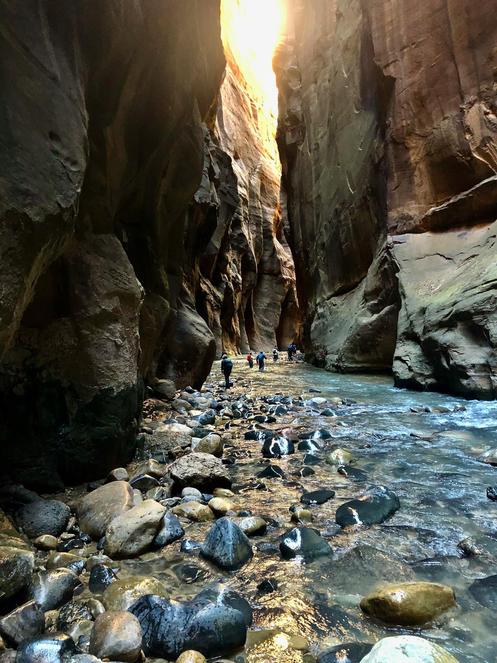
The Narrows, or the narrow passages, are the most popular place in Zion National Park. These passages are part of the hiking trail The Narrows Bottom Up, which runs right along the shallow and elevated route of the Virgin River. It is the narrowest section of the creek's channel, with cliffs towering 300 meters above the channel, sometimes just a few meters apart.
The basic trail length along the creek is one and a half kilometers, and it's accessible above the channel. After that, the trail merges with the creek, allowing you to walk through it up to the Orderville Gulch, the upper part of the channel. There are several sharp bends in the creek there.
Access to the top part of the Narrows is limited by water flow. The trail is not open in spring months due to stream flow, and also after rainy days during summer and fall. Since the channel is very sensitive to flash floods, as soon as it rains, rangers clear the trail.
Riverside Walk
The Riverside Walk hiking trail is a popular intermediate stage between the easy and open P'haros Trail and the challenging Narrows route, the wet trail in the heart of the canyon where the cliffs almost touch each other. The Riverside Walk marks the beginning of the Narrows along the Virgin River, in the lower section of the canyon's heart.
The Riverside Walk Trailhead is a Temple of Sinawava, and the upper part of the trail transitions into the Narrows wet trail. Most hikers in the park stroll along this trail to reach the Narrows, but only true adventurers go beyond. Still, the paved path is arguably Zion Canyon at its finest. The trail is convenient and partly accessible, right beneath the giant canyon cliffs. It's mostly shaded, so you can hike it even on the hotter days. The trail spans two kilometers and is especially crowded in spring and fall.
Angels Landing
Angels Landing is a massive rock on the western rim of the canyon. The trail carved to the boulder is now one of the most popular hiking trails in Zion Park. The path branches off from the West Rim Trail through the famous slalom known as Walter's Wiggles.
Angels Landing Trail is a pretty tough journey along a mountain shoulder path until you reach the edge of the boulder, including using ropes for climbing. Access to this popular trail is limited and requires a permit provided by the park through a lottery.
Click here for guided accompaniment by a certified guide on the Angels Landing hiking trail…
Weeping Rock
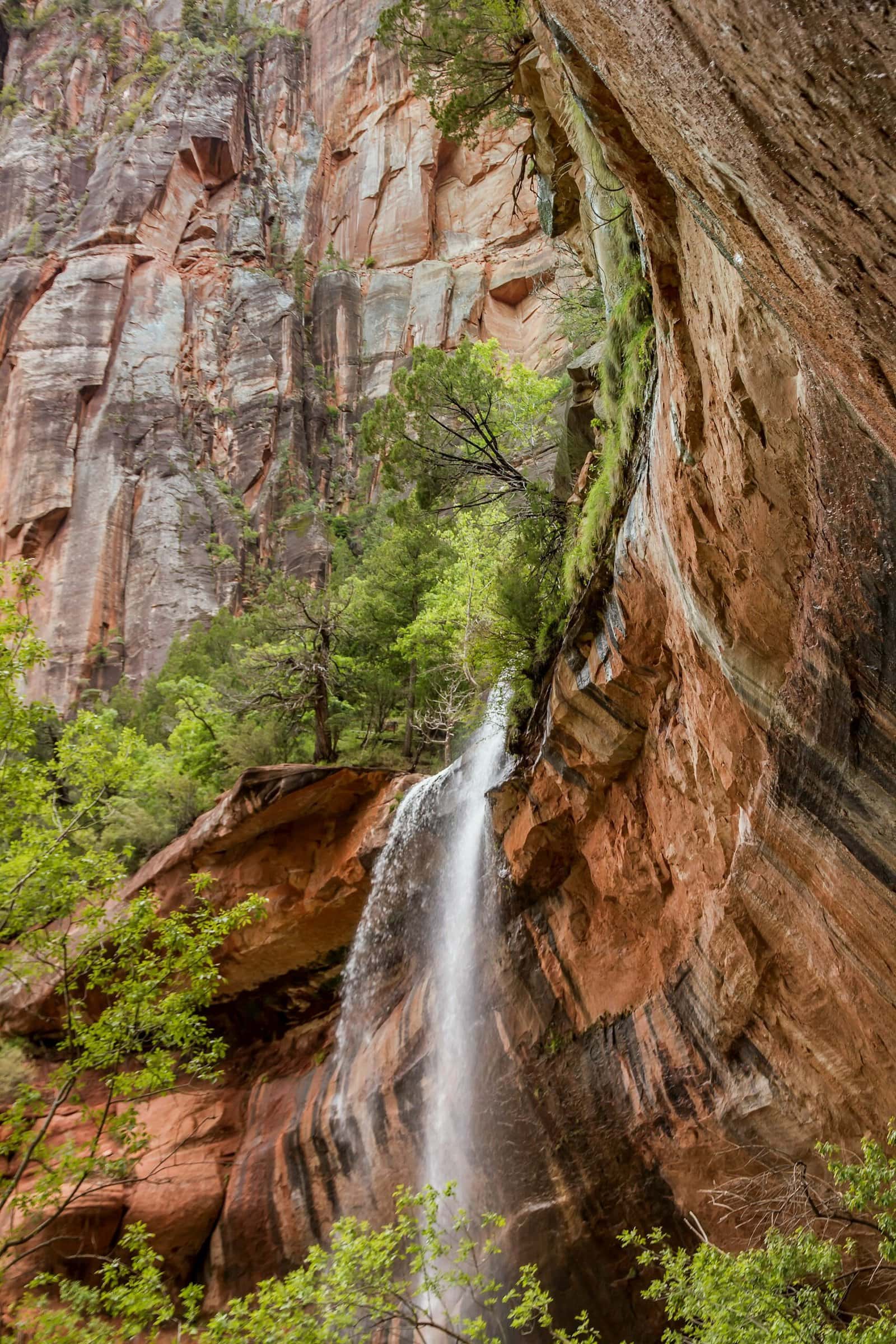
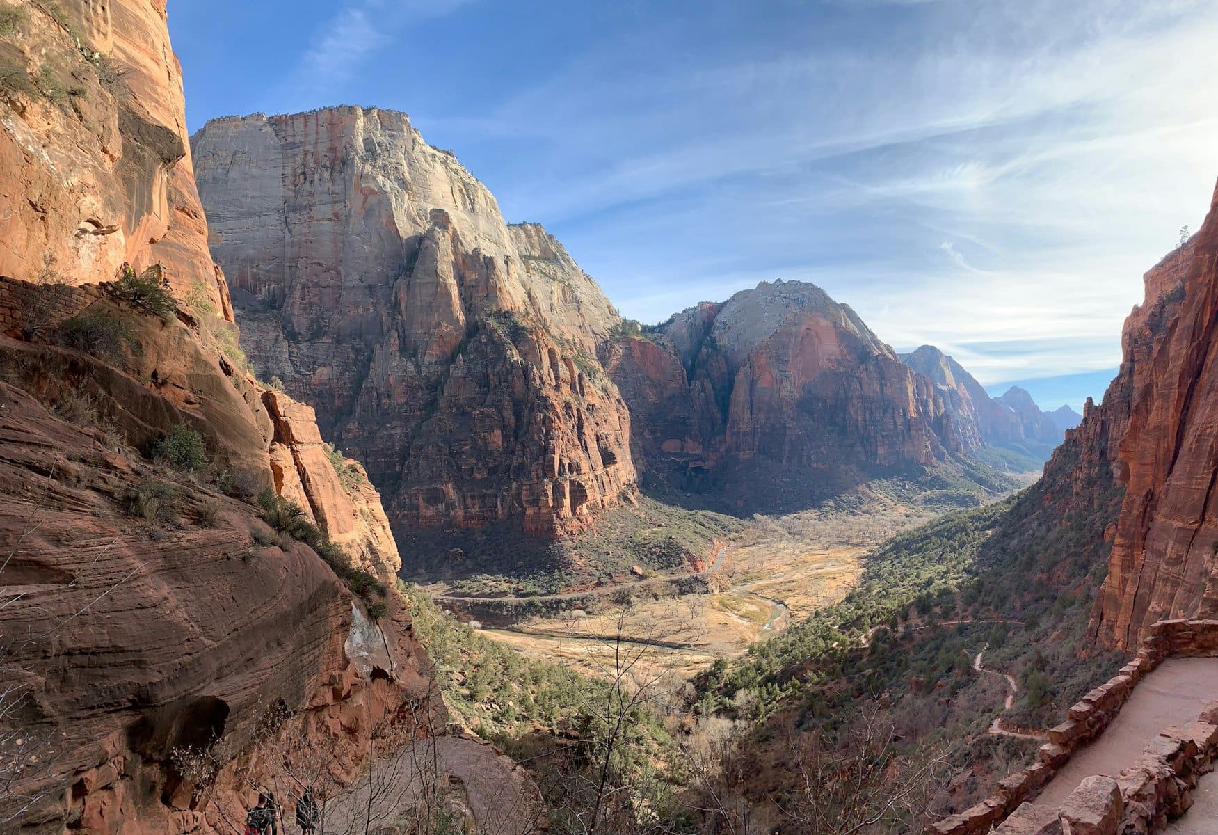
Weeping Rock is one of the favorite attractions in Zion Canyon. It is located right across from Angels Landing. From the top of a steep cliff, a spring of groundwater creates a thin waterfall that falls from a great height. Weeping Rock is now one of the most beloved hiking trails in the park; it's short and sweet (short because it's quite a climb). The trail is less than a kilometer long and leads to touching the lower part of the giant cliff.
Court of the Patriarchs
The stunning geological formations, known as the Three Patriarchs – Abraham, Isaac, and Jacob, are situated right in the heart of the canyon. The boulders stretch along the western rim above a bend in the Virgin River. You can take a short trail up the eastern rim for a breathtaking view of the three mountains.
You can also embark on a more challenging hike towards the three peaks on the Sand Bench Trail, which is about 12 and a half kilometers long. The trail includes a climb up the canyon and then a walk along the rim from above, offering simply breathtaking views of the gorge.
Emerald Pools
The Emerald Falls trail is one of the most beautiful hiking routes in Zion Park. The trail includes a climb towards the springs of a mountainous stream that rapidly descends into the Virgin River. Along the secondary stream channel, there are a series of pools and small waterfalls. The path leads west from one of the most touristy areas in the canyon, the Zion National Park Lodge, where there are hotels and restaurants.
The trail climbs up the channel and reaches the Lower Emerald Pool, where water really seeps from the rock. You can also continue to the Upper Emerald Pool, which is nestled against a giant cliff above it. The trail to the lower pool is considered relatively easy and is almost two kilometers long. The trail to the upper pool is more challenging and is almost four kilometers long.
Pa'rus Trail
The Pa'ros Trail is one of the most popular in Zion Park, mainly because it's the most organized, easiest, most paved, and still offers the stunning experience of walking through the canyon. The trail is well-paved, running parallel to Zion Canyon's scenic road. It's the family trail of Zion Park, allowing everyone to walk in the breathtaking semi-arid canyon landscape, shaded by cliffs, without aids such as ropes or climbing.
The full route is five kilometers from the Zion Canyon Visitor Center to near the Canyon Junction Bridge, from where you can return by shuttle to the visitor center.
Canyon Overlook Trail
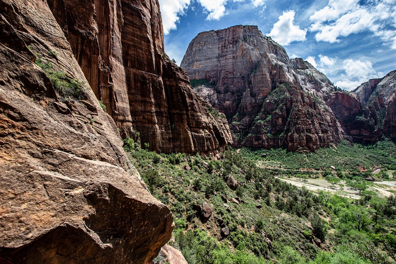
The Overlook Trail is one of the popular trails in the southern part of the park, just above the Mount Carmel Tunnel on Highway 9. It's an upper trail with a stunning view, stretching almost two kilometers. This exposed trail is quite popular among hikers (in spring and fall, it's a bit challenging in the summer) and leads to a viewpoint above the eastern cliffs of Pine Creek Canyon.
From the viewpoint, you can see some of the park's most unique mountains and geological formations like the Towers of the Virgin, The East Temple summit, and The Great Arch. The latter is directly opposite the viewpoint.
Watchman Trail
This is Zion Park's southernmost hiking trail, starting right from the eastern outskirts of the town of Springdale. The trail begins at the large parking area of the Zion Canyon Visitor Center, runs along the lower part of the Virgin River, and climbs up the mountain to a spectacular viewpoint.
The viewpoint offers an understanding of the canyon's unique geography. You can see the upper and narrow part of the Virgin River gorge bursting out of the narrows and the canyon's expansion into the valley where Springdale is located.
The Checkerboard Mesa
The Checkerboard Mass is one of the most impressive geological marvels in Zion National Park. This mass is located in the eastern part of the park, a fifteen-minute drive from the town of Mount Carmel, the park's eastern entrance. The hard rock is named for the grooves along its length and width, creating squares with crisscross engravings. You can view the rock mass from the Checkerboard Mesa View Area, located at a stop on Highway 9 east of the Mount Carmel Tunnel.
Zion Human History Museum
The small house where the museum is located sits just north of Springdale and the park's visitor center. The museum contains archaeological and ethnological findings of cultures that settled in the canyon area and original items found in the park. The items include decorative objects from native peoples dating back thousands of years, as well as items left behind by Mormon settlers who tried to enter and settle the canyon during the 18th century. The settlement of the Mormons was driven by religious motives, as they believed divine presence touched the canyon.
Kolob Canyons
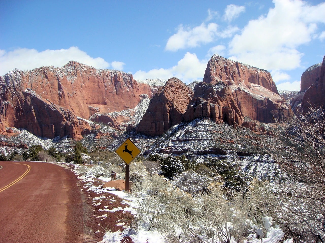
Kolob Canyons is the northern section of Zion National Park and is geographically separated from Zion Canyon or the Virgin River Canyon, the central part of the park. It's a less crowded area but no less impressive geologically. It's accessible from the I-15 highway running to its west, where the Kolob Canyons Visitor Center is located.
From the visitor center, you can drive up the internal road of Kolob Canyons east to Kolob View Point, where there is a large organized parking lot. From the parking lot, the Timber Creek Overlook hiking trail begins, descending southward to the mountain's shoulder.
Numerous hiking trails of various levels branch off the road, some short and others stretching over more than twenty kilometers. These trails run along the cliffs or descend into the steep river gorges carving through the canyons. Kolob Canyons are like Zion National Park for the experienced, considered a paradise for hikers, without the chaos and crowd of Zion Canyon to the south.
The Subway
The Subway is likely the most challenging hiking trail in Zion Park. The path isn't marked but runs along the mountainous river Left Fork of North Creek, one of the canyons in Kolob. To walk the trail, you need a permit from the park authorities, and it includes unguided walking on the slippery bank of the river, climbing cliffs with special equipment, and other things that limit the route to extreme sports enthusiasts.
With the challenge comes the reward; it's one of the most beautiful and unique trails in Zion Park. In parts, the cliffs meet on both sides, creating almost an underground path where the river flows, and that's why it's also called the Subway. The route is approximately 15 kilometers long. To access the route, you need a special permit, as mentioned, and also to win a lottery, which aims to reduce the number of hikers in this unique canyon.