Yosemite National Park
Yosemite National Park is one of the most popular nature spots in the USA. It's a must-visit for nature-loving families heading to California, and some even consider it the highlight of a trip to the western USA. Just a three-hour drive from San Francisco lies the breathtaking Yosemite Valley, home to iconic peaks like El Capitan and Half Dome, a series of tall, well-known waterfalls along the Merced River and its mountainous tributaries, unique dome-shaped monolith peaks, and a multitude of tourists who flock to the enchanting valleys every summer. Yosemite Park is famous for its glacial valley's geological features and its legendary hiking trails.

How many days are needed for a trip to Yosemite National Park?
If you're not planning to do complex hiking trails, it's worth spending a day or two at Yosemite Park. Nature and hiking enthusiasts might want to dedicate several days to exploring the park's trails and plan the routes efficiently. Most people stay at lodges in the park, in Mariposa, or in Oakhurst nearby.
Click here for a list of 8 comfortable lodge hotels near Yosemite National Park…
Click here to check availability and prices of hotels near Yosemite Park…
12 Must-See and Do Things in Yosemite National Park
- The breathtaking cliff of El Capitan
- The stunning Yosemite Falls
- The unique Bridalveil Fall
- The Horsetail Fall or Firefall in February at sunset
- View of the iconic Half Dome
- The wild Vernal Falls
- Panoramic view from Glacier Point
- For the fit only – hike the John Muir Trail from Yosemite Valley to Tuolumne Meadows
- The unusual sight of Cathedral Peak
- The massive O'Shaughnessy Dam
- The alpine view of Lundy Canyon above Mono Lake
- Skiing at Mammoth Mountain resorts
Click here for a day trip from San Francisco to Yosemite…
What is Yosemite National Park?
Yosemite Park is one of the most popular nature travel parks in the USA. Located in the eastern part of California, in the slopes and peaks of the Sierra Nevada Range, the park is set in the higher part of the Sierra Nevada, with peak altitudes above the canyons and valleys reaching 13,000 feet. To the south of the park, towards Sequoia National Forest, lies Mount Whitney, the highest peak in the continental USA (excluding the Alaskan peaks). The park covers more than 3,000 square kilometers.
- The heart of the national park is the Yosemite Valley, where the Merced River swiftly descends until it flows into the San Joaquin River in the San Joaquin Valley, part of California's Central Valley.
- Yosemite Park was declared a national park and nature reserve in 1890, along with the Sequoia National Forest to its south and Kings Canyon National Park.
- The three parks were designated as nature reserves thanks to the efforts of John Muir, a Scottish-born American ecologist who worked extensively politically to preserve the unique nature of the Sierra Nevada range. They were declared parks about 18 years after the designation of Yellowstone Park in Wyoming.
Click here for a day trip from San Francisco to Yosemite Park and Sequoia Park…
The Geological and Botanical Structure of Yosemite Park
Beyond the stunning geological landscape formations, the park is considered a very important ecological area with more than 160 rare plants and a wide variety of animals.
Due to the park’s topographical structure, it is divided into climatic sections from peaks at 4,000 meters to slopes at 600 meters. These sections include five different adjacent climate zones, creating a rare zoological and botanical richness in its composition.
- The park spans a series of mountainous plains and canyons formed by the erosion of stone due to glacier retreat. These valleys are called U-shaped valleys, and the most famous among them in the park is Yosemite Valley along the Merced River.
- Most of the park’s rock is granite, and due to erosion, the area features geologically breathtaking formations that have become an icon of the Sierra Nevada.
- The park features a range of stunning granite domes created from monoliths (giant single rocks).
- The most famous of the park’s peaks is El Capitan, a paradise for alpinists and one of the toughest and most attractive climbing destinations in the world.
- Amidst the valleys and peaks, countless stunning waterfalls can be found, mostly in the Yosemite Valley section.
- An iconic feature of the park is the giant sequoia trees, which can also be seen in Sequoia National Park to the south, and especially in Kings Canyon National Park.
Map of Yosemite National Park
How to get to Yosemite National Park?
How to fly to Yosemite National Park?
Fresno Yosemite International Airport (FAT) – Fresno's international airport is located a 10-minute drive west of downtown. It serves the tourist traffic for Yosemite National Park, with a drive time of about two hours uphill to the Sierra Nevada range. The regional airport is connected to major airports in the western U.S. and the Midwest.
San Francisco International Airport (SFO)
The main airport of San Francisco is located on the bay shore about twenty kilometers south of the city center. It is one of the largest and main airports on the Pacific coast in the USA, and it's easily accessible through direct flights or transfers from Europe, South America, or East Asia. This airport serves as the gateway for trips into the heart of California, including access to the wine country and Napa Valley north of the city, and the spectacular Yosemite National Park. The travel time from San Francisco Airport to Yosemite Park is around three hours.
Click here for a round-trip bus tour from San Francisco to Yosemite…
Oakland International Airport (OAK)
Oakland International Airport is a very convenient option for accessing San Francisco. It serves as the home base for Southwest Airlines and is often cheaper to fly into (within the USA) than San Francisco Airport. The airport is located just south of Oakland and is well connected to San Francisco via the BART system.
Oakland Airport is well connected with all major airports in the USA, both on the West and East coasts. It can be easily reached via transfers with connections in New York, Los Angeles, or Chicago. The travel time from the airport to Yosemite Park is approximately two and a half hours.
How to reach Yosemite National Park by car?
Accessing Yosemite Park by car is from the Central Valley cities. The I-5 highway crosses California's Central Valley from south to north along the western edge of the vast and fertile valley. Highway 99 is the main highway in the center of the Central Valley, along which the large cities of the valley such as Fresno, Modesto, Merced, and Sacramento, the capital of California, are located.
Highway 120 connects Modesto with the Tioga Road, the road that crosses the central valley of the park through the Tioga Pass to Mono Lake. Highway 140 connects the city of Merced in the Central Valley with the Yosemite Valley, the hub and main hiking area of the national park, on the Central Yosemite Highway.
When to Visit Yosemite National Park?
Yosemite National Park is a breathtaking mountainous natural area that's best visited on sunny days. Since the weather typically restricts access during the winter months, the park is mainly active from April to October.
- The perfect season to visit Yosemite Park is late spring, when there's a flawless mix of gushing waters from melting snow, dynamic green nature, snow still on high peaks, and most importantly, it's still calm before the summer crowds descend.
- The best time to visit the park is summer, with ample sunshine, warm weather, and the spectacular views of peaks and glacial valleys at their best. The main downside of summer is the massive influx of tourists in August, leading to heavy crowds and traffic jams in Yosemite Valley.
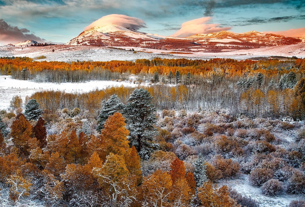
- The fall season is stunning in Yosemite Park. Although the weather starts to cool down and there are rainy days (and snow on the peaks), the entire park is painted in the orange and red hues of fall foliage.
Winter in the park is downright impossible, as all the trails are closed and inaccessible due to snow, and usually, the roads are closed too.
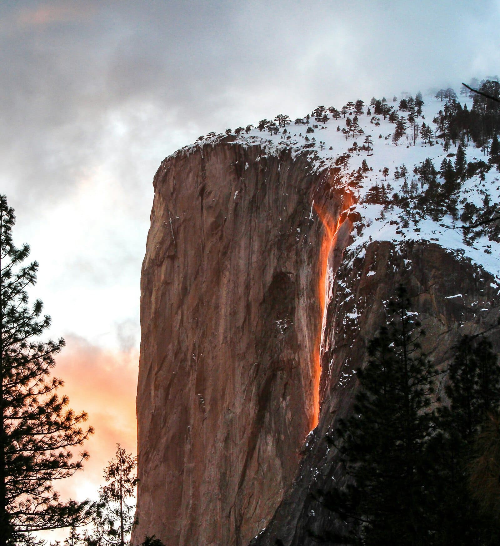
In mid-February, the park attracts quite a few tourists who come to see the famous firefall when the sun gently refracts through the waters of Horsetail Fall, creating a visual illusion of flowing fire.
How to plan a hiking route in Yosemite National Park?
- It's possible and recommended to include Yosemite Park in a trip throughout the central part of California.
- The park is a reasonable drive from San Francisco (about 3 hours), and it's definitely worth combining your park visit with a trip to the marvelous city by the bay.
- Yosemite Park is often part of travel routes from San Francisco along with Napa Valley, including a day trip or a two-day trip to the park.
- Yosemite can be reached by organized tours departing from San Francisco or, of course, by car.
Click here for a guided tour itinerary in Yosemite Park (departing from San Francisco)…
The park is part of the rare natural sites of the Sierra Nevada range and can be combined with a trip to the stunning Mammoth Mountain to the south and the resorts of the ski town Mammoth Lakes, which is active even in summer.
To the south, Sequoia Park and Kings Canyon Park are the places to see the legendary sequoia trees of California.
North of Yosemite Park, you can also travel to the popular Lake Tahoe and its surrounding ski resorts (in winter and spring).
- The trip in Yosemite Park primarily involves driving access to the beautiful accessible locations of Yosemite Valley.
- In the Merced River valley, many of the main attractions in the park such as Yosemite Falls, El Capitan, Half Dome, Sentinel Dome, Vernal Falls, Bridalveil Fall, and more. All the sites are close to each other and there are many viewpoints along the valley's roads – Northside Drive and Southside Drive that run near the riverbank.
- Another route is along Tioga Road, through Tuolumne Meadows towards Mono Lake via Tioga Pass. There, you’ll find several main attractions such as the O'Shaughnessy Dam, Lyell Canyon, Cathedral Peak, and more.
- From Mono Lake to the east of the park, you can drive north on Highway 395 towards Lake Tahoe or south to Mammoth Lakes and the breathtaking Mammoth Mountain, through the Inyo National Forest.
For professional trip planning in Yosemite Park and the Sierra Nevada Mountains, click here…
If you're planning challenging routes that include climbing, rappelling, or long hikes up the glacial valleys towards the peaks, make sure to plan your routes well. This is a vast natural area with hundreds of kilometers of trails at various difficulty levels. Most visitors to the park stick to the traditional route near the roads with stops at different viewpoints.
Everything you need to know about lodging in Yosemite National Park
Since it's worth dedicating two or three full days for exploring Yosemite Park, it's also a good idea to find a place to stay nearby. There are several towns and areas around the park with motels and hotels.
Click here for a list of 8 comfortable lodge hotels near Yosemite National Park…
- Inside the park, there are lodges like the Yosemite Valley Lodge, Curry Village, and The Ahwahnee. The last one is a luxury hotel rated four stars. Staying within the park is convenient location-wise but can be quite boring in the evenings
- Along the Central Yosemite Highway, there are motels that are generally comfortable but not of the highest quality
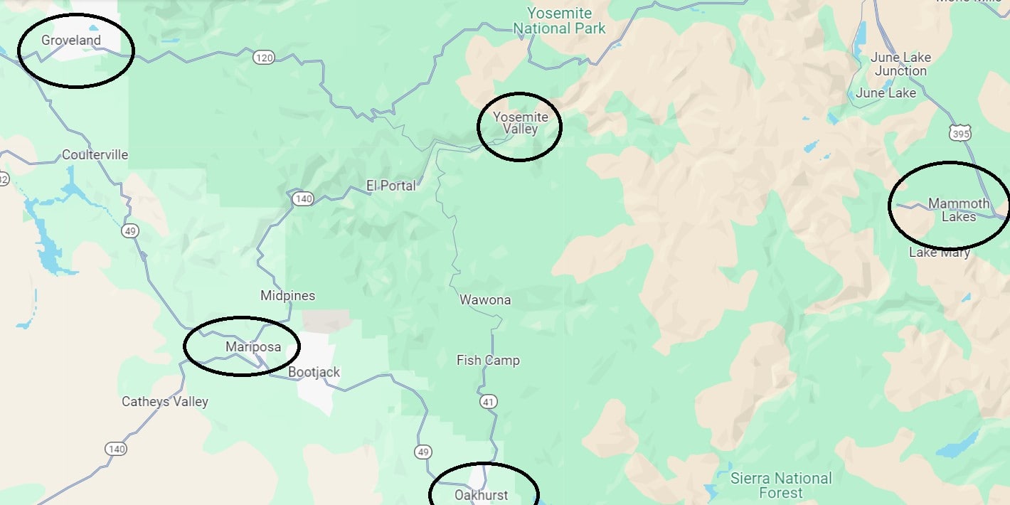
- The surrounding towns and cities like Groveland, Mariposa, and Oakhurst are filled with great motels from all the well-known chains like Best Western, Quality Inn, and more. These are very convenient accommodations within a reasonable driving distance to Yosemite Valley
- You can also stay in the larger cities of the Central Valley such as Fresno or Merced, where there are many motels and hotels. Staying in Fresno is recommended especially if you're planning to visit all the Sierra Nevada parks, including Kings Canyon and Sequoia National Park. Fresno is a big city and the travel time to each of these parks is about an hour or so.
- Another convenient place to stay is the Mammoth Lakes ski resort at the foot of Mammoth Mountain. While the town's resorts are mostly active during the winter ski season, they offer a fun lodging option in the summer too, at a not-too-far driving distance from the eastern side of Yosemite Park. However, staying in Mammoth Lakes isn't worthwhile if you're planning to primarily explore Yosemite Valley.
Click here to find lodging in hotels near Yosemite Park…
Click here to check availability and prices in hotels in Fresno…
Map of recommended areas to stay near Yosemite Park
All points of interest in Yosemite National Park
Yosemite Valley
Yosemite Valley is the main attraction in the vast park. It's a U-shaped valley formed by glacier sliding and erosion of the granite bedrock. The valley lies on the western slopes of the high Sierra Nevada range, spanning about 12 kilometers in length and roughly a kilometer in depth. The flowing Merced River races through the valley's breathtaking mountainous section, significantly contributing to the valley's depth and erosion of the rock.
At the valley's upper part, a series of mountain streams flow along routes full of cascades and waterfalls. They flow in the shadow of mountain ridges and peaks above them, with stunning and unique peaks like El Capitan, Half Dome, and others. It's the junction of Yosemite Creek with the Merced River and the place to witness Yosemite's magnificent waterfalls.
In the heart of the valley stands the nerve center of the park. In what can be called “Yosemite Valley Village,” you can leave your car in an organized parking lot, stock up on food, and even stay overnight in the park lodges. This is the starting point for fun and relaxed hiking trails to the main attractions of Yosemite Valley. There you will also find National Park Service information centers such as the Yosemite Valley Welcome Center and the nearby Yosemite Museum, which features displays on the archaeology of the Native American tribes that lived in the park and explanations of the unique geology.
There are tons of close-knit points of interest in Yosemite Valley, the more southern and tourist part of the park. These are the main must-see attractions in Yosemite Valley:
- Yosemite Falls and Yosemite Falls Trail
- El Capitan
- Horsetail Fall or the Firefall
- Bridalveil Fall
- Vernal Falls
- Half Dome
- Sentinel Dome
- Clouds Rest
- Basket Dome and North Dome
- Glacier Point
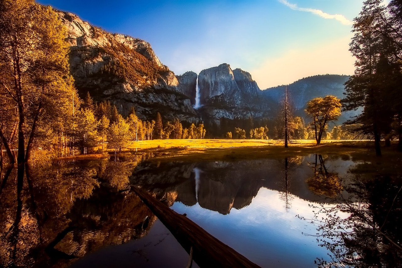
1. Yosemite Falls and Yosemite Falls Trail
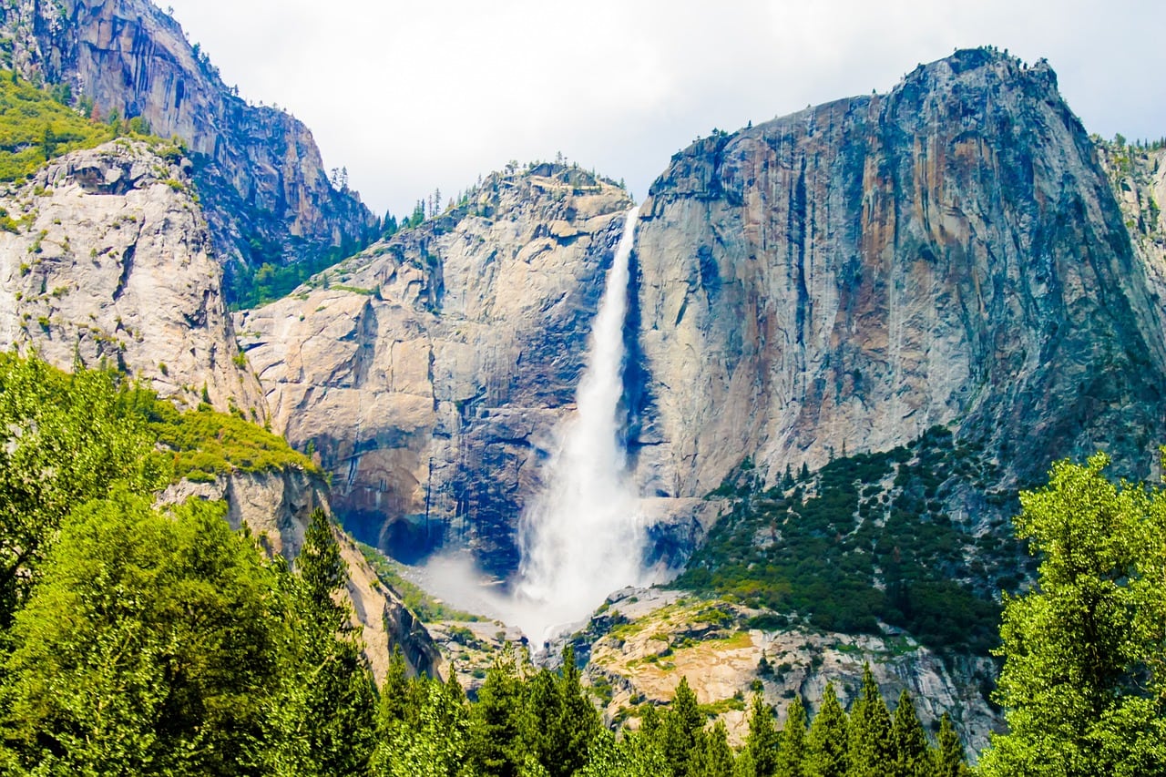
The Yosemite Falls Trail is one of the most popular trails in Yosemite Park. The waterfall trail starts from Yosemite Valley and climbs to the higher parts of the canyon. The full trail is quite challenging with tough inclines and about 6 hours of hiking. There are much more popular sections that don't climb to the top and are considered the most attractive paths in the park. The highlight of the trail is, of course, the great Yosemite Falls, with its continuous sections reaching almost 750 meters. The waterfalls are located in the eastern part of Eagle Peak.
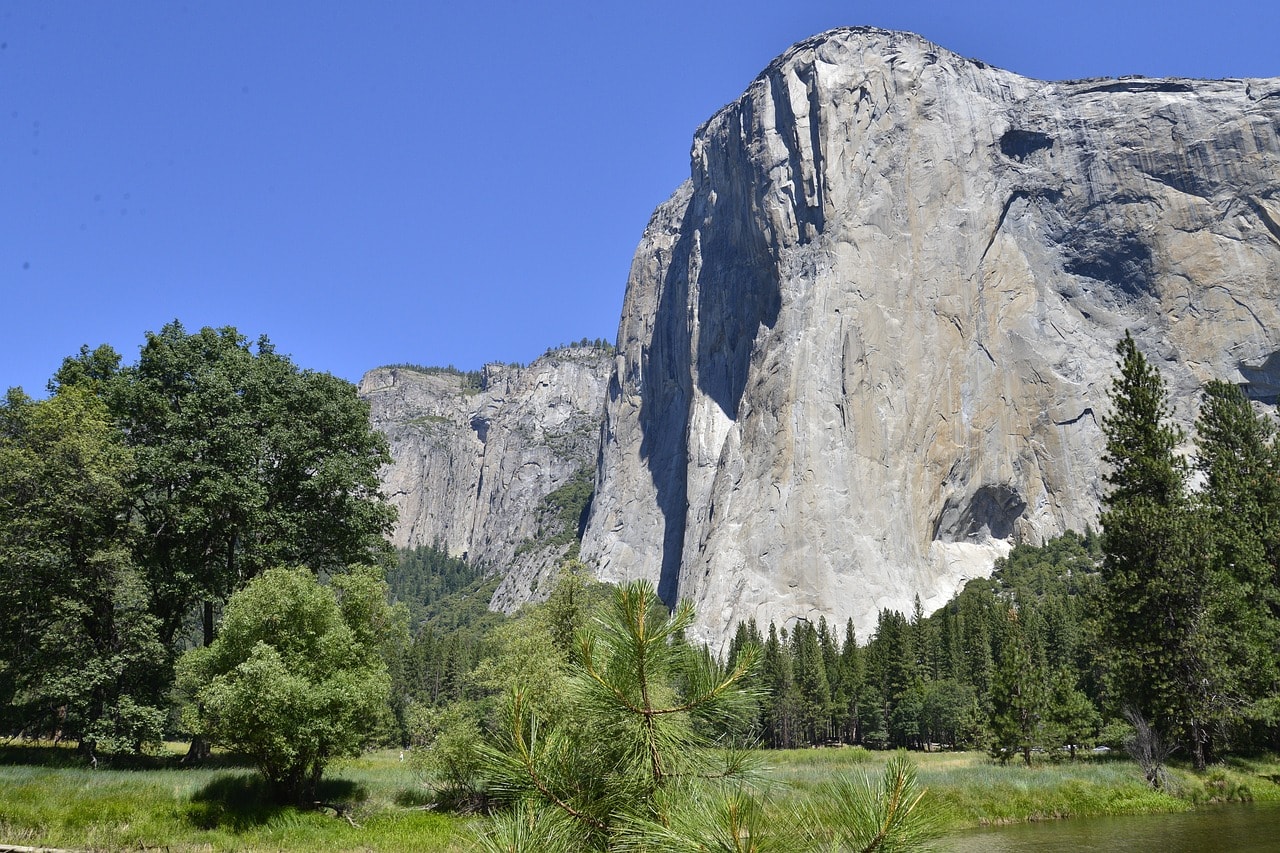
2. El Capitan
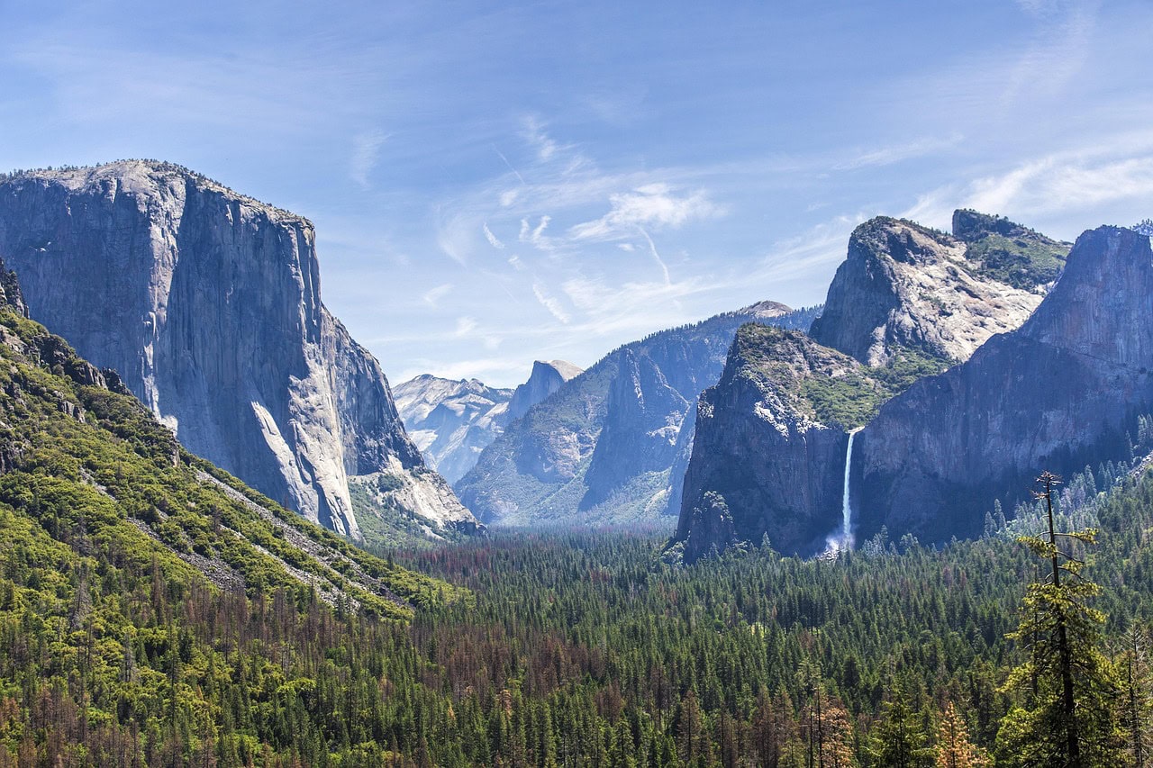
El Capitan towers over Yosemite Valley from the north. This unique and stunning rock has become one of the most recognized symbols of the park. It is a granite monolith (a massive mountain-sized rock) standing 914 meters above the valley. You can climb El Capitan from its moderately inclined north side, offering a challenging but very popular adventure.
El Capitan has become a must-visit for alpinists attempting to conquer its intense southern slope. This massive cliff has become a challenge for professionals only. Viewing points of El Capitan are from Northside Drive (the road north of the Merced River) and El Capitan Meadow.
3. Horsetail Fall or the Firefall
Horsetail Fall or the Firefall (only in February) is one of the most special spots in Yosemite Park. This seasonal waterfall is active only in winter and early spring, on the eastern side of El Capitan. The water drops in two closely parallel falls with a height of about 500 meters, but it requires a lot of snowmelt or rainfall to have water flow through them.
If there is enough precipitation, on a few days at the end of winter at sunset (mid-February), an illusion of flowing fire is created from the sun's reflection on the waterfall. This phenomenon has gained much fame and turned the falls into a unique attraction for those who dare to visit the area in the cold season (mid-February). The Firefall is one of the most photographed icons in the park and has become a popular phenomenon.
4. Bridalveil Fall
The Bridalveil Fall is one of the most famous and popular waterfalls in Yosemite Park. It flows on the southern part of the glacial valley and drops from a height of almost 200 meters. Because of its soft and continuous water appearance, it got its name, as it resembles a bride's veil. The best scenic views of the waterfall are along the trail named after it, which is one of the most popular trails in the park. You can park your car at the Bridalveil Falls Trailhead and walk along the path beneath the waterfall.

5. Vernal Falls
Vernal Falls is located at the upper part of the Merced River. It is the most torrent of all Yosemite waterfalls, standing about a hundred meters tall. The waterfall is the highlight of the Mist Trail, one of the gentlest and most beautiful trails in Yosemite and, therefore, one of the busiest and most popular in the park. The trail is about 2 kilometers long, with a gentle ascent along the river's path up to the fall. At the top of the waterfall is an exposed granite platform that serves as an observation deck as if made to order.
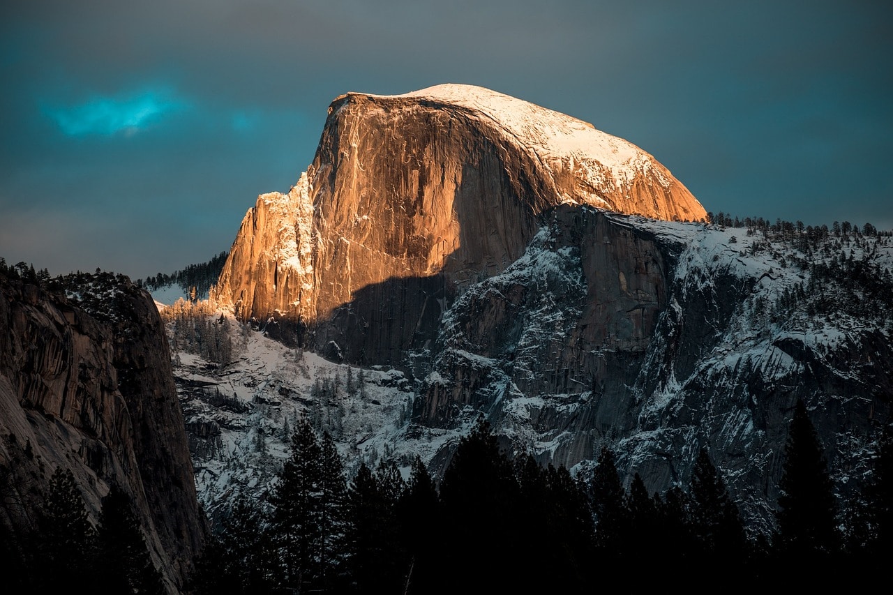
6. Half Dome
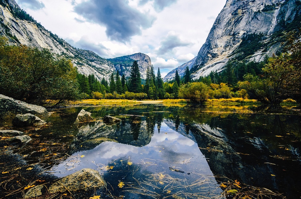
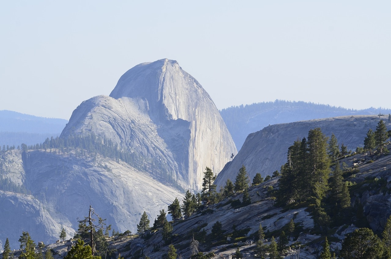
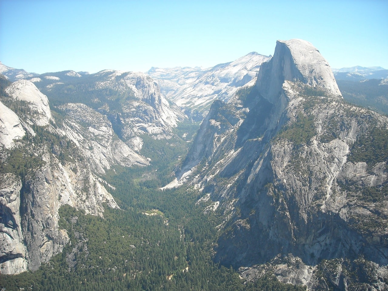
One of the most beautiful mountain peaks in Yosemite Park is the Half Dome. The peak is located in the western part of Yosemite Valley, overlooking the park's most touristy area. You can reach the peak via the challenging Half Dome Trail, which starts from the Vernal Falls on the Merced River and climbs the mountain's southern shoulder. To the north of the peak flows the Tenaya Creek, where you'll also find Mirror Lake, a stunning alpine pool area.
The mountain is mostly composed of quartz monzonite rock, with an overall height of 2,700 meters above sea level, stretching approximately 400 meters above the valley. It is called Half Dome because its western side facing the valley is broken (eroded by the glacier melt), leaving a half dome. The other parts of the peak are smooth, exposed rock. The best scenic view of the peak is from Washburn Point, which is accessible by car.
7. Sentinel Dome
The Sentinel Dome is a large granite monolith located in the southern part of Yosemite Valley. It stands about 2500 meters above sea level and approximately 100 meters above its surroundings. It is a dome-shaped monolith and is accessible via a five-hour hike (each way!!) starting from the Artist Point Trail in the southern part of the park off Wawona Road. The summit offers perfect panoramic views in all directions and is considered one of the most breathtaking lookout points in Yosemite Park.
8. Clouds Rest
The summit of Clouds Rest is situated in the eastern section of Yosemite Valley, slightly east of Half Dome. The peak's elevation is over 3000 meters and it is considered among the most challenging trails in the park. It can be approached via trails originating from Little Yosemite Valley (the southern glacial valley in the upper part of the Merced River), on the Cloud's Rest Trailhead, which is approximately 12 kilometers long.
The longer route runs along the Sunrise Creek mountain stream, reaching the summit from the east via the John Muir Trail, or opting for a more intense climb to reach the peak from the west via the Sunrise Lakes Trailhead. The second trail continues east from the summit towards Tioga Pass.
9. Basket Dome Ridge and North Dome
Basket Dome and North Dome are two granite dome-shaped peaks dominating the northeastern part of Yosemite Valley. The peaks rise to just under 2,500 meters. You can access the ridge via the Snow Creek Trail, a mountainous path leading to Tioga Road. The trail runs north of the ridge with an ascent to the North Dome.
10. Glacier Point
Glacier Point is a stunning viewpoint located at an elevation of 2,200 meters above sea level, accessible by car. You can park at the Glacier Point Trailhead and reach the organized point from where there's an amazing view of the entire park. Glacier Point is accessible from the south via Glacier Point Rd, a road that connects to Wawona Rd southwest of the park. The turn to Glacier Point Rd is south of Yosemite Valley, and there's no access to the valley roads from this point, which means you need to return all the way down towards Wawona.
All Attractions at Tuolumne Meadows in Yosemite National Park
Tuolumne Meadows
The plains of the Tuolumne River make up the northwestern part of Yosemite Park. The area is intersected by the convenient Tioga Road via Tioga Pass towards Mono Lake at the park's easternmost edge. Unlike the intense Yosemite Valley slightly to the south, this is more of a place for a scenic drive. The average elevation of the plains is about 8,200 feet, with plenty of creeks, streams, and several impressive dome peaks, exposed granite monolith domes. In the northern part lies the Mount Conness Range, with Mount Conness towering at around 12,500 feet.
Cathedral Peak
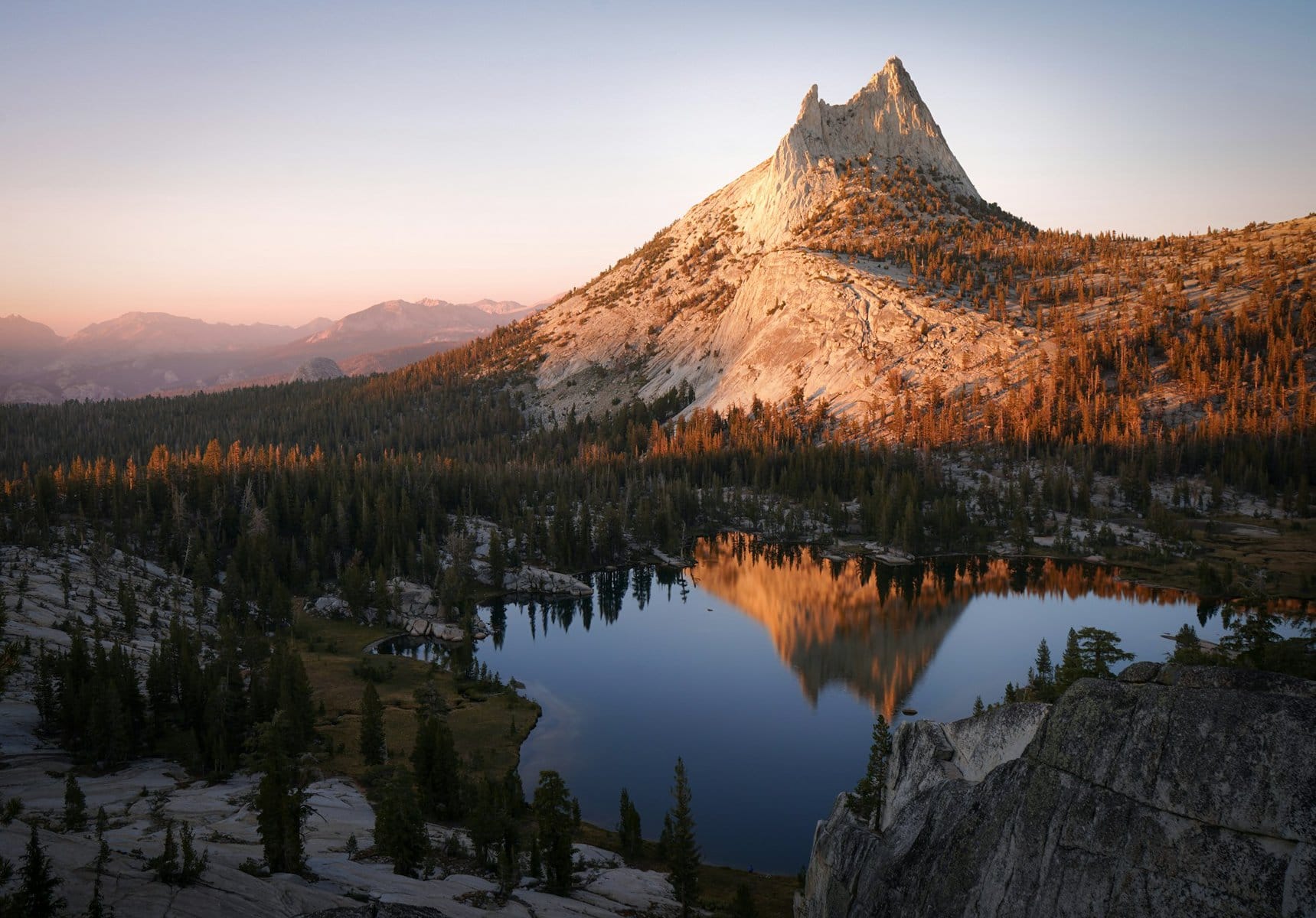
Cathedral Peak is one of the most recognized peaks in the northern part of Yosemite Park. The peak stands about 3,300 meters above sea level and roughly 800 meters above the alpine plains below. It is accessible from the Tioga Road that crosses the Tuolumne Meadows. The peak can be reached from the John Muir Trail, which connects Yosemite Valley with Tuolumne Meadows by hiking. It is named after the unique spire-like peaks at its summit. Below the peak is the Lower Cathedral Lake and nearby is the popular Tenaya Lake.
O'Shaughnessy Dam
O'Shaughnessy Dam is one of the popular tourist spots in the northern part of Yosemite Park. The dam was built in 1923 as part of the massive water project that supplies the taps of the San Francisco Bay Area cities. The concrete dam stands about 130 meters tall, and the entire area around it and the Hetch Hetchy Reservoir, created by damming the Tuolumne River, is filled with camping sites and beautiful hiking trails.
Lundy Canyon
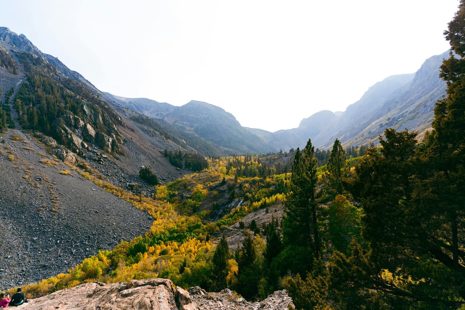
Lundy Canyon is located on the eastern slopes of the Mount Conness range, heading towards Mono Lake. Along the mountainous course of Mill Creek, the scenic Lundy Lake Road runs up the canyon, providing access almost to the peak. Around Lundy Lake, nestled in the heart of the canyon, you'll find plenty of camping sites and trailheads for hiking paths leading up the ravine. At the upper reaches of the canyon are the Lundy Canyon Waterfalls, which can only be reached via fairly challenging trails.
Mono Lake
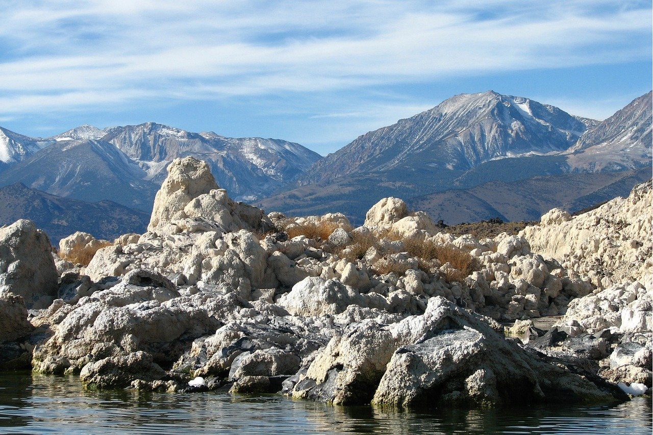
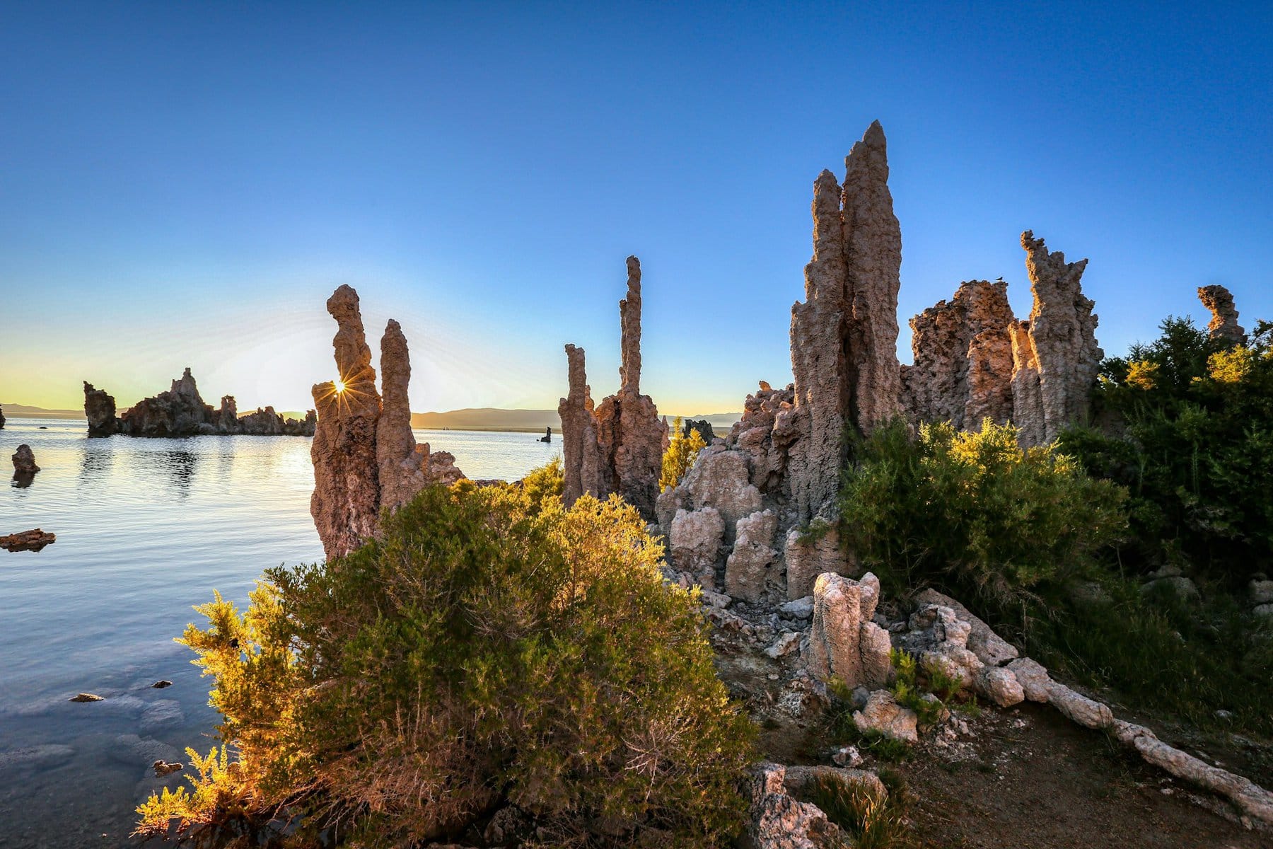
Mono Lake is a saline lake, classified as a soda or alkaline lake. It was formed from water accumulations nearly a million years ago and has high salinity, giving the water its basic composition. On the lake's shores, you'll encounter geological formations known as Tufa Towers, created by the saltiness and weathering of the rock. In the heart of the lake lies the large island of Paoha. The lake is situated in the lower part of the region, east of Tioga Pass and east of Yosemite Park.
Mammoth Mountain
The massive Mammoth Mountain ski resort is located just a half-hour drive south of Mono Lake. The salty lake and the mountain are separated by the Inyo National Forest. The huge Mammoth Lakes ski resort is a bustling town during ski season with popular and luxurious resorts. About seven thousand permanent residents live in the town, and its population doubles during the ski season. Cable cars ascend from the town to the extensive ski complex on the mountain's summit. The peak of Mammoth Mountain is approximately 3,370 meters above sea level. It's one of the largest and most prestigious ski resorts in the Sierra Nevada range.