Get Ready for an Epic Adventure at Death Valley National Park
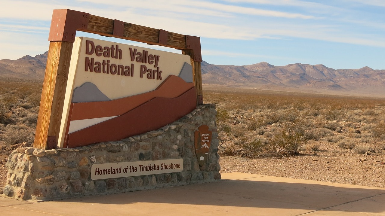
Death Valley National Park is one of the most unique parks to visit in the entire United States. The park is located just beyond the Nevada border in eastern California, about a two-hour drive from Las Vegas. It's an extreme rain shadow desert and considered the hottest place on Earth. It's also the lowest point in the Western Hemisphere. In Death Valley, there are unique trails over the salt flats of a lake dried by the blazing sun, paths climbing through desert canyons, special geological formations, and an extreme desert atmosphere.

How to explore Death Valley in California?
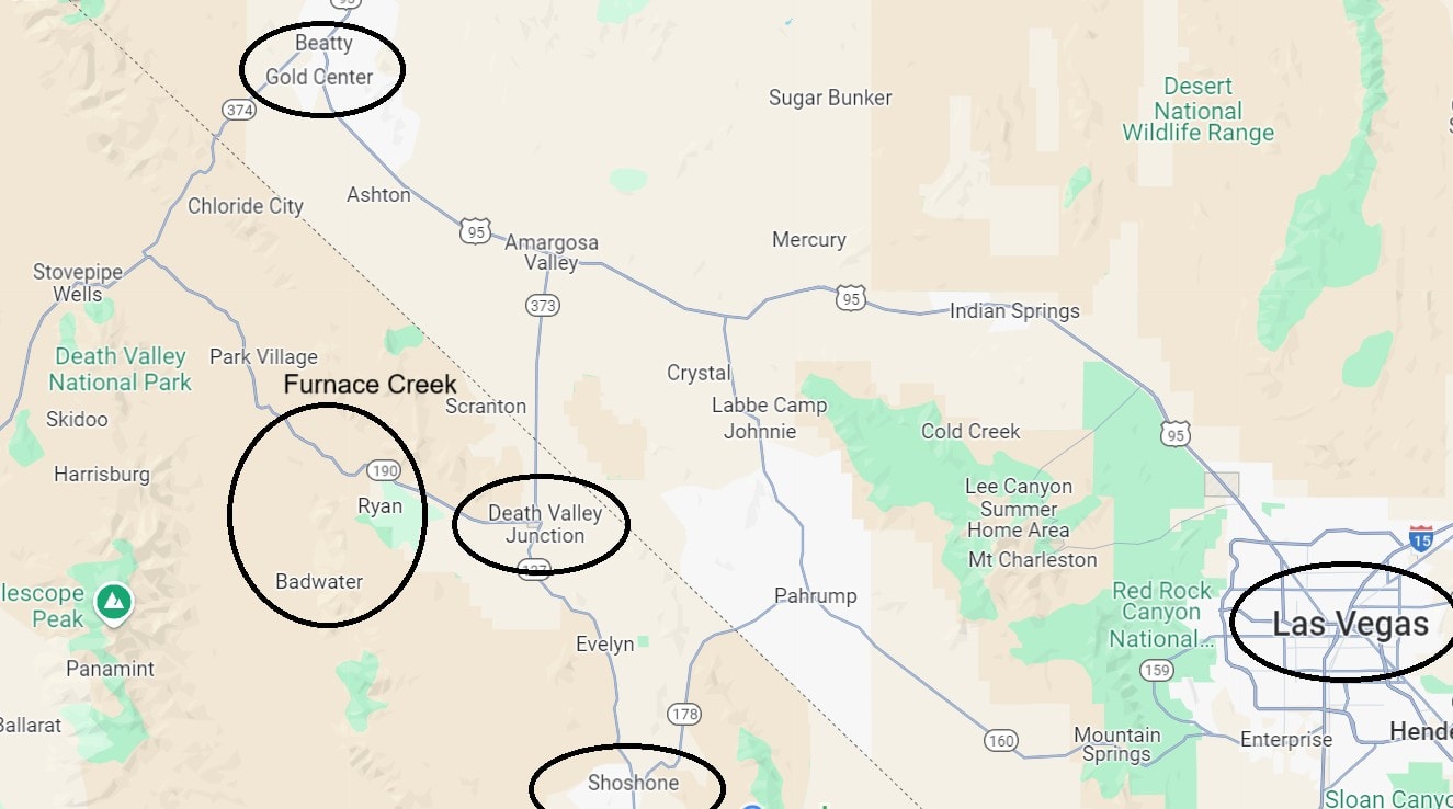
The trip to Death Valley is from October to April. From May to September, the temperatures in the valley are extremely hot, so the tour is only in an air-conditioned vehicle with short stops (a hat and sunglasses are a must at the viewpoints). The central point of the trip in Death Valley is the Furnace Creek Visitor Center (the Furnace Creek for illustration purposes), from which Badwater Road heads south, along which most of the points of interest in the national park are located.
In this area, the trip is divided between hiking trails that rise to points in the Amargosa Range and go into dry stream channels and climbing onto the salt flats of the dried lake. There are also points of interest slightly north of the visitor center, including the dunes and hiking trails up channels and unique attractions in the northern part of the valley, which are mostly accessible by car.
Click here for all the information on car rental in the USA + useful tips and significant discounts…
How many days should you spend in Death Valley National Park?
For visiting Death Valley, it’s recommended to spend a whole day in the southern part and an additional half day near Scotty’s Castle. You can also explore the entire valley in one intensive day trip.
The starting point towards the park is usually from Las Vegas
Click here to check availability and prices for hotels in Las Vegas…
Click here for a day trip from Las Vegas to Death Valley…
If you're planning a two-day trip, it's best to find accommodation near the national park
Click here to check availability and prices for motels near Death Valley…
12 Must-See and Do Things in Death Valley
- Get a prime view of the inferno at Dante’s View
- Cross the valley on Badwater Road
- Walk on water at Devils Golf Course
- Stroll on the salt at Badwater Salt Flats
- Cool off at Furnace Creek Visitor Center
- Hike up the canyon on Golden Canyon Trail
- Hike up to the Natural Bridge
- The colorful rock formations of Artists Palette
- The wind paints on the sand at Mesquite Flat Sand Dunes
- Scotty's Castle Visitor Center
- The stunning view of Ubehebe Crater
- The moving rocks of Racetrack Playa
What is Death Valley National Park in California?
Death Valley is one of the most extreme and famous national parks in the USA. The national park is located in the eastern part of California, just across the border from Nevada. The major city closest to the park is Las Vegas, only a two-hour drive from the heart of the park – Death Valley.
Death Valley is situated in the northern part of the Mojave Desert at the boundary with what is called the Great Basin Desert covering all of Nevada. The giant rain shadow desert is not far from the eastern slopes of the Sierra Nevada mountain range, which blocks the movement of clouds and creates the dry rain shadow desert. The valleys were once, millions of years ago, drainage basins of lakes that dried up, leaving behind the salt layers on the surface.
Click here to download a self-guided tour app of Death Valley…
The national park holds several important records:
- The park's valleys are below sea level. Badwater Basin is the lowest point in the U.S. and all of North America, standing 86 meters below sea level. Mount Whitney, the highest point in the U.S. (excluding Alaska), is located just 130 kilometers west of the park.
- This is the hottest place on earth (in summer; in winter, it's quite pleasant), and it recorded the highest temperature ever measured on Earth (nearly 57 degrees Celsius in 1913).
- This is the driest place in North America (and the second driest in the Americas and worldwide) with an unbelievably low average rainfall of 16 mm per year.
- This is the largest national park by area in the contiguous United States (excluding Alaska).
The park area includes ridges forming four extremely arid desert valleys:
- Death Valley
- Saline Valley
- Panamint Valley
- Eureka Valley
The main attraction in the park is, of course, Death Valley, one of the strangest places on Earth.
Map of Death Valley National Park in California
How to get to Death Valley in Southeastern California?
How to get to Death Valley by flight?
Harry Reid International Airport (LAS) in Las Vegas – The Las Vegas airport is located right next to the Strip, Paradise's hotel corridor, widely recognized as Vegas itself. Previously known as McCarran International Airport, it was renamed in 2021.
This is one of the busiest airports in the USA, entirely dedicated, year-round, to access to the City of Sin and the city's touristic functions. It is connected with nearly all airports in the USA and Canada, both large and regional.
There are several routes reaching the airport, including from major airports in Europe, making it easy to fly in from London or Amsterdam, for example. The travel time from the airport to Death Valley National Park is about two hours.
How to get to Death Valley National Park by car?
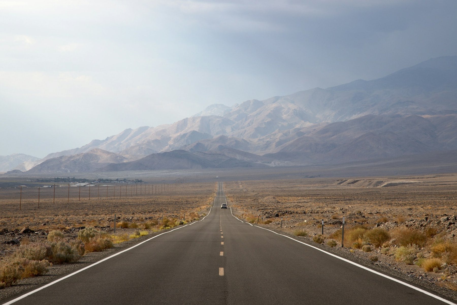
The drive to Death Valley National Park by car is westbound from Las Vegas on Desert Highway 95. The road connects with I-15 in downtown Las Vegas, north of the Strip. It's a spectacularly empty desert road with few settlements along the way (and not too many gas stations, so it's best to hit the road with a full tank).
From Highway 95, you can enter the park via the town of Beatty to the north or turn earlier to Highway 127 at Death Valley Junction. From there, head into the valleys on Highway 190 straight to Furnace Creek, the park's logistics hub. Access to the park is also possible from Los Angeles with a drive time of three and a half hours.
Click here for all the information on car rentals in Las Vegas and Nevada…

When to visit Death Valley?
Death Valley is not a friendly place during the summer months, as the average temperature is at least 40 degrees Celsius. In July and August, temperatures can soar up to 50 degrees. It's really tough to hike in the valley during summer and if you do visit, don't leave the car (enter the park with a full tank).
- The best season to visit Death Valley is winter. In winter, daytime temperatures are around 20 degrees, allowing you to enjoy the valley in the most fun way possible. It can also be cold or even freezing in winter, but since it's always dry, it doesn't really interfere with hiking.
- From April, temperatures in the park are already warm to hot, and even from spring you need to decide whether you want to go on a little hike or just drive around.
- The park’s terrible heat lasts until October, but from November to February you can enjoy hiking there.
Everything You Need to Know About Lodging Near Death Valley
A large portion of visitors to Death Valley come for a day trip from Las Vegas. The big gambling city is just over a two-hour drive from the park, and such a day trip focuses mainly on driving along the Badwater Road. A tour like this can be sufficient, but for those who want to explore the stunning northern part of the valley, it's definitely worth finding a nearby place to stay.
Click here to check availability and prices for hotels in Las Vegas…
- Staying within the park area includes several lodge hotels near the Furnace Creek Visitor Center. The lodges are good hotels right in the heart of the park, such as The Inn at Death Valley and The Ranch at Death Valley. These two hotels are great for stays, especially during the winter season, and they're highly sought after, especially The Inn, which is considered superior. Staying right in the heart of Death Valley is an especially spectacular experience and worth the investment.
- The best base for lodging near the park is the relatively large town of Beatty. In Beatty, there's a range of motels and hotels serving the tourist flow to the park, located less than an hour's drive from Furnace Creek. You'll also find a few shops and restaurants here and there in town.
- There are also decent motels in the towns east of the national park area, such as Shoshone or Pahrump. These are small desert settlements with some typical motels.
Click here to check availability and prices for motels near Death Valley…
Map of Accommodations Near Death Valley
How to Plan a Trip in Death Valley National Park
Death Valley National Park is roughly divided into four sections:
- Scenic views from the Amargosa Range on the way to Furnace Creek Visitor Center
- The park's highlight – Badwater Basin and the trails above it
- Mesquite Flats north of Furnace Creek Visitor Center
- The northern edge of Death Valley
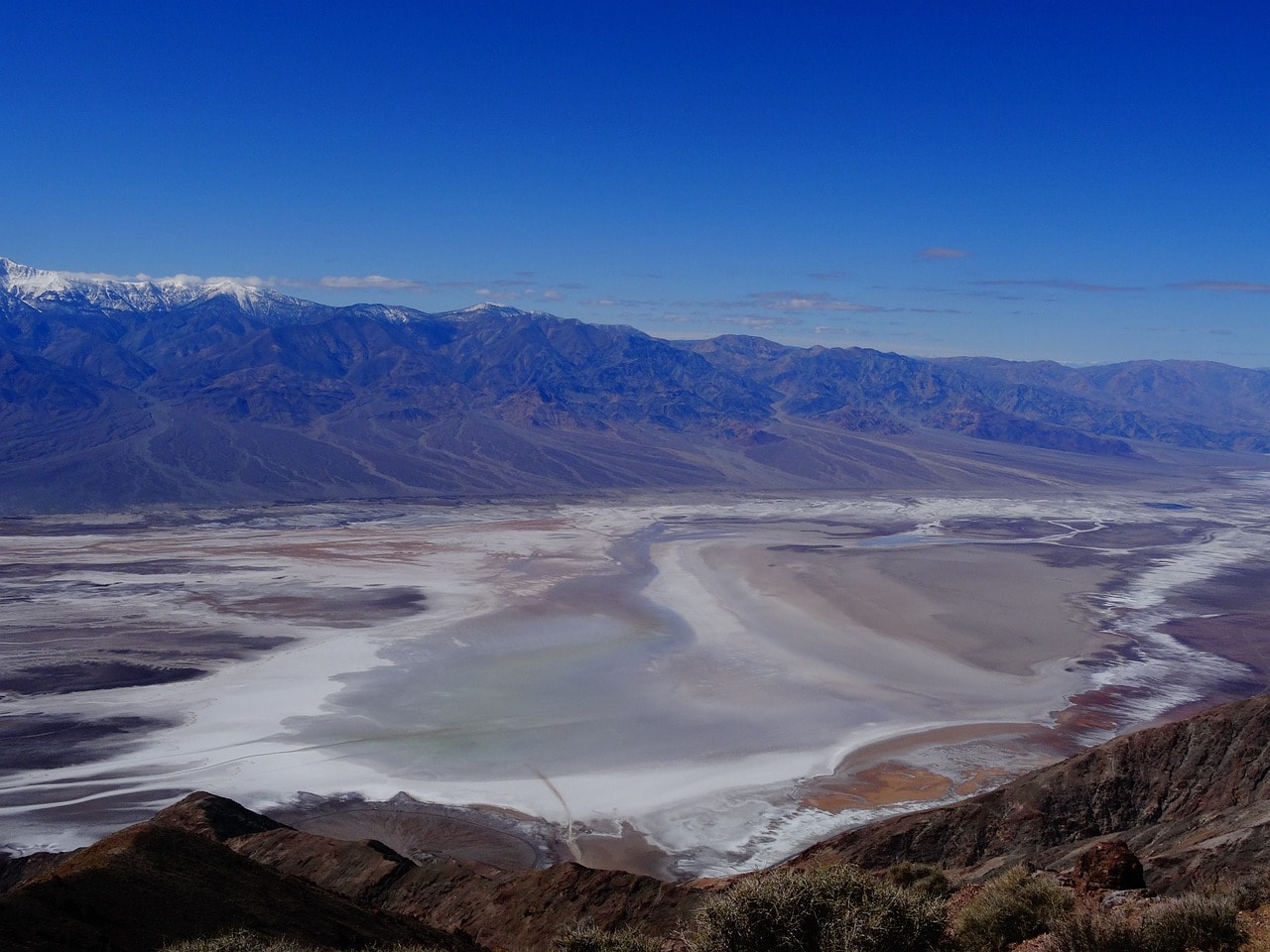
The most popular part of the park is located south of the Furnace Creek Visitor Center. Badwater Basin is the heart of the national park, but even before reaching it, you can stop at scenic overlooks right above it from the eastern ridge.
- On the way to the visitor center, you must stop at the breathtaking Dante's View, offering views over the salt flats and above the Panamint Range and the towering Telescope Peak. Also, make a short stop at Zabriskie Point just a bit further on.
- The heart of the park is the Furnace Creek Visitor Center. From the visitor center, head south on Badwater Road, which is actually the most popular and interesting part of the park
- Along the way south, the Golden Canyon Trail hiking path climbs on the Amargosa Range, and further along is the road ascending to the Artist's Palette
- Just a bit south lies the Badwater Basin drainage area, a vast salt flat that drains floodwaters when there’s a bit of rain. This salt flat is the most popular spot in the park, featuring the Salt Flat Trail, Devil's Golf Course, and the Badwater Salt Flats.
- Between the two salt trails, the popular Natural Bridge Trail climbs up the ridge to the beautiful natural arch.
The trip north from the Furnace Creek Visitor Center mainly includes a stop at the stunning Mesquite Flat Sand Dunes. Nearby, there’s also the Mosaic Canyon hiking trail and the beautiful oasis of Darwin Falls up the ridge westward.
Further north on the North Highway, the road reaches the northern visitor center of the park at Scotty’s Castle. Next to the visitor center is the striking Ubehebe Crater, and further westward lies the Racetrack Playa, the unique dry lake where rocks mysteriously move.
Everything to See and Do in Death Valley
Dante's View
Dante's View is often the first taste of Death Valley National Park. Named after the Florentine author who wrote about the Inferno (had he only known about Death Valley), the viewpoint is accessible via a road that crosses the Amargosa Range to the western edge overlooking Death Valley itself and the salt flats of the Badwater Basin. From this stunning viewpoint, you can see the famous salt flats of Death Valley, which are also the lowest point in the Western Hemisphere. It's a must-stop spot and the perfect place to capture the panoramic view of Death Valley.
For those who don’t want to settle with the stunning view from the parking lot, you can take the trail climbing to Dantes Peak Summit for a better view of the salt flats. The trail is half a kilometer long and is often not climbed because the view from the parking lot is nearly the same.
Zabriskie Point
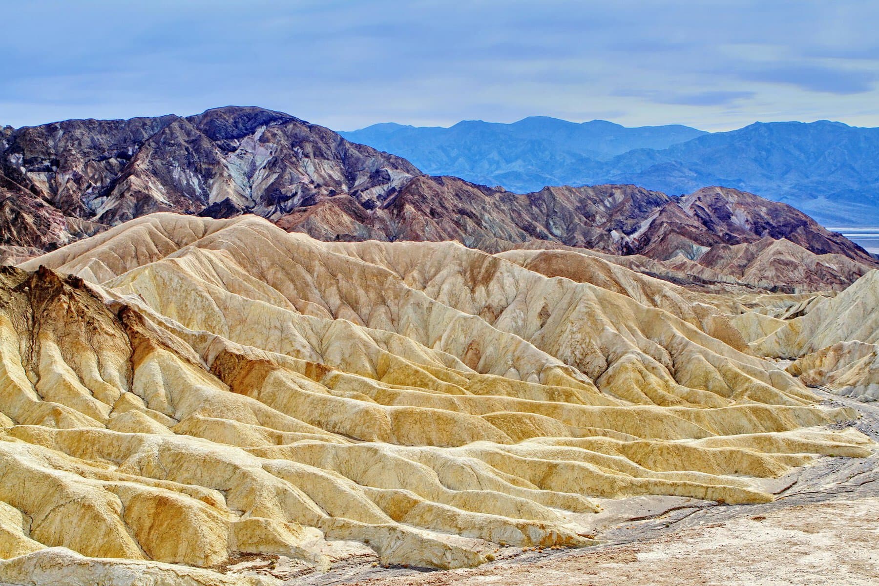
About a 15-minute drive from the turn for Dante's View on Highway 190 is Zabriskie Point. This viewpoint is typically the second stop in the national park for those coming from Las Vegas (or the third if you're driving a 4×4 and take the mountain trail Twenty Mule Team Canyon). There's a large parking area off Highway 90 and a moderate incline of a few minutes to reach the viewpoint. From the viewpoint, you can see the erosion of the Amargosa Range and Death Valley itself peeking between the peaks.
Furnace Creek Visitor Center
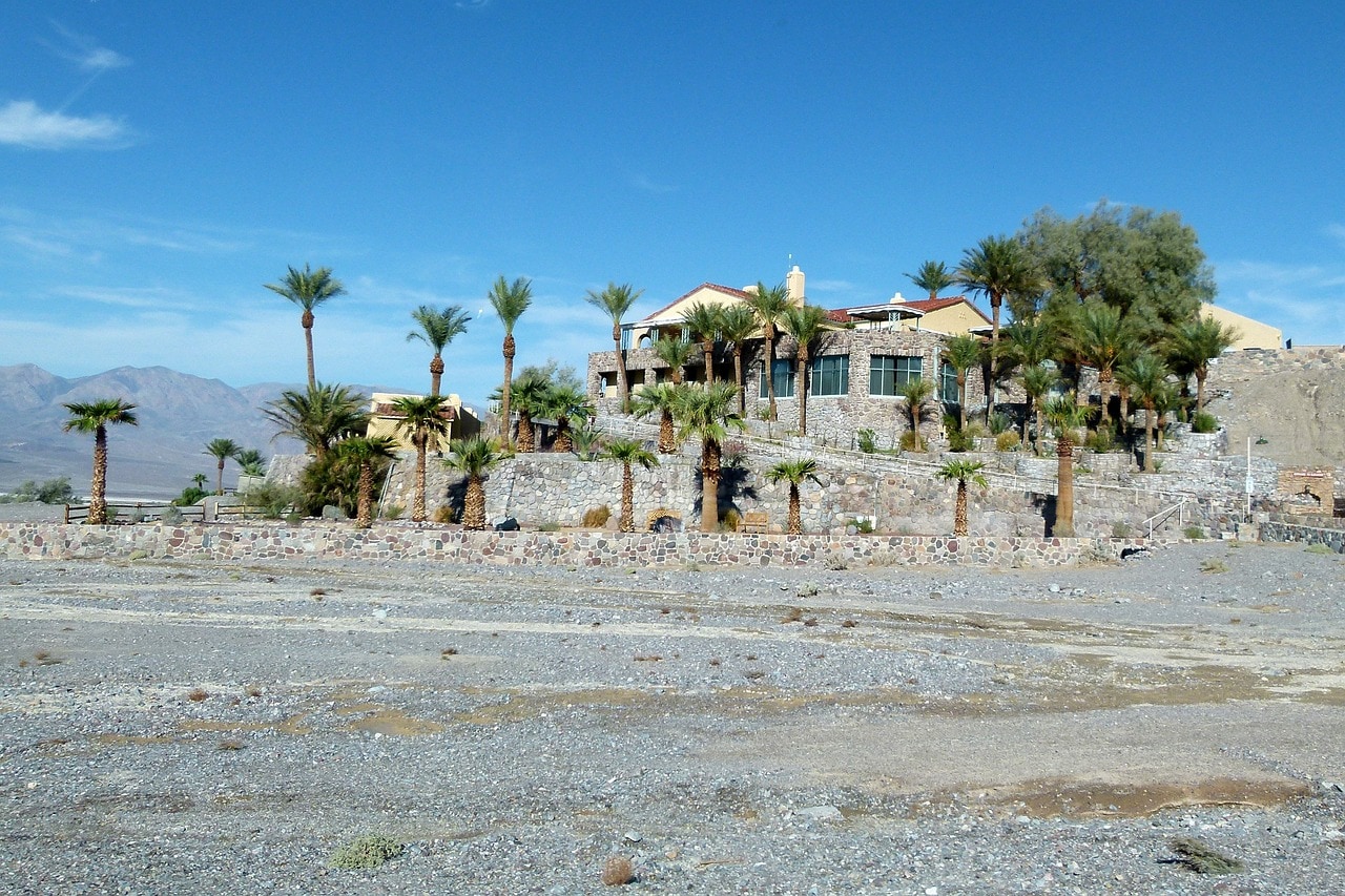
The Furnace Creek Visitor Center is among the few human-made structures in the endless wilderness of the extreme desert. It's the logistical center of the park, which, besides the visitor center, also includes lodges for accommodation, an RV park, a restaurant, and even a unique and large golf course.
The visitor center itself is the spot to seamlessly enter the scenic roads of the national park, to get the necessary information from the park authorities, and also to learn a lot about the place. The visitor center features a small museum display, films about the park, and everything you need to smoothly slip into Death Valley.
Badwater Road
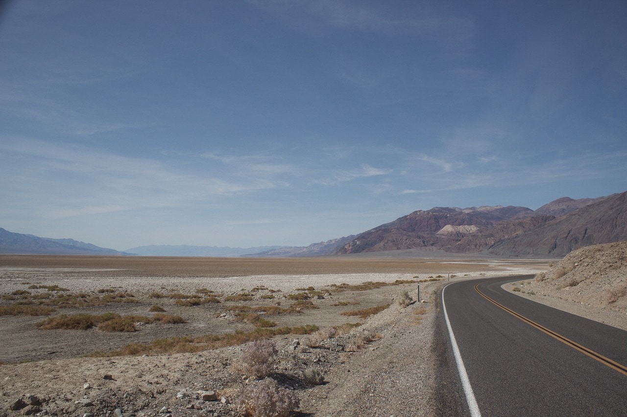
Just a two-minute drive south from the Furnace Creek Visitor Center, facing the nothingness of Death Valley, the Badwater Road descends south from Route 190. This is the most attractive road in Death Valley, and along it are the main attractions of the valley itself (there are more attractions in the other valleys of the park).
The orderly road runs along the eastern side of the valley towards Badwater Lake, on the slopes of the Amargosa Range. Along the way, you can see the stunning view of the Panamint Range blocking the valley from the west and the massive Telescope Peak soaring to a height of 3,366 meters above sea level (plus 84 meters above Badwater Basin). The range and the peak are often snow-capped at the top, offering a striking contrast to the scorching valley.
At the turn, there's a sign indicating sea level. When heading south, the road gently descends to the basin itself, which is 84 meters below sea level. It's the lowest point in North America. Before reaching the iconic salt flats of the basin, there are several stops, with the Artist's Palette hike being a highlight. There are also breathtaking and popular hiking trails climbing the range.
The Golden Canyon Trail
The Golden Canyon Trail is one of the most popular hiking trails in Death Valley National Park. It starts from the trailhead on Badwater Road, a five-minute drive south of the Visitors Center. This is a moderate trail that climbs the western slopes of the Amargosa Range, passing through an ancient stream channel.
The trail ascends to the Red Cathedral summit, offering a breathtaking view of Manly Beacon, a weathered cliff of more resistant rock standing as a mesa at the ridge top. The roundtrip length of the trail is about 4.5 kilometers and it is considered relatively easy.
If you want to continue exploring the area, you can take the path beneath Manly Beacon towards Zabriskie Point on the eastern slopes of the valley and descend again towards the vehicle via the dry canyon of Gower Gulch. Those with an off-road vehicle can also ascend the Desolation Canyon Trail a bit further south.
Click here for all the official information about the hiking trail and map…
Artists Palette & Artists Drive
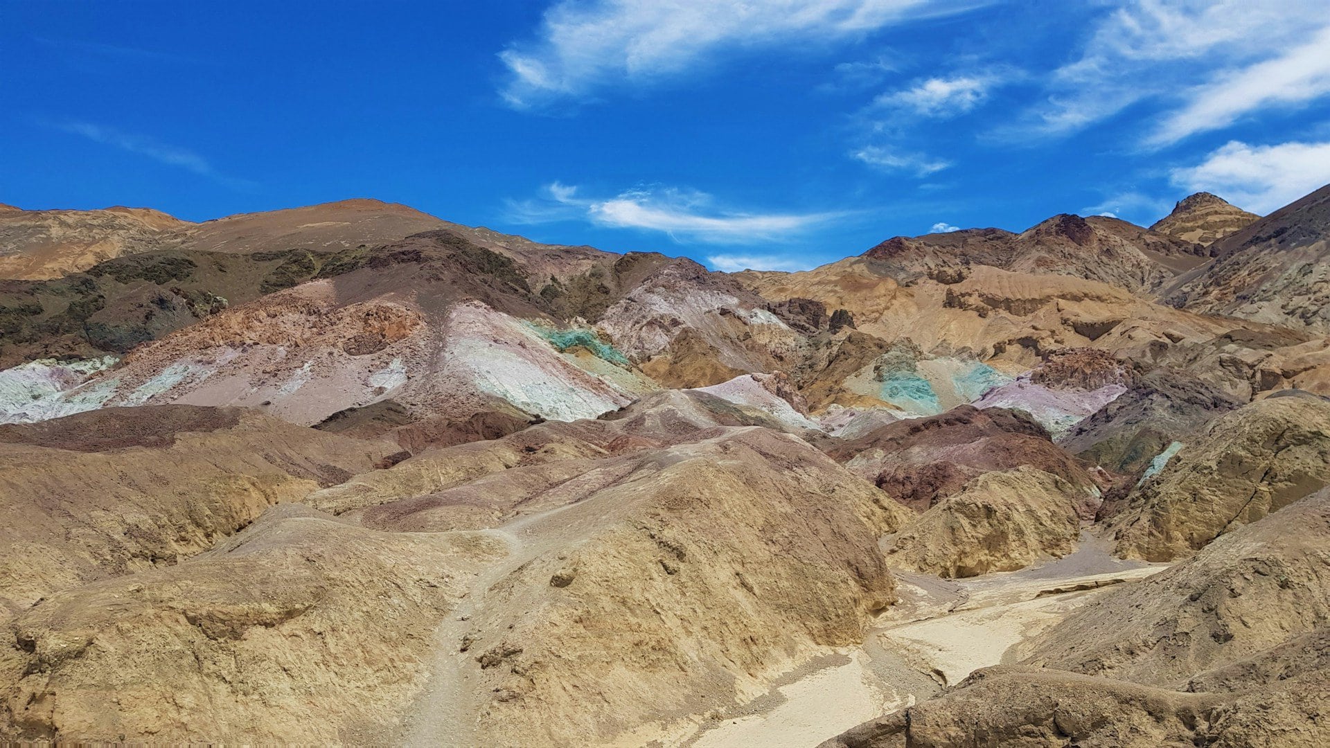
Artists Drive is a scenic road that winds up the Amargosa Range to one of Death Valley's most famous and popular viewpoints. There's a turnoff from Badwater Drive that's a ten-minute drive south from the Golden Canyon trailhead parking. The road is circular and loops back to Badwater Road south, not far from the Devil's Golf Course and the salt flats.
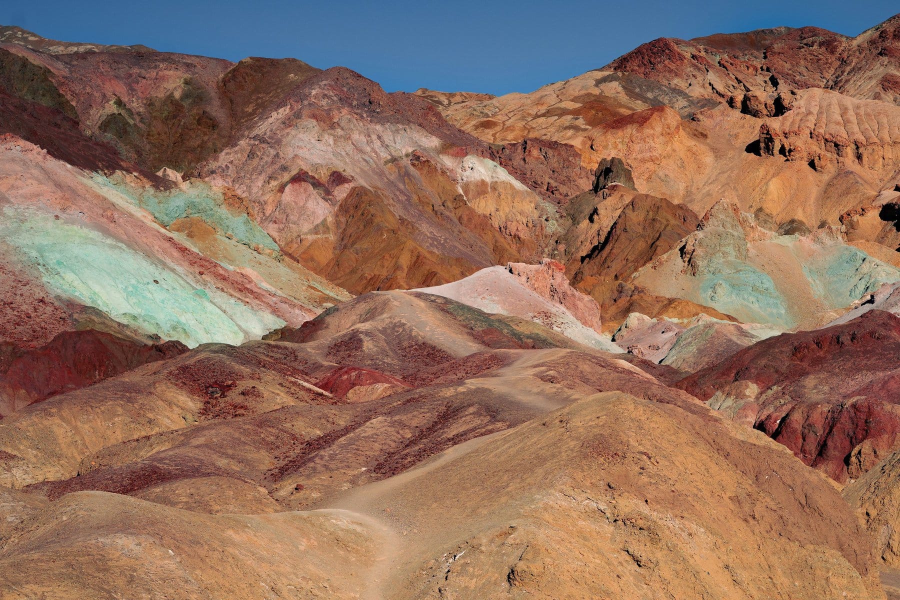
True to its name, Artists Palette features all the colors of the rocks blended together across the slopes. This is a geological wonder based on ancient volcanic activity that led to various rock types colored in sulfuric yellows, rocks with concentrations of iron or other metals in stunning shades of yellow, red, and blue.
Due to the accessible ridge, it's one of the busiest spots in the national park (even in peak season, during winter, the park is never really crowded, certainly not compared to other national parks in the Colorado River Basin).
Badwater Basin
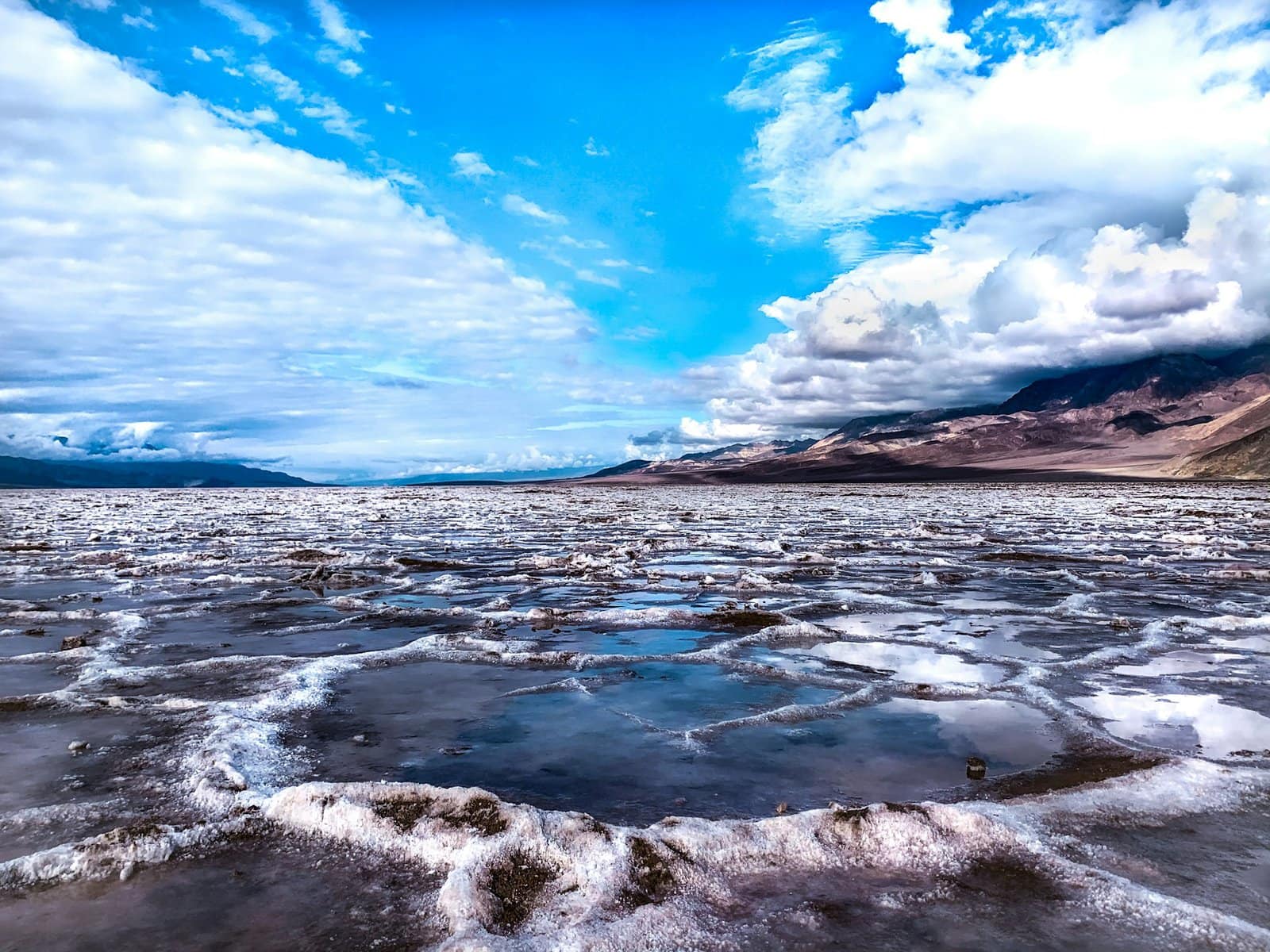
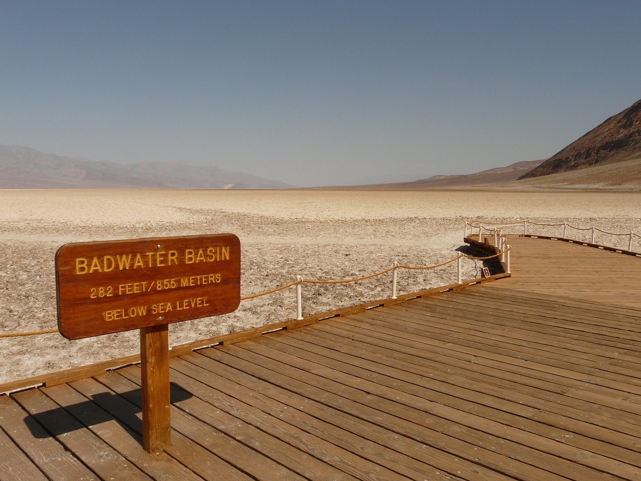
Badwater Basin is the lowest point in the USA and the entire Western Hemisphere. The salt flats' elevation is about 84 meters below sea level. This is the drainage basin of Death Valley, where all the stream waters flow when (if and when) a little rain falls in the valley (which doesn't happen often). The basin is an extreme salt flat (much saltier than the Dead Sea), and at its fullest, the water doesn't rise above half a meter.
There's a chance for significant water accumulation only in the fall and winter, in the spring and summer, if it rains, the water evaporates very quickly under the extreme sun. Badwater Basin is the highlight of a visit to Death Valley and its most iconic location. It's a must-see site, and everyone visiting the national park stops here.
Devils Golf Course
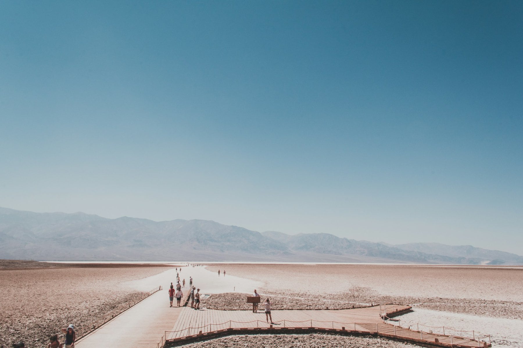
Descending from Artist Drive back to Badwater Drive, after a few minutes heading south, you'll reach the Badwater Basin. In the northern part of the basin, there is a unique site called the Devil's Golf Course. It's actually a salt trail created by humans, allowing access into the shallow (and sometimes dry) saltwater lake – the Badwater.
The lake is a salt flat that drains rainwater in the valley (when there is any) until the waters evaporate under the scorching sun. Sometimes, therefore, the trail known as Salt Pool Road is covered with a few centimeters of water, and you can walk on it with sandals. When it's dry, you can drive on it with an off-road vehicle. It's best to visit the trail when there's water, as it's much more impressive then. The walk takes you hundreds of meters deep into the drainage area of the salt flat, offering the most intimate way to experience the breathtaking view of Death Valley.
Badwater Salt Flats
The Salt Flats are the salt plains of the Badwater Basin. The plain is actually an ancient salt flat elevated above the drainage area and is always accessible by foot from the road. It's possible to walk deep into the drainage basin even if it's flooded. This natural walking path offers a surreal and stunning experience. You can walk all the way to the middle of what was once, and a long time ago, the lake.
You can continue south from the Salt Flats on Badwater Road to the Ashford Mill Ruins. From there, take Highway 178 out of the park through the ridge to the oasis and the village of Shoshone.
The Natural Bridge Trail
The Natural Arch trail is located above the Amargosa Range's watershed basin. Access to the trailhead is via a dirt road turning left just a minute's drive south from the Devil's Golf Course. The road is accessible for private vehicles and reaches right up to the ridge's edge. To reach the stunning natural arch, you need to hike up the dry channel about a mile and a half from the trailhead. This natural arch was carved by floodwaters over millions of years and the trail itself is relatively easy, making it one of the most popular in the national park.
Everything to see and do north of Furnace Creek
Mesquite Flat Sand Dunes
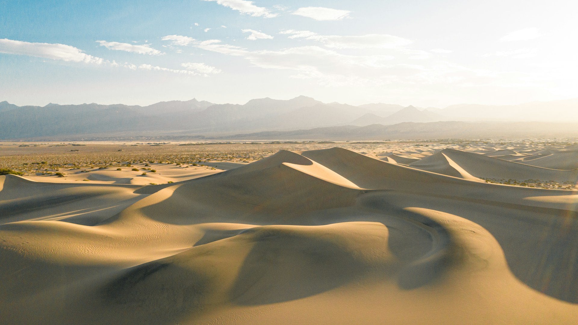
The stunning sand dunes of the Mesquite Flat Sand Dunes are just a 25-minute drive north from the Furnace Creek Visitor Center, right past the Devils Cornfield viewpoint. There is a large parking lot near Highway 190 where you can leave your car and start walking on the dunes in the flat. The experience of the dunes is similar to the experience of walking on the salt flats in the Badwater Basin. The dunes spread across the valley between the ridges, at the northern part of Death Valley, and you can walk on them until you run out of energy. It's a breathtaking and unique desert landscape that's definitely worth a stop.
Mosaic Canyon Trail
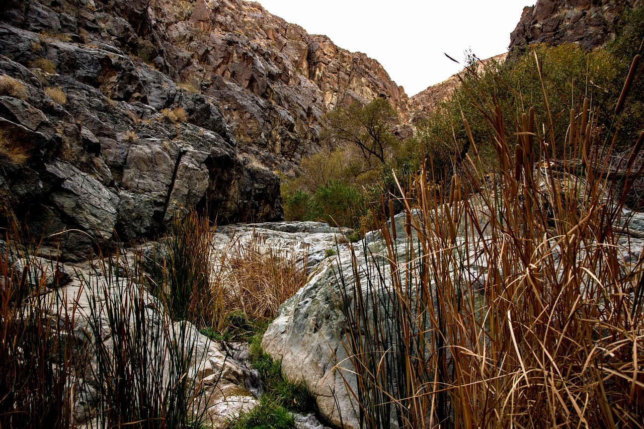
The Mosaic Canyon Trail is located a half-hour drive north from the Furnace Creek Visitor Center, in the range south of the Mesquite Flat Sand Dunes. The Mosaic Canyon Trail runs three kilometers up the stunning canyon. The trailhead is a parking area accessible by a dirt road, which can also be carefully driven by a regular car. It's a beautiful hiking trail in a channel that becomes increasingly challenging as you ascend. Most people are satisfied with walking in the lower part. The canyon has unique rock formations, and you can see the various rock layers exposed by the channel's floods.
Darwin Falls
The beautiful Darwin Falls are located an hour and a quarter drive west from Furnace Creek on Highway 190 and a ten-minute drive up the ridge from the large RV park at Panamint Springs. The trail to the falls runs along the canyon where water flows most of the year. The trail goes all the way to the beautiful waterfalls in an oasis area amidst the desert cliffs.
Scotty's Castle Visitor Center
Scotty's Castle Visitor Center overlooks the northern part of the national park above the northern end of Death Valley. This visitor center is just over an hour's drive from the Furnace Creek Visitor Center at the end of what is called the North Highway or Scotty's Castle Road.
The visitor center is located at Death Valley Ranch, a ranch built in the 1920s as a vacation home for Albert Mussey Johnson. The ranch later became the home of Walter Scott, known as Death Valley Scotty, one of the colorful figures in Buffalo Bill's legendary Wild West Show.
Ubehebe Crater
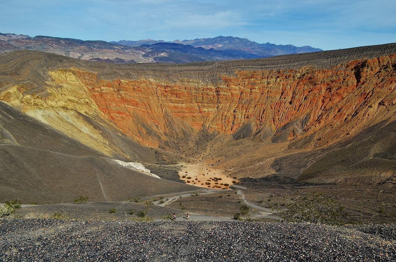
Ubehebe Crater is one of the most beautiful geological sights in Death Valley National Park. The crater is an hour and a quarter drive from the Furnace Creek Visitor Center and only a twenty-minute drive from the Scotty's Castle Visitor Center. The crater is the northernmost point of what is technically considered Death Valley. It is essentially an ancient volcanic crater (caldera) about two hundred meters deep. Right at the rim of the crater, there is a large parking lot, which is also a trailhead for the path descending into the crater. From the parking lot itself, there is a breathtaking view of the crater.
Racetrack Playa
The Racetrack Playa is a dry lake situated nearly a two-hour drive from Scotty's Castle. Even though it’s truly a remote spot, many visit just to witness the bizarre geological phenomenon of the Sailing Stones. These are large rocks that seemingly glide across the dry mud flats of the lake, leaving a clear trail behind. The reason for this sailing is a thin layer of ice during winter, allowing them to move with the wind. The lake also features the Grandstand monolith, which once was an island in the middle of the lake.