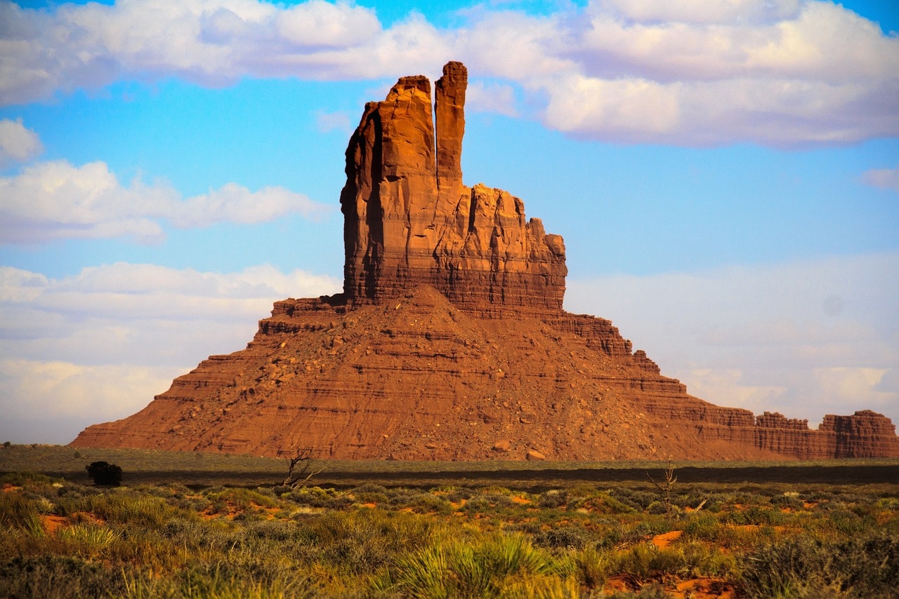
Monument Valley – The Iconic Wonder of the Navajo Nation
Monument Valley, located in the heart of the Navajo Nation's independent territory, is one of the most iconic travel destinations in the western United States. This stunningly beautiful valley has become a part of American culture mostly due to its appearances in a variety of films and westerns. The valley symbolizes the Old West more than anything else. It consists of sections of mesas and numerous small buttes, rising 200 to 350 meters above the valley floor. The unique geological formations were created by the erosion of wind and sun over millions of years. The East Mitten Butte and West Mitten Butte are the stars of the park, magnificent geological formations standing out in the open valley.

How many days are needed for a trip to Monument Valley?
A trip to Monument Valley should take a few hours up to half a day. Since the access to the valley is very challenging, it's advisable to dedicate a whole day for the trip (including the journey to and from the parks in southern Utah, the Grand Canyon in Arizona, or from Las Vegas in Nevada), with the option for an overnight stay along the way.
The drive to Monument Valley is long and exhausting, and it's definitely a good idea to find lodging near the valley.
Click here to check availability and prices for roadside hotels near Monument Valley…
What must you see and do in Monument Valley?
- The initial shock from the iconic valley at Forrest Gump Point
- Lunch with a stunning view at Monument Valley Tribal Park Visitor Center
- The breathtaking view from John Ford Point
- The Mittens and Merrick Butte viewpoint
- The loop of Route 42 among the mesas and buttes
- Three Sisters Viewpoint
How to Travel in Monument Valley?
The trip in Monument Valley is mainly based on driving along the valley's dirt roads. There are no hiking trails in the valley, and everything revolves around driving and stopping at viewpoints. Since the area beneath the mesa (flat-topped mountains) and buttes (the park's towering monoliths) is relatively flat, you can stop at many improvised roadside parking lots or designated parking areas and walk through the valley floor towards the mountains. Climbing the mountains is not allowed, except at a few accessible points (these spots are usually crowded, so you won't miss them).
Click here for a guided tour in Monument Valley with a local Navajo guide…
What is Monument Valley??
Monument Valley is one of the most iconic natural landscapes in the USA. The towering, weathered monoliths known as buttes star in top American productions, from Westerns to popular Hollywood movies. The breathtaking primordial view symbolizes more than anything else the American West, the Wild West, and the desert area.
Click here for a guided jeep tour in Monument Valley…
- The valley is located in the heart of the Navajo Nation, a semi-autonomous territory of the large indigenous tribe. It is not far from Four Corners, the square border line of Arizona to the southwest, Utah to the northwest, Colorado to the northeast, and New Mexico to the southeast.
- In the vast frontier desert territory of the Navajo Nation live about 160,000 people scattered around an area three times the size of New Jersey.
- Monument Valley is located in the heart of the Colorado Plateau, on the border line between Utah and Arizona.
- To the north of the valley runs Highway 163, which connects Moab in Utah, the city of the legendary national parks of the Colorado River to the north (Arches and Canyonlands), with the route leading west towards the Grand Canyon National Park.
- On the elevated and flat plateau, the stunning button mountains stand out, formed by the differences in rock hardness.
- The erosion of wind and sun over hundreds of millions of years created those unique button mountains, their heights towering hundreds of meters above the valley floor.
- The peaks of the table mountains and button mountains rise to heights of up to 350 meters above the valley floor. The valley lies on a plateau approximately one and a half kilometers above sea level.
Map of Monument Valley in northern Arizona
How to get to Monument Valley?
How to fly to Monument Valley in Arizona?
Phoenix Sky Harbor International Airport (PHX) – Known as Phoenix airport or Sky Harbor, it’s one of the major airports in the USA. Located just east of downtown Phoenix, it's a quick five-minute drive from the city center. The airport is well-connected within the United States with routes to every corner of this vast country. The drive from Phoenix Airport to Monument Valley takes about five hours.
Click here to book flight tickets at attractive prices to Las Vegas or Phoenix…
Harry Reid International Airport (LAS) – The Las Vegas airport is situated right next to the Strip. It’s one of the busiest airports in the USA, connected with almost every airport in the USA and Canada, both small and regional. There are also several routes from major European airports. The trip from Las Vegas to Monument Valley takes a little over 6 hours.
How to get to Monument Valley by car?
Monument Valley is located on the eastern edge of the rare national parks circuit of southern Utah and northern Arizona. Access to the valley is via Route 163 branching from the main Route 191 south of the city of Moab, Utah.
Click here for all the information on car rentals in the USA, tips, and discounts…
The valley is quite remote from major cities in the area, about a five-hour drive from Phoenix and Albuquerque, and a six-hour drive from Las Vegas. It's nearly a three-hour drive from Moab and the rare national parks nearby (Arches and Canyonlands) and a four and a half-hour drive from Grand Canyon Village, the base for visiting the Grand Canyon National Park.
Click here for a guided tour of Monument Valley on a 4X4…
When to Visit Monument Valley?
Monument Valley is located in the heart of the Colorado Plateau, in the most remote area away from the formidable mountain ranges that create the vast rain shadow desert in this part of the plateau. Moisture fails to cross the Rocky Mountains to the east and the Sierra Nevada to the west, hundreds of kilometers away from the valley.
Click here for a guided horseback tour in Monument Valley…
- The area's rain shadow desert is characterized by extreme dryness, very hot summers, and cold to freezing winters. Since the valley tour does not rely on hiking trails or too much outdoor activity, you can explore it year-round from the comfort of your car's air conditioning.
- The best seasons to visit Monument Valley are the transition seasons, fall and spring. During these times, the weather is very pleasant, with temperatures ranging from cool to comfortable.
- As summer approaches, temperatures in the valley rise, and during the peak of summer, it can get very hot. However, the temperatures don't reach the extreme heat found in the western parts of the rain shadow desert, like in Las Vegas or Death Valley. So, you can still visit the valley in summer—just spend less time outside and more time driving in an air-conditioned car (which is pretty much the essence of a visit to the valley anyway).
- Winters in Monument Valley are cold to freezing, with temperatures just above zero during the day and below zero at night.
Everything you need to know about lodging near Monument Valley
Since Monument Valley is located in a remote area, it's definitely worth considering finding a place to stay during your trip to the valley. You can stay right near the valley or along the way toward Las Vegas or the city of Moab in Utah. Many visitors to the park don't stay nearby but visit the valley as part of their itinerary between Moab and the Grand Canyon.
Accommodation near Monument Valley is roughly divided into two:
- Staying at lodges and motels close to the park or near the Goulding village airstrip. Accommodation within the park is at the stunning View Lodge, near the visitor center
- Motels in nearby villages and towns along Highway 163 such as Bluff, Mexican Hat, or the relatively large Kayenta in Arizona. In towns and villages, there are usually private roadside hotels, some good and some a bit less so
Click here to find accommodation near Monument Valley…
How to plan a travel route in Monument Valley?
Monument Valley is an integral and central part of the itinerary for the parks tour of the Colorado Plateau. This circular trip departs from Las Vegas and includes the Grand Canyon, Monument Valley, Arches National Park, Canyonlands National Park, Bryce Canyon National Park, and Zion National Park. Along the way, there are additional attractions such as Glen Canyon on the Colorado River, Capitol Reef National Park, and Lake Mead and the Hoover Dam near Las Vegas.
Due to the distances and desert wilderness, this travel itinerary definitely requires effort and determination, but it's worth every moment because it offers the most beautiful landscapes of the world's deserts.
The trip through Monument Valley itself is quite simple. It involves driving (preferably in a 4×4 or high-clearance vehicle) along the dirt roads of the valley. Road 42 is the main route in the park, with various turn-offs to the main viewpoints. The entrance to the valley is from The View, where the park's visitor center is located.
Everything to See and Do in Monument Valley
Forrest Gump Point
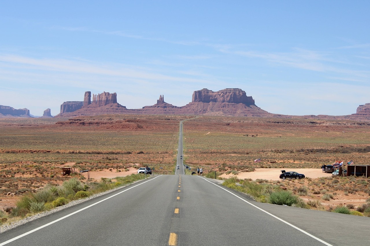
The iconic spot is located a 20-minute drive from the Visitor Center of the valley, in the Utah area. This viewpoint serves as the almost official opening for a visit to Monument Valley. This is the exact spot where Forrest Gump stopped his run in the Oscar-winning movie. The location is known because of the film (it was part of pop culture long before) but it offers a breathtaking view of what's to come along the road. Many stop here to snap a picture with the mountains at their back as Highway 163 slopes down and then rises towards Monument Valley.
Monument Valley Tribal Park Visitor Center
The Monument Valley Tribal Park Visitor Center is the gateway to the expansive plateau technically defined as a park. This designation implies that it is not a national park in the official sense, but rather a breathtaking scenic area that has become a de facto park due to its appearance. It is located at the end of the paved road known as Main Monument Valley Road, which is indeed the last paved road within the park.
The Visitor Center is located at what is known as the Monument Valley View Point, or simply The View. There's a large parking area for cars and buses, a big lodge hotel, and, of course, a stunning view of the iconic buttes. The view from the Visitor Center is probably the park's most recognizable icon, featuring the perfect angle of the three stars – Merrick, West Mitten, and East Mitten.
At the visitor center, there's a restaurant, a shop, and everything you need to kick-start your epic journey through the valley (comfortably by car) in an especially fun way. For many, the view is the highlight of the trip, and you can continue on to the Grand Canyon, but it’s truly worth taking the dirt road number 42 and heading down toward the actual Button Mountains.
Click here to check availability and prices for roadside hotels near Monument Valley…
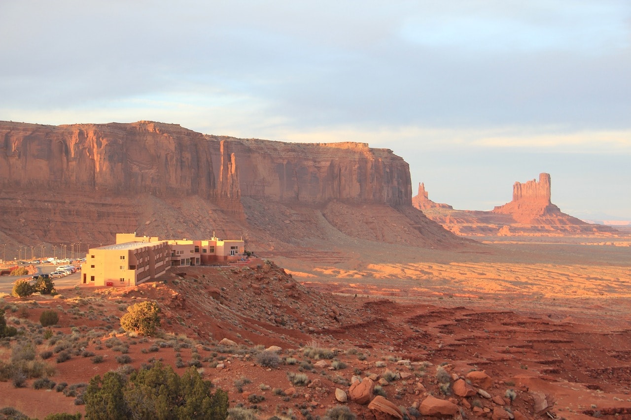
Road Number 42
Road Number 42 descends from the visitor center into the valley itself. The road along with the offshoots leading to the lookout points is about 40 kilometers long, with the official loop route being around 27 kilometers. It’s a relatively well-maintained and smooth dirt road that you can technically drive on with a regular car, but of course, 4X4 is preferable. The road takes you to all the most beautiful lookout points right at the base of the daunting Mittens Buttes.
The Mittens and Merrick Butte Viewpoint
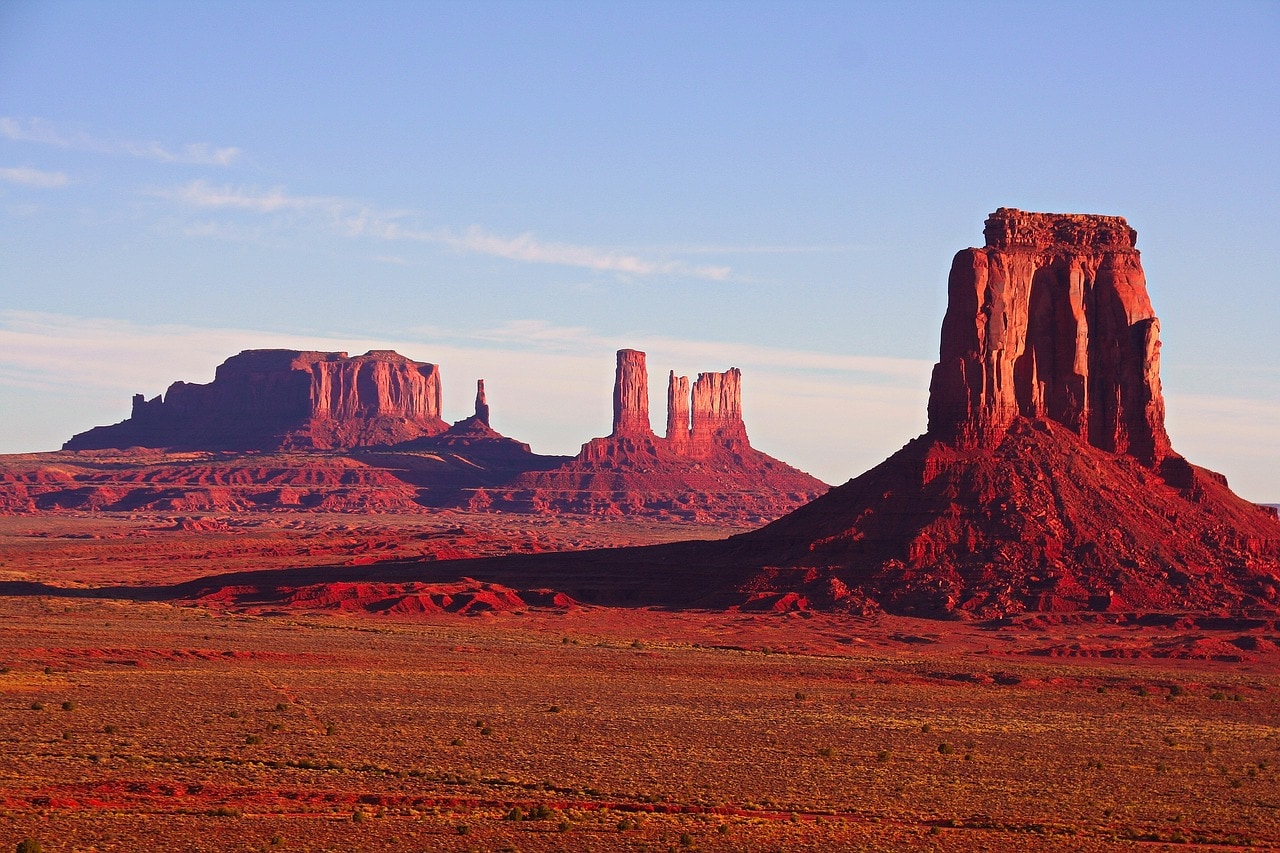
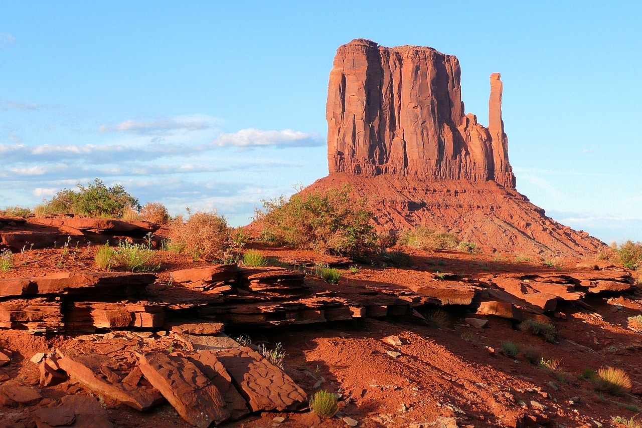
East Mitten Butte, West Mitten Butte, and Merrick Butte are the iconic landmarks of Monument Valley. These three magnificent mitten-shaped buttes are located in the northern part of the valley. You can spot them from the visitor center and throughout the drive along Route 42 heading into the heart of the valley. At every corner on Route 42, people stop to snap photos of these unique formations.
The two mittens, as they are called, are named for their almost symmetrical appearance, with a tall rock column resembling a thumb on each side. The peaks of the two mittens reach over 260 meters above the valley floor. They face each other at a distance of about a kilometer. Closer to the road is Merrick Butte, which stands nearly 300 meters above the valley floor.
Beyond the breathtaking view from Route 42, you can drive off to the unique Button Mountains. At the end of the road, there's a parking area (actually, the whole valley serves as a parking lot) from where you can walk up to the beginning of the mountains' ascent. This route is crowded with visitors, especially around sunset when many come to see the shadow cast by the cliffs spilling over the valley. Professional photographers flood the valley during March and September, when due to the sun's angle, the shadow of the western Glove Mountain covers the eastern Glove Mountain.
Click here for an amazing sunset tour at Monument Valley…
Three Sisters Viewpoint
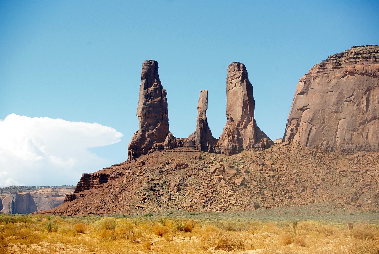
The viewpoint of the Three Sisters is a popular stop along Route 42, not far from the valley center (technically, the center is at Camel Butte point, where the dirt road trails intersect). From this viewpoint, you can catch your first glimpse of the stunning trio of columns known as the Three Sisters. These are three connected rock pillars towering over 300 meters high. The pillars are located in the western part of the park and were formed by the detachment of these pillars from the larger mass to the north.
Camel Butte Point
Camel Butte got its name because, apparently, someone thought it looked like a camel (it's all in the eye of the beholder). This butte is right in the heart of the valley, rising almost 300 meters high. The viewpoint at Camel Butte is the heart of the valley's dirt road network. To the west, the road leads to John Ford Point, the most popular viewpoint in the valley, second only to the one at the visitor center. Camel Butte Point is an open area from which you can see numerous buttes from all directions, including the most impressive part of Camel Butte.
John Ford Point
John Ford Point is one of the most beautiful and popular spots in the valley. It sits at the end of a dirt road, just a 100-meter drive west of the Camel Butte Point intersection. From the dirt road parking, you need to climb about 100 more meters on weathered ledges of a mesa.
The viewpoint is named after the legendary director of western films, and the spot itself was a location in many of his movies. In fact, its iconic status is largely thanks to John Ford, who immortalized it as a symbol of the Wild West.
Due to the possibility of climbing a bit higher, the viewpoint offers a stunning view towards the center of the valley, especially towards the large mesa to the west, at the end of which are the Three Sisters. To the east, there’s a magnificent view of all the central park's mitten mountains – the Camel, the Elephant, and the North Window.
Viewpoints of Loop Road 42
The Loop – a loop road, is an elevator path surrounding a massive table mountain in the heart of the valley. Around the table mountain are several viewpoints renowned for being locations of Hollywood films. In geological terms, a butte (a small mountain in French) is a hill with a button-like top surrounded by cliffs. A mesa (from the Spanish language) is the next stage, referring to a mountain with a widespread area and a flat summit due to erosion. The Hebrew term for mesa is table mountain.
The Hub Point, or Anchor Point, is situated in the southern part of the gigantic mesa (table mountain) that the loop encircles. The Hub, or the base, is a charming viewpoint on the slopes of two towering table mountains, as to the south lies another towering table mountain. If this place looks familiar to you, it's because this spot has been featured in several Hollywood films and many westerns.
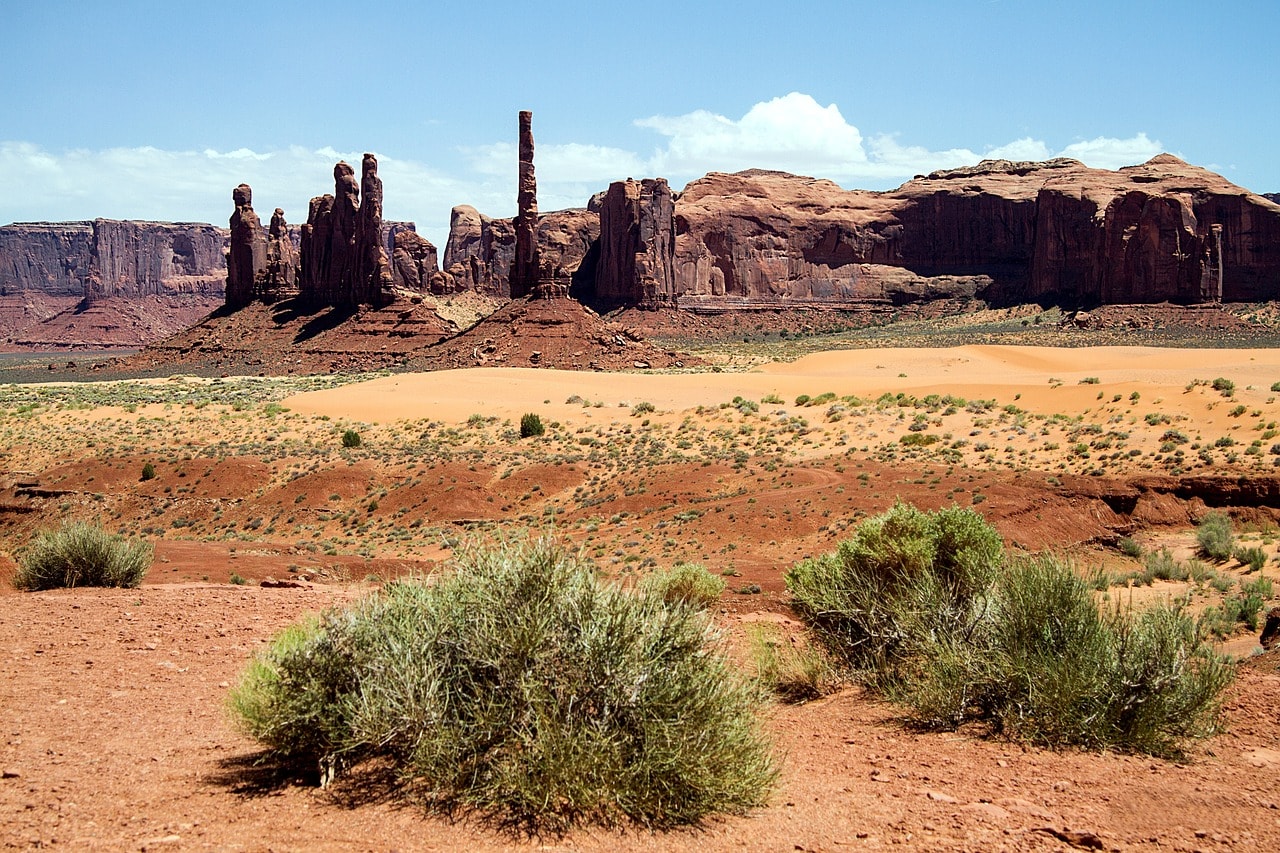
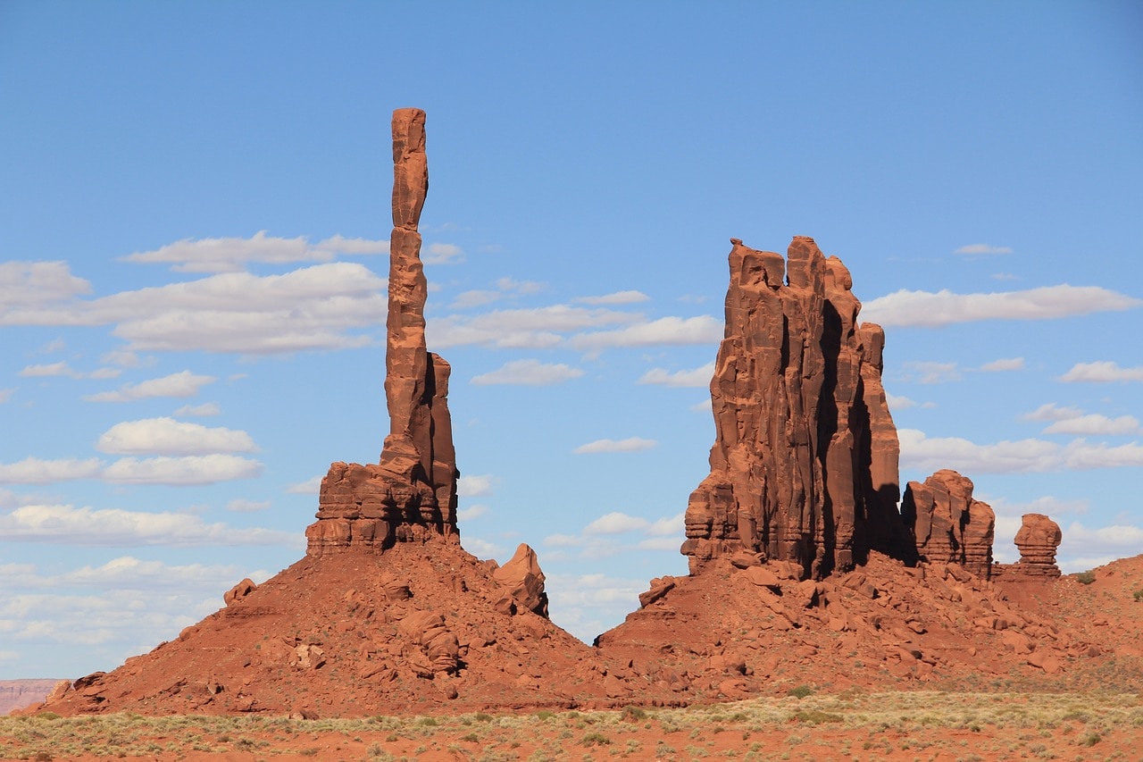
Not far from The Hub, there's also The Cube, a popular movie location and now a tourist hotspot. This is also a favorite vantage point, surrounded mostly by the Table Mountains and Button Mountains. The Cube is the eastern viewpoint of the loop. Just before you reach The Cube, there's a charming viewpoint of the Totem Pole and Yei be Chei to the south. These pillars are eroded rock formations at the northern end of Hunts Mesa, a giant table mountain that borders the valley from the south.
The Thumb, the northern viewpoint of the loop and the junction leading to two other viewpoints – the North Window and the Artist's Point. It lies at the foot of a massive pillar called the Thumb, on the eastern part of Camel Butte. A bit to the east is Artist's Point, a very popular viewpoint from which you can look north into the open desert bordered by many Button Hills and Table Mountains. North of The Thumb is the road to the North Window Overlook, at the eastern end of Elephant Butte. It offers a magnificent view north to the southern part of East Mitten Butte.
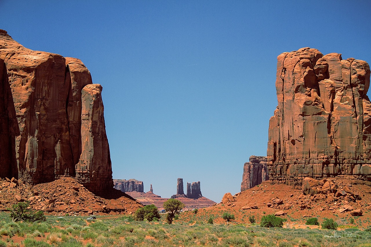
King-on-his-Throne Butte
The King on His Throne Butte is one of the most famous buttes outside the park area. It lies north of the valley and can be seen when driving on Highway 163. The butte, which somehow resembles a king sitting on a throne (with a bit of imagination), is located in the southern part of the Mesa at Brigham's Tomb. Just south of it is the butte known as Bear and Rabbit Summit.
Mystery Valley
Mystery Valley lies to the west of Monument Valley and can be accessed by a dirt road branching from Highway 163, south of the turnoff to the popular valley. It's a particularly favored hiking area, mainly because it's much more spacious than Monument Valley and lacks the crowds.
Click here for a guided tour of Mystery Valley…
In Mystery Valley, there is also a stunning combination of mesa and towering buttes together with ancient Navajo graves and ancient petroglyphs (stone carvings). The hike through Mystery Valley follows the Mystery Valley Road.