Exploring Canyonlands National Park in Utah
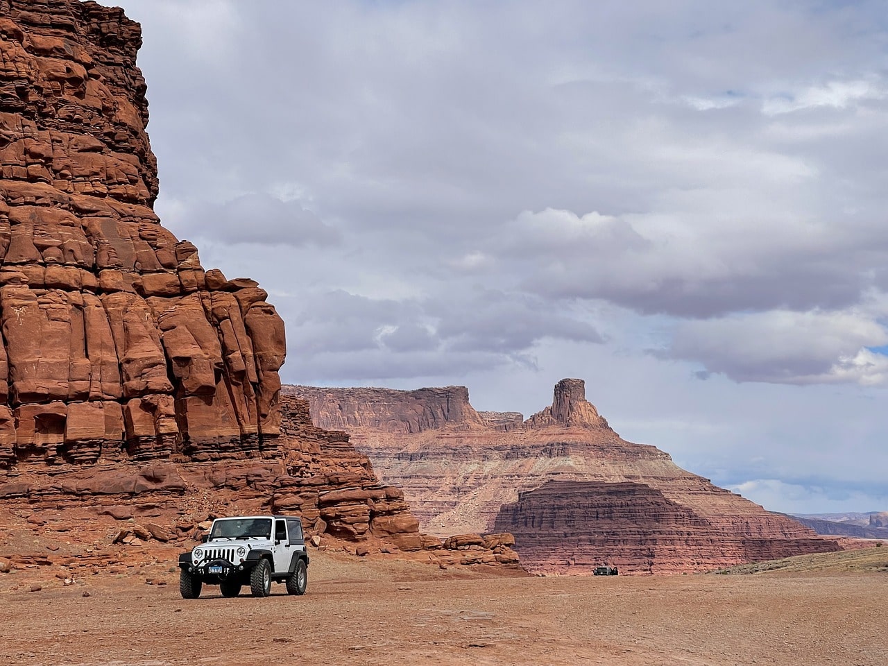
Canyonlands National Park is located on the Island in the Sky, a high desert plateau surrounded by the confluence of the Green River Canyon and the Colorado River Canyon. Along the edge of the cliff, there is a series of vehicle-accessible viewpoints offering rare panoramic views of the massive formation of the two canyons. Throughout the way, you will encounter other stunning geological formations such as arches, mesas, and even a large crater formed by a meteor impact. The park area is a leisure space for visitors with family cars and children, and it's also a paradise for off-road enthusiasts, both on bikes and 4X4 vehicles.

How to explore Canyonlands National Park?
The trip to Arches National Park mainly involves driving and stopping at various viewpoints over the edges of the Green River and Colorado River. At the stopping points, there are also trailheads leading to short walking trails or slightly longer hiking trails toward various attractions, whether geological or to unique viewpoints right over the edge of the cliffs.
The national park has a limited number of hiking trails, most are very popular and filled with visitors, while some are more challenging. The longer trails that take you away from the car are more suitable for hiking in the spring and fall when the weather is mild. In the summer, hiking outside the car is tough, with extreme temperatures, and in the winter, it can be freezing.
How many days do you need to visit Canyonlands National Park?
To explore Canyonlands National Park, you should dedicate a full day. Unless you plan on hiking some longer trails or going on a mountain biking adventure, then it's a good idea to find accommodation in Moab and return to the park the next day.
Click here for a list of 9 great hotels and motels in Moab…
10 Must-See and Do Things at Canyonlands National Park
- Jumping off the cliff with your car at Thelma & Louise Point lookout in Dead Horse Point State Park
- The breathtaking confluence of the Green River Canyon with the Colorado Canyon at Grand View Point
- The unique crater of Upheaval Dome
- Ride mountain bikes or drive a 4X4 in Shafer Canyon
- The moderate hiking trail to Mesa Arch
- View the breathtaking Button Rock from Candlestick Tower
- Stop at Green River Overlook
- The stunning view from Buck Canyon Overlook parking
- Utah's splendor at Monitor and Merrimac View Area
- Dinosaurs in natural size at Moab Giants
Click here to check availability and prices for Moab motels and resorts…
Click here for a guided day tour from Moab to Canyonlands National Park…
What is Canyonlands National Park?
Canyonlands National Park spans the eroded desert expanse of the confluence of the Green River and Colorado River canyons. The park is a short drive west of Moab and not far from Arches National Park just to the east.
- Like its siblings (and much like many of the parks in the Colorado Plateau desert region), this park showcases spectacular geological erosion formations including mesas, buttes, rock spires (needles), arches, and most notably – the two grand canyons of the Green River and Colorado River.
- The developed part of the park is located on the plateau known as the Island in the Sky. This plateau sits above the gaping intersections of the canyons of the Green River and the Colorado River. Two main roads run across the plateau, leading to all the viewpoints and available geological attractions (there are plenty more attractions that can only be seen from afar).
- Apart from the canyons, all the geological showcases originate from various layer folds from ancient times, combined with soft rock that has eroded and harder rock that remains exposed in a stunning vertical geological formation.
- Canyonlands has it all – arches, buttes, mesas, and of course – two massive canyons, one carved by the Colorado River (the Grand Canyon is downstream) and its tributary, the Green River. These two rivers carve giant canyons into the soft Navajo sandstone, revealing ancient soil layers.
Map of Canyonlands National Park
How to Get to Canyonlands National Park?
How to Get to Canyonlands by Air?
Canyonlands Regional Airport (CNY) – This small regional airport is the most convenient way to reach Moab and the neighboring national parks – Arches and Canyonlands. The airport has a regular line to Salt Lake City's airport with several daily flights (in small planes) and occasionally flights from Phoenix. The airport is located on Highway 191 north of Canyonlands Park, about a half-hour drive from the Island in the Sky Visitor Center at the park entrance.
Click here to purchase tickets at attractive prices for Canyonlands Airport or Salt Lake City…
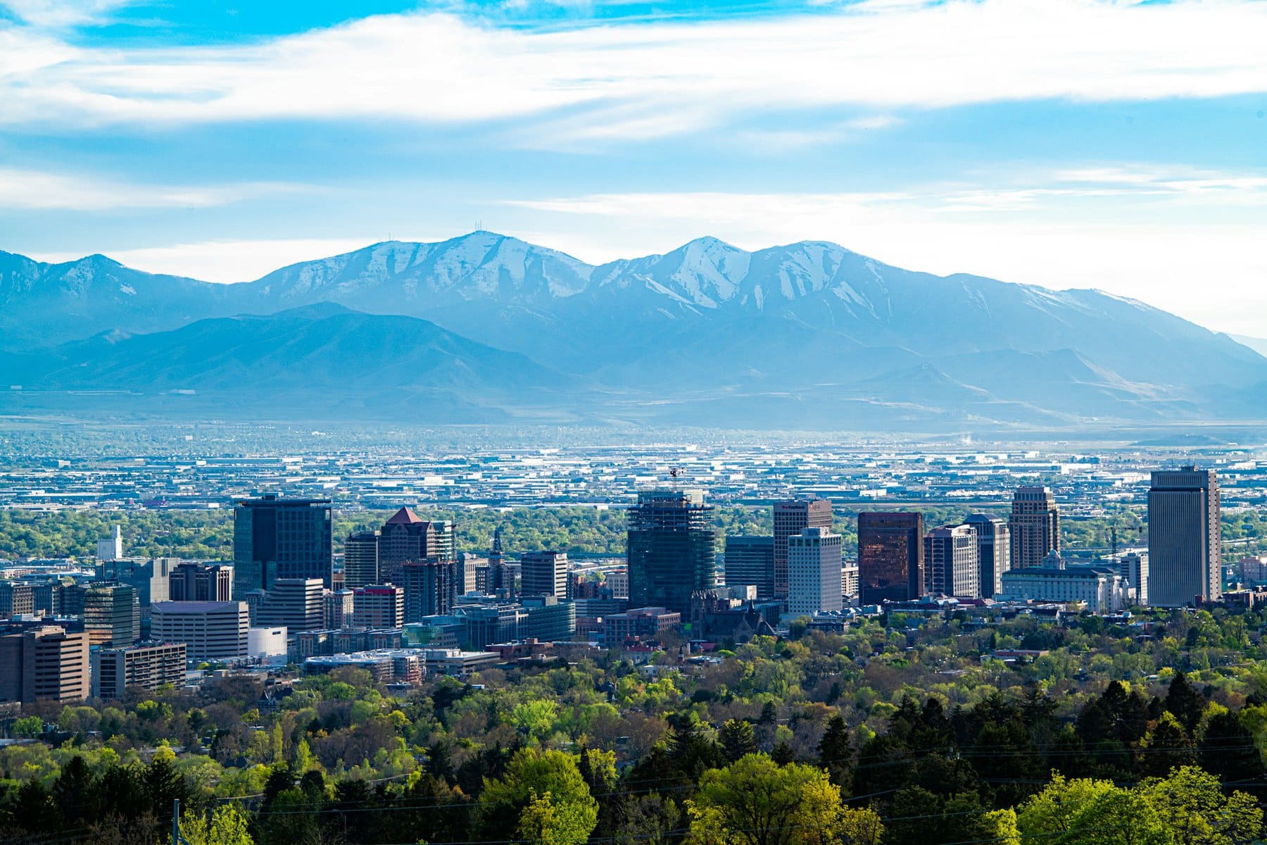
Salt Lake City International Airport (SLC) – the main airport of Salt Lake City, is the largest in the state of Utah. It's one of Delta's major hubs, including routes to a few important European capitals. The airport is well-connected with all major airports in the U.S., both on the Atlantic and Pacific coasts, and it's very easy to reach with transfers from anywhere in Europe or East Asia. The drive from Salt Lake City Airport to Canyonlands National Park is about three and a half hours along Highway 6, which connects to 191.
Click here for a light aircraft flight + guided tour over the Arches and Canyonlands National Parks…
How to Reach Canyonlands National Park by Car?
The town of Moab is the gateway and the logistical center for Arches and Canyonlands parks. These parks are located right on the outskirts of the town. The town is situated on secondary highway number 191, about a three and a half hour drive from Salt Lake City and a five and a half-hour drive from Denver, Colorado, via the I-70 highway. Moab is roughly a forty-minute drive from the 70 at the Crescent Junction interchange.
Click here for all information on car rentals in the United States…
Click here to download the app guide for the national parks Canyonlands and Arches…
When to visit Canyonlands National Park?
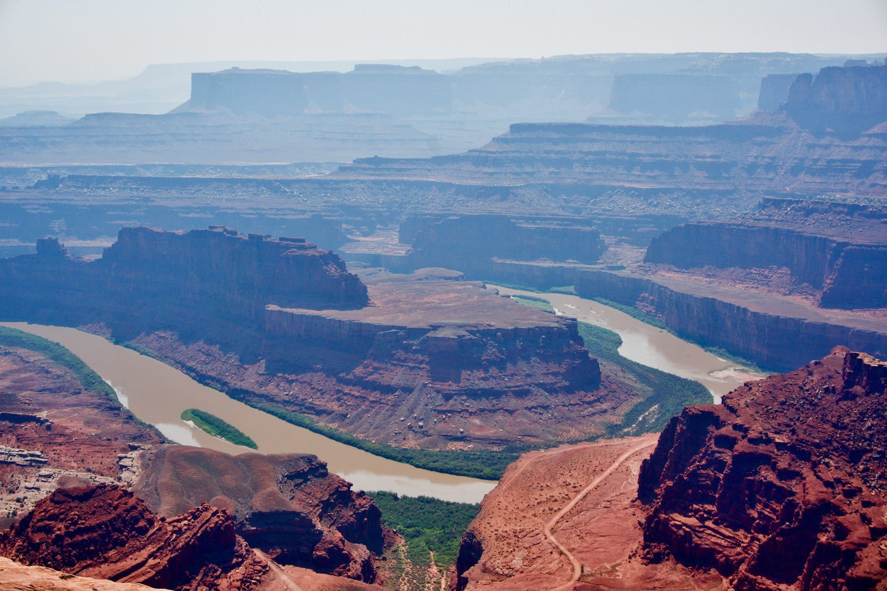
Canyonlands National Park is located at the confluence of the Green River and the mighty Colorado River. It's a high, eroded desert plateau featuring not only gorgeously carved river canyons in the soft Navajo sandstone, but also spectacular geological formations unique to the area, such as arches, buttes, and mesas. The park is situated on the arid Colorado Plateau, in the rain shadow desert west of the Rocky Mountains, not far from the town of Moab in eastern Utah.
- The weather in the park is extremely dry with very little precipitation, which is more common in the summer and fall months. The rare rainfall doesn’t really impact the trip and is quite infrequent
- The best seasons to visit Canyonlands National Park are the transitional seasons, fall and spring. During these times, the weather is very pleasant, with temperatures ranging from cool to comfortable
- As summer approaches, temperatures in the park rise, and at the height of summer, it can be very hot. The average temperatures in July and August are above 35°C daily, with extreme highs hitting 40 plus.
- Winters in Canyonlands are cold to freezing with daytime temperatures slightly above zero and below zero during the night. There can be freezing days and even accumulations of snow.
How to plan a trip itinerary in Canyonlands National Park?
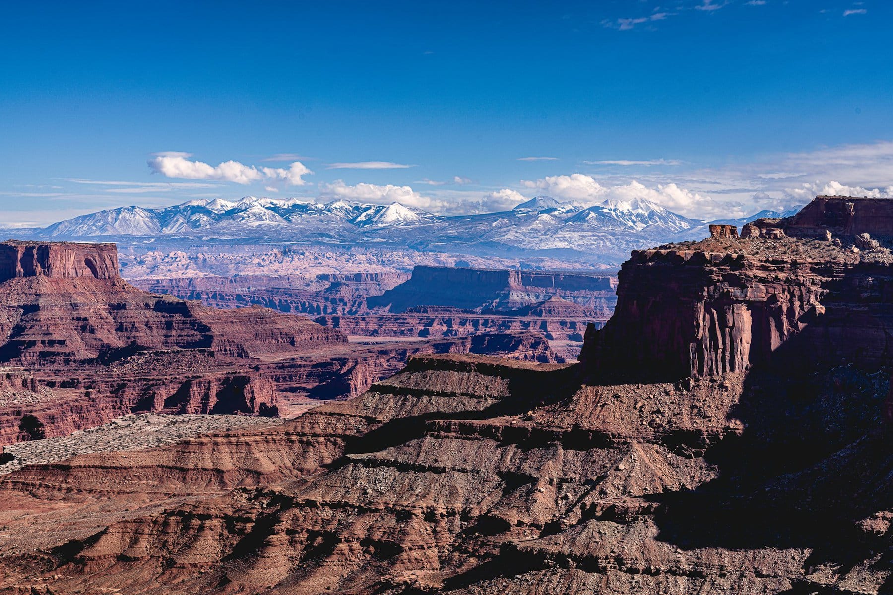
The travel path in Canyonlands National Park is remarkably simple – just drive along the Grand View Point Road and at a certain point also turn onto the Upheaval Dome Road. These two roads are essentially the entire park, with viewpoints and parking areas along the roads. These lots also serve as trailheads, from which often short trails lead to cliff edges or various geological attractions.
For planning a trip to Canyonlands National Park and getting professional advice, click here…

- The attractions in the park are almost in a linear arrangement, just drive from the visitor center and stop at the lookout points along the way
- It's worth starting your park visit right from the turn off Highway 191 towards the visitor center. Make a quick stop at the Moab Giants shop where there's an impressive dinosaur exhibit. This stop is very popular with children
- Further along, there are lookout stops at geological formations such as the buttes of Monitor and Merrimac and the Big Mesa table mountain
- Just before entering the park, it's also worth popping into Dead Horse State Park. At the road's end, on the cliff edge, is the Thelma & Louise viewpoint, the filming location of the iconic final scene from the classic 90s movie
The official entrance to the national park is the Island in the Sky Visitor Center, where you'll also get an initial view of the Colorado River Canyon. From the visitor center, stop at the following overlooks along the road, often involving a short walk to the edge of the cliff.
- The road continues to its end at Grand Point View, from where you turn back. Also consider heading towards Upheaval Dome, the park's large crater.
- Around the crater is a long hiking trail where you can take a short part to the overlook of the crater. Nearby is also a trail leading to the Aztec Butte.
For those interested in an adventurous mountain biking ride or wanting to experience the park in extreme with an off-road vehicle, you can ride the White Rim Road. Just keep in mind that this journey also involves camping in the area.
Click here for a guided 4X4 tour in the Canyonlands and Arches National Parks…
Everything You Need to Know About Lodging Near Canyonlands National Park
Moab
The town of Moab is the logistical and urban center of Southeast Utah's national parks. Both Arches and Canyonlands parks are right on the town's outskirts. Town buildings are located south of the Colorado River, with Highway 191 serving as the town's main street, lined with motels, restaurants, and shops. About five thousand residents live here, almost all connected in some way to the national parks and the massive wave of tourism flooding the area year-round.
Click here to check availability and prices for Moab motels and resorts…
- The wide Main Street of Moab (technically Route 191) is filled with motels, restaurants, and shops for the convenience of those visiting the parks.
- The town boasts all major national motel chains such as Best Western, Holiday Inn, Days Inn, Hampton Inn, and more. There are also many privately-owned motels that are often more budget-friendly. In recent years, larger resorts from Hilton, Marriott, and others have been built.
- There are also motels in the town of Green River along Highway 70, a forty-minute drive from Arches National Park and Moab. Here, too, you'll find all the major American motel chains.
Click here for a list of 9 excellent hotels and motels for families traveling in Moab…
Everything to See and Do in Canyonlands National Park
Moab Giants
Just off the turn from Highway 191 to Highway 313, the access road to Canyonlands, lies a small theme park called Moab Giants. It's a totally cool desert stop, mainly because of the giant dinosaur replicas on the grounds. Basically, it's a roadside stop with a café and store, behind which are trails featuring giant models of various dinosaurs whose fossils were found in the area. The Colorado Plateau desert is a paleontologist's paradise. The place is very popular with kids as a prelude to the stunning nature of Canyonlands (or Arches National Park a bit to the south).
For the park's current hours of operation, click here…
Monitor and Merrimac View Area
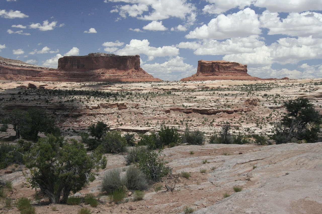
A 10-minute drive on the 313 from Moab Giants brings you to the stunning viewpoint of two buttes – Monitor and Merrimac. These two mountains are nearly a kilometer north of the road, and they are massive buttes on the edge of a mesa (table mountains).
Big Mesa Viewpoint
The Big Mesa Viewpoint, overlooking the giant table mountain, is just a three-minute drive from the Monitor and Merrimac Viewpoint, continuing along route 313 towards the park itself. The Big Mesa is a massive table mountain that dominates the road to the north, with the Monitor and Merrimac buttes having split off from the mesa itself.
Dead Horse Point State Park and Thelma & Louise Point
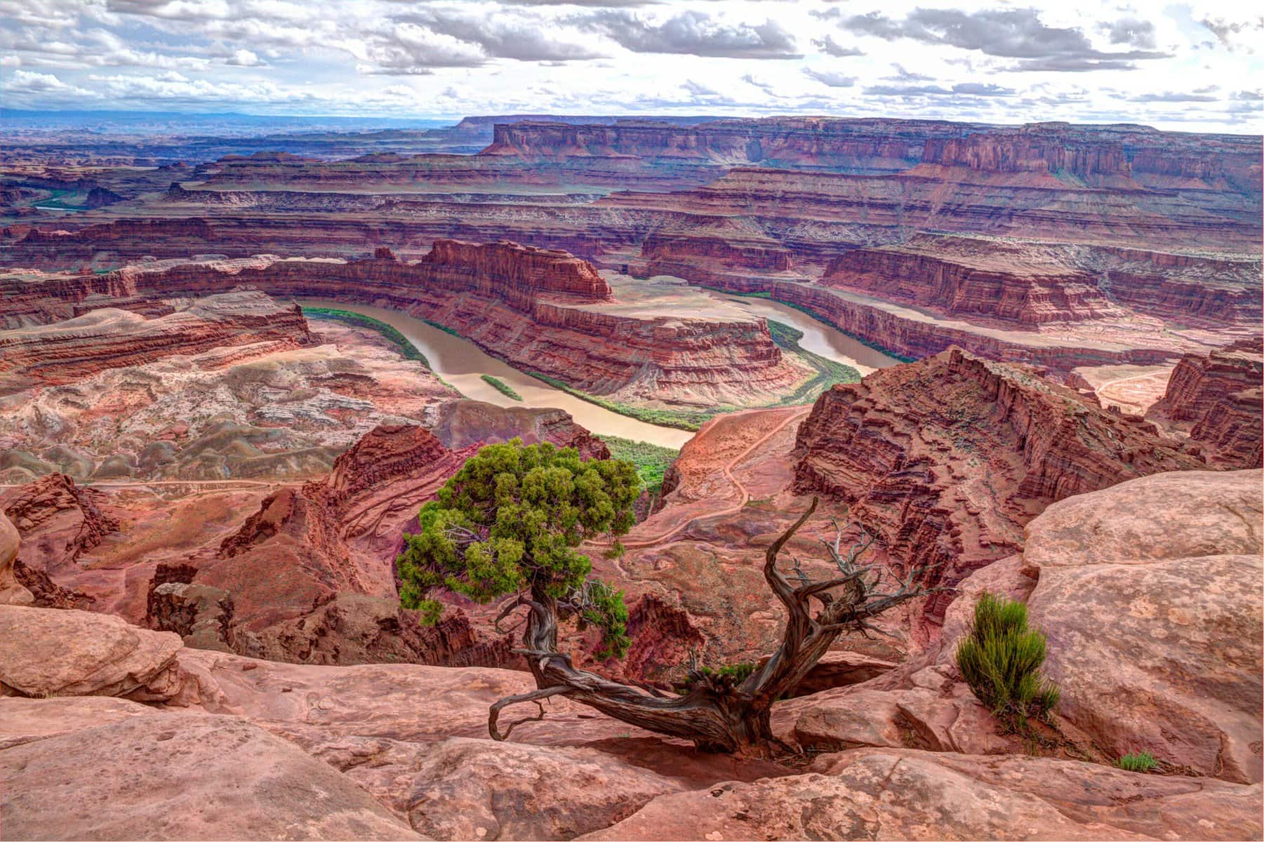
Dead Horse Point State Park serves as a prelude to Canyonlands Park. It stretches along the path of Highway 313 to Dead Horse Point, which marks the end of the road, a half-hour drive from the Moab Giants. The viewpoint offers a look at the park's main claim to fame, which is the Thelma & Louise Point down the canyon.
Thelma and Louise Point is another cool desert spot that has become a pop culture icon. It seems like Thelma and Louise drove their car off the edge of the Grand Canyon, but the filming set was actually at this point, and the red car was thrown from here in the well-known final scene of the epic movie. The spot is accessible via dirt road number 42 which runs along the northern edge of the Colorado River. It's a very popular spot, and many stop here to take photos at the edge of the cliff.
Island in the Sky Visitor Center
The Island in the Sky Visitor Center is officially the gateway to Canyonlands National Park. It's located on the Grand View Point Road, the park's main road, just after the junction of 313. Route 313 continues towards Dead Horse Point, about a half-hour drive from the Moab Giants at the turnoff from highway 191.
You can head south to the stunning viewpoint over Shafer Canyon Road, the path that descends into the abyss. This is the first breathtaking viewpoint of the canyon, with a view all the way to the Colorado River's waters. The visitor center serves as the park's logistical hub, offering a store and all the information needed for your trip.
Shafer Canyon
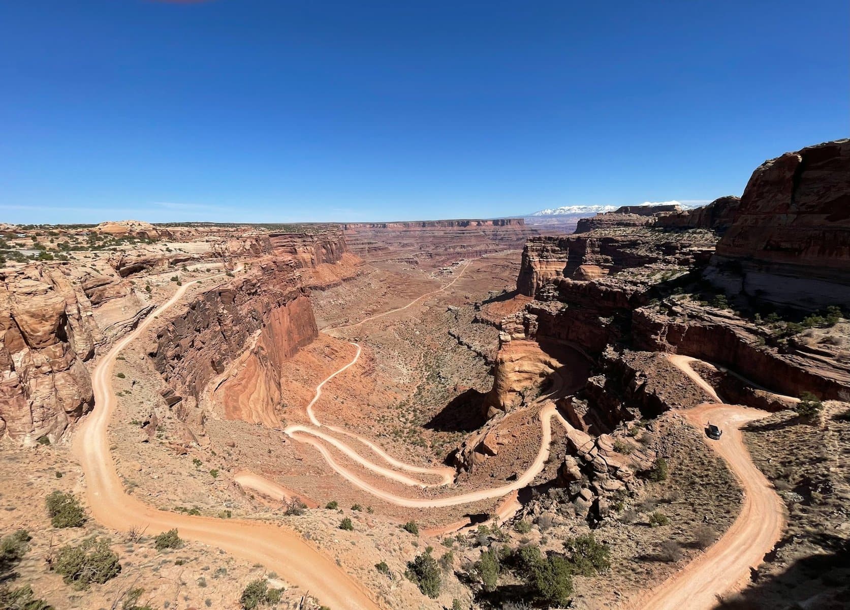
Shafer Canyon Road, Road No. 142, allows you to descend deep into the canyon beneath the visitor center. This is a dirt road originally built for mining trucks, and you can drive on it (with permits available at the visitor center) with a 4X4 vehicle.
The road begins just before the visitor center and connects to the White Rim Road, which is deep inside the canyon, not far from the river itself. The road leads to Musselman Arch.
For those not planning to drive down the challenging dirt paths with a big vehicle, right after the visitor center there are two lookout points over Shafer Canyon – the Shafer Trail Viewpoint offers a beautiful view, but just before it, there's a stop at the head of the Shafer Canyon Overlook Trail. From the trailhead, a short path leads to a simply breathtaking viewpoint of the canyon and the Colorado River.
Mesa Arch
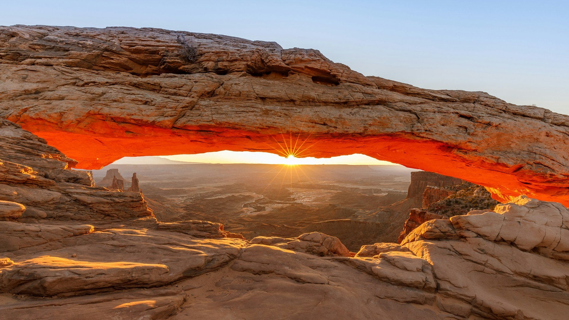
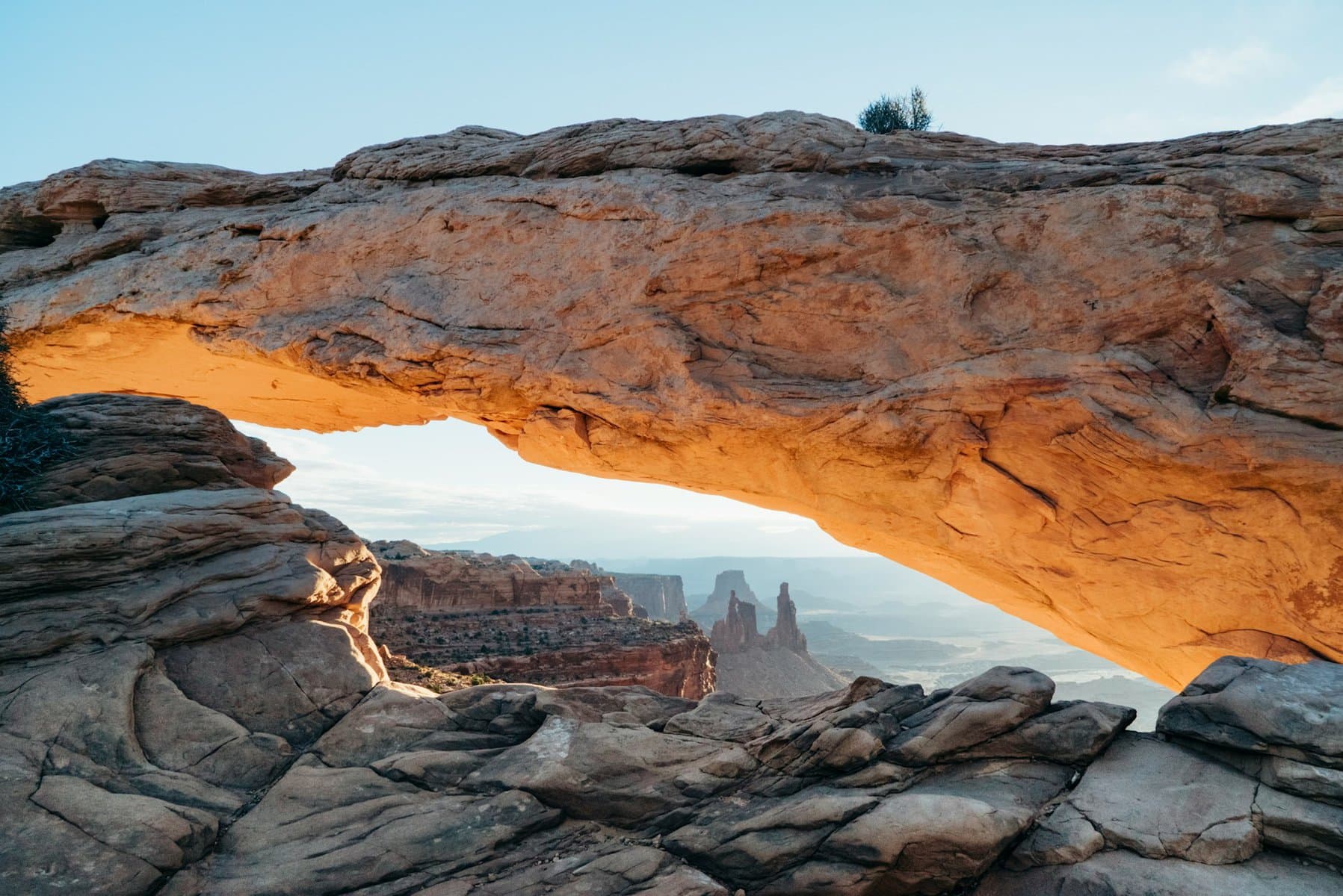
The gigantic Mesa Arch is one of the most recognizable symbols of Canyonlands Park, aside from the canyon's vast chasms. This breathtaking arch competes with the more famous arches in nearby Arches National Park, and it's definitely one of the prettiest in the desert area around Moab. The main reason to visit this arch is the trail leading to it, the Mesa Arch Trail, one of the most popular hiking paths in the national park.
The trail runs along the edge of a cliff at about 450 meters high, offering a stunning view of the La Sal Mountains, the western extension of the Rockies above Moab. The trail itself isn’t long, roughly a kilometer to the arch, and the entire path takes about two hours. It's probably the most crowded hiking trail in the park, very suitable for children, and likely offers the most breathtaking view of the park without too much effort.
Candlestick Tower Overlook
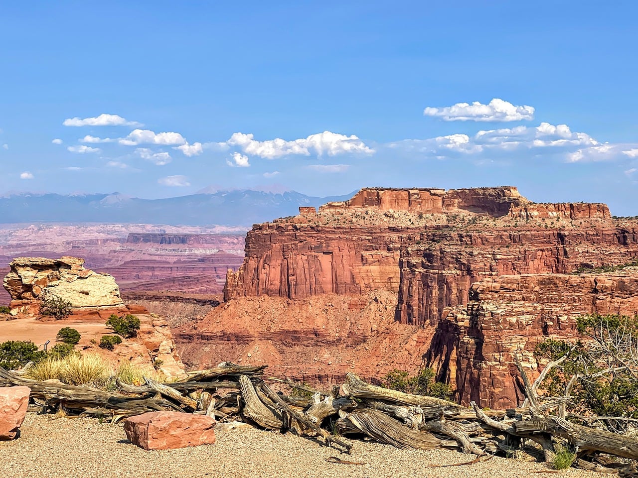
Just a three-minute drive from the Mesa Arch trailhead, you'll find the first viewpoint that offers a look towards the Green River canyon. Rising above the river is the butte known as the Candlestick Tower, one of the most beautiful mesas in the national park.
Murphy Point Overlook
Murphy Point Overlook is a popular hiking destination in the national park. The trailhead parking lot is a two-minute drive from the Candlestick Tower Overlook. The Murphy Point Trail is a relatively busy hiking path, stretching nearly six kilometers round trip. The trail leads to the breathtaking viewpoint above the Green River canyon.
Buck Canyon Overlook
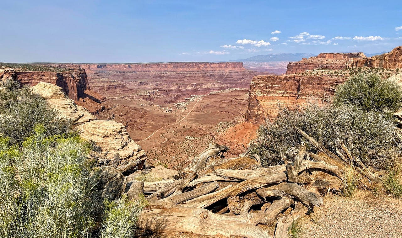
Just a three-minute drive from Candlestick Tower Overlook, you can comfortably park your car and feast your eyes. Buck Canyon Overlook is one of the most convenient and perfect viewpoints in Canyonlands National Park and a stunning introduction to Grand View Point. The overlook is located just 50 meters from the parking lot, right on the edge of the cliff. From the viewpoint, you can see Buck channeling rapidly and sharply into the Colorado River.
White Rim Overlook
The trailhead parking for the White Rim Overlook Trail is just a five-minute drive from Buck Canyon Overlook, near Grand View Point and the end of the road. The White Rim Overlook Trail leads to the viewpoint on the edge of the Colorado River Canyon. The trail is one and a half kilometers in one direction and features breathtaking views of the white cliffs, a layer of exposed white rock right at the canyon's edge.
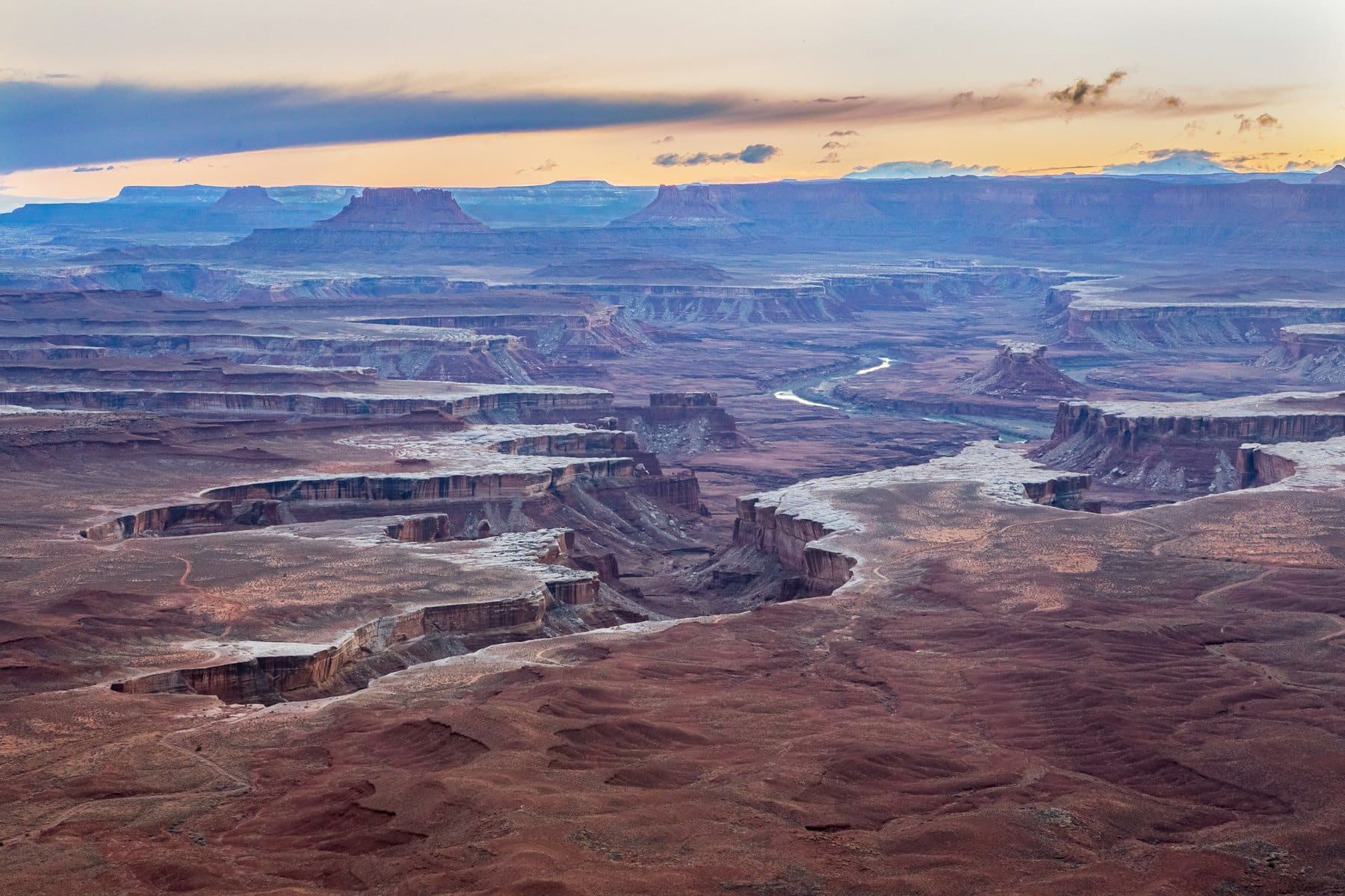
Grand View Point
Grand View Point is the highlight of a visit to Canyonlands National Park and the end of the popular scenic drive (which is basically the entire park) named after it. The point is a five-minute drive from Buck Canyon Overlook and twenty minutes from the Island in the Sky Visitor Center.
The viewpoint stands at an unbelievable height of nearly two kilometers, overlooking the insane confluence of the Green River with the Colorado River, at the tip of the triangle created by the meeting of the two canyons. If you're interested in a better view of the Green River Canyon, you can drive back 200 meters to the Orange Cliffs Overlook.
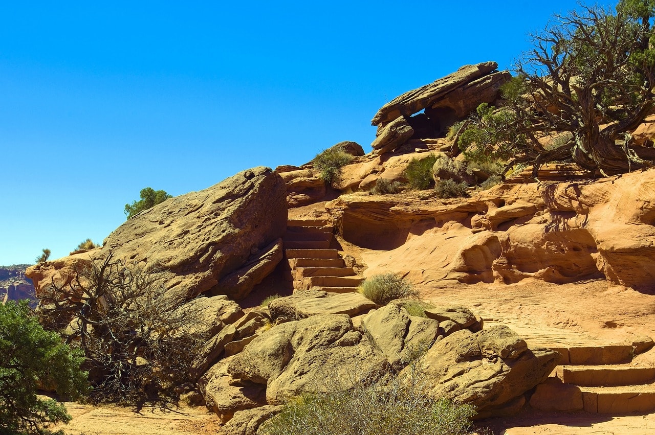
At the end of the road, the Grand View Point Trail descends, offering a half-hour walk straight to the edge of the cliff on a round trip of almost three kilometers. This trail is a must-do in the park; it’s easy and accessible for the whole family (just be cautious as it's still the cliff’s edge). From the viewpoint, you can also see the Needles District, the part of the park located south of the Colorado River, on the southern cliffs of the river.
Click here for a guided tour in the Needles District by off-road vehicle…
The Green River Overlook
The Green River Overlook is a five-minute drive from the Mesa Arch, towards the Upheaval Dome direction. It's another stunning viewpoint in the national park, perched on the edge of a cliff above the Green River. You can park your vehicle in a large parking area and walk about fifty meters along a path to the cliff's edge.
The viewpoint stands 1800 meters above the river line, offering views of White Rim, the orange cliffs known as Orange Cliffs, and the area called the Maze District, which is entirely composed of intricate rock mazes.
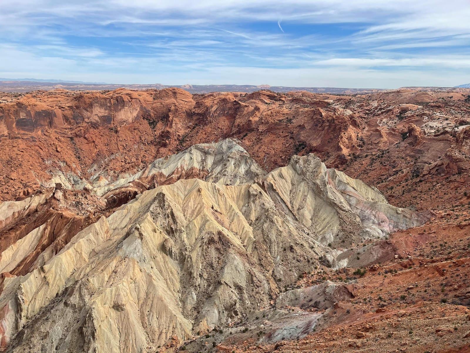
Upheaval Dome
The unique crater of the Upheaval Dome is remarkable even within the Canyonlands National Park, which is full of geological formations. According to estimates, this strange mountainous crater was formed by an asteroid or meteor impact, and it is characterized by the stunning colors created by the destruction from the impact and the exposure of much older rock layers.
The crater is a ten-minute drive from the Mesa Arch, on the road named after the crater. Just before the crater is the Whale Rock, a smooth rock layer with a viewpoint over the crater and the Green River Canyon behind it.
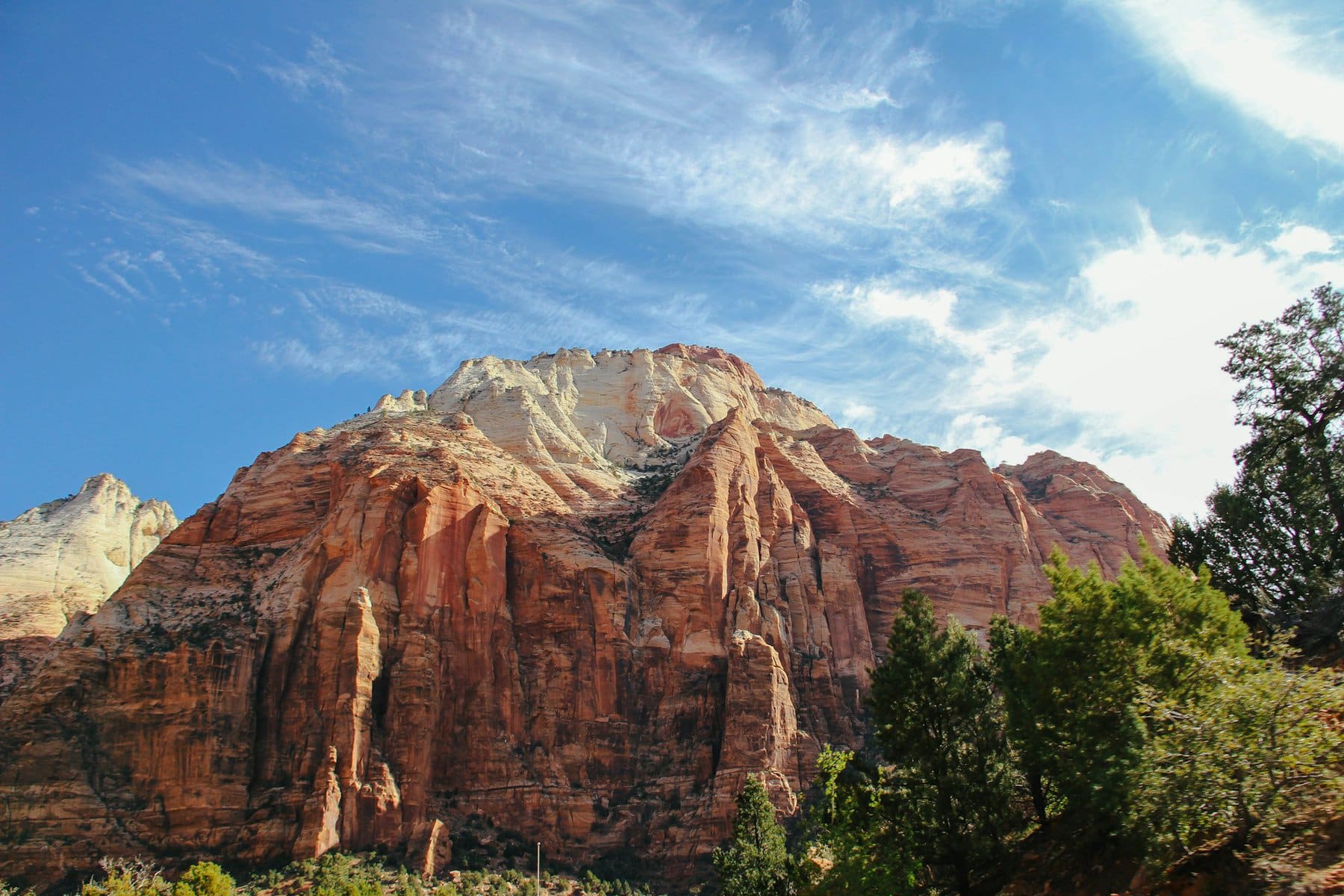
Around the crater, there are two viewpoints accessible via one of the park's tougher trails, the Upheaval Dome Trail, which is over ten kilometers round trip. The trail can be accessed from the Syncline Loop Trailhead parking lot. The Syncline Loop is a trail that circles the crater and is about 13 kilometers long. Most who visit the crater go only as far as the first viewpoint, less than half a kilometer from the parking lot. From the viewpoint, you can see the hole left by the meteor.
Aztec Butte
Aztec Butte is another one of the park's geological wonders. Its shape is like a rounded dome, making it possible to climb, which is quite different from any other butte across the Colorado Plateau. The trail to the dome starts from the trailhead parking lot, just a three-minute drive from Mesa Arch on the way to the Upheaval Dome Crater.
The Aztec Butte Trail leads to the butte and includes a climbing path on the white cliffs on its western side up to the flat summit. The butte rises about 70 meters above the ground. The trail is about four kilometers round trip.
White Rim Road
The White Rim Road is a challenging dirt road much loved by the tougher Americans. It encircles a vast area known as the Island in the Sky Mesa, essentially the entire tabletop mountain situated between the two canyons upon which the national park is located. The road stretches about a hundred and fifty kilometers and is suitable only for off-road vehicles or cyclists who are truly in shape. It takes a few days to complete the road.