Exploring the Amazing Arches National Park in Utah
Arches National Park is one of the most beautiful and unique national parks of the Colorado Plateau. Located on the western slopes of the Rocky Mountains, adjacent to the town of Moab in Utah, at the starting point of the great rain shadow desert, lies a park characterized by stunning geological arches. The park boasts more than 2,000 arches, some of which have become iconic, including the widest arch in the world. Besides the arches, the national park offers hiking trails bustling with visitors, breathtaking viewpoints towards the Rocky Mountains, and totally surreal sites and attractions near table mountains, button mountains, and spectacular rock columns.

How to Tour Arches National Park?
The trip to Arches National Park revolves around driving and stopping at various scenic viewpoints near stunning arches, button hills, and table hills. At these stopping points, there are also trailheads leading towards the attractions. The park offers a limited number of hiking trails, most of which are very popular, and some are quite challenging, so it's important to know in advance about the nature of the trail you plan to hike. The trails are especially inviting in the fall and spring. In the summer and winter, the main part of the trip is inside the air-conditioned car because the weather often doesn't permit long outdoor hikes.
How many days does a trip to Arches National Park take?
For a trip to Arches National Park, it's recommended to dedicate one full day.
The trip to Arches National Park is centered around the neighboring town of Moab, including a day at Arches and a day at the nearby Canyonlands National Park. Accommodation is in Moab.
Click here to check availability and prices for hotels and motels in Moab, Utah…
12 Must-See and Do Things in Arches National Park
- A selfie with the national symbol of Utah, the Delicate Arch
- Geological displays and vital explanations at the Arches Visitor Center
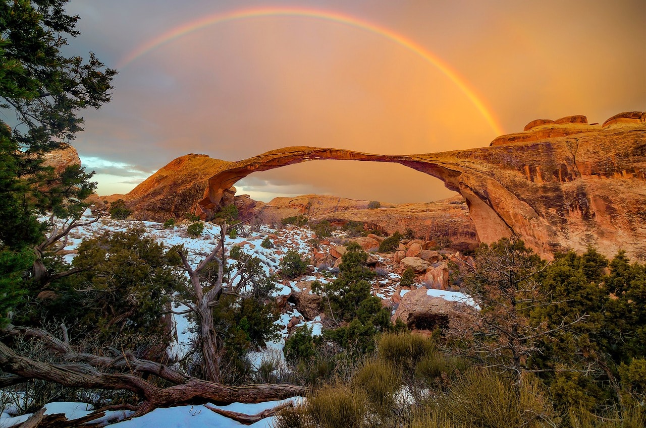
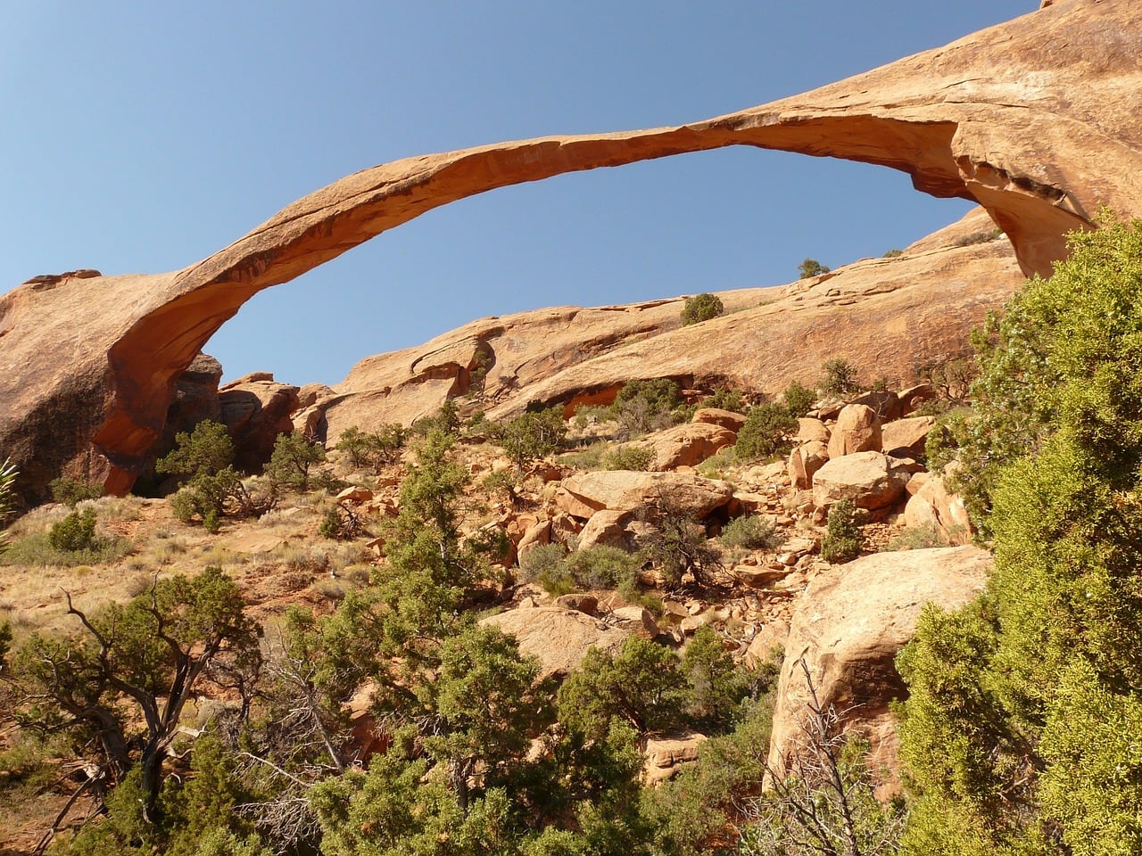
- The unbelievable size of the Landscape Arch
- A breathtaking panoramic view at the rain shadow desert boundary and the western spurs of the Rockies at the La Sal Mountains Viewpoint
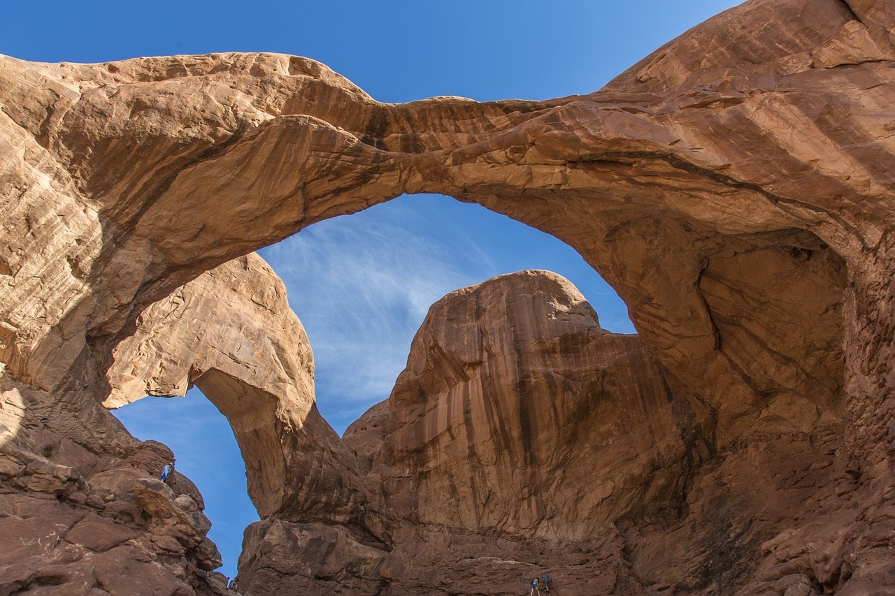
- The magnificent arches of the Windows Section and the Double Arch
- The unusual sight of the Balanced Rock
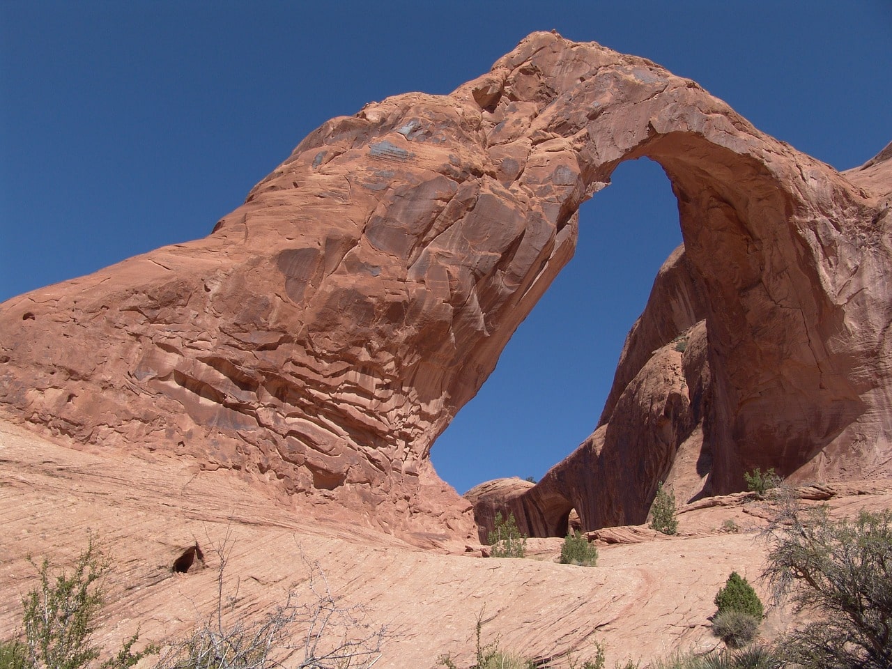
- The delicate and elegant appearance of the Corona Arch
- Countless arches and the beauty of Devils Garden
- The stunning geological features of the Sand Dune Arch Trail
- Nature’s version of New York along the Park Avenue Trail
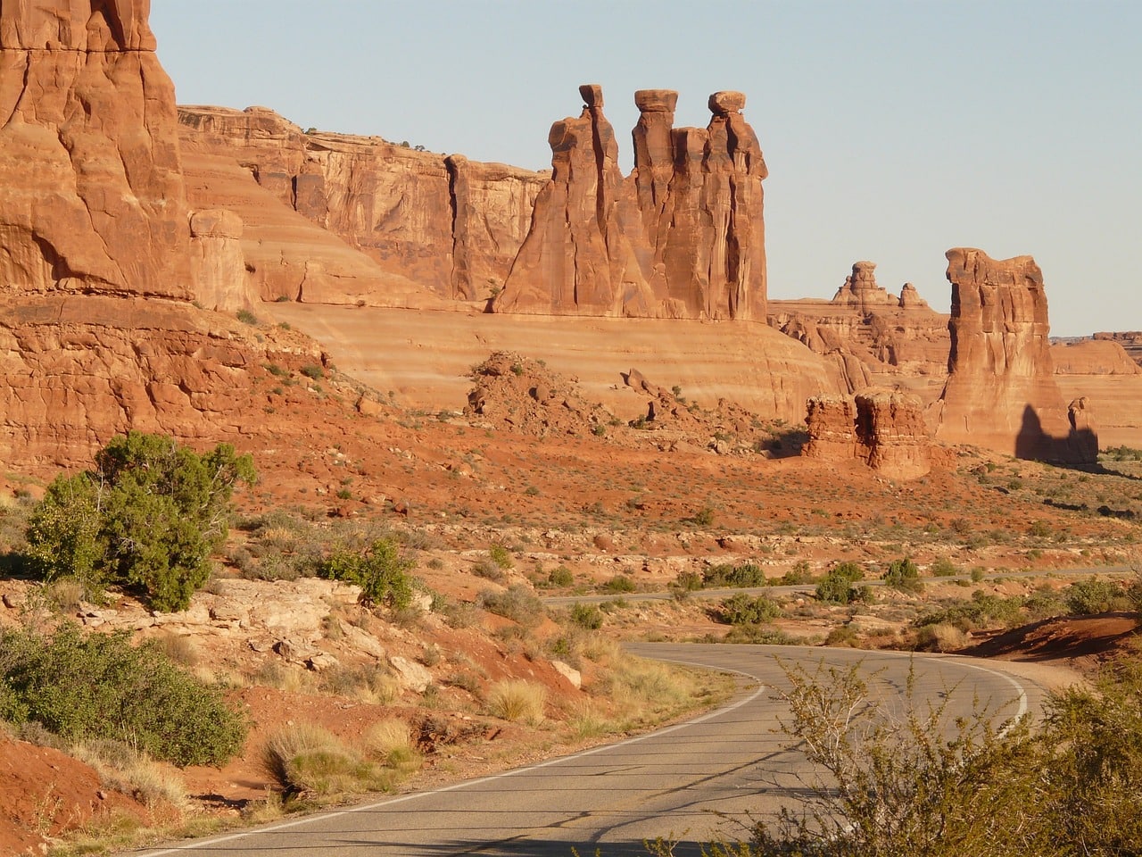
- Scenic view of Courthouse Towers and Three Gossips
- Challenging hiking in Fiery Furnace
What is Arches National Park?
Arches National Park, or the Arch Park, is renowned for its stunning geology featuring a multitude of remarkable natural stone arches, considered the world's largest concentration of natural arches.
- The park boasts over 2000 stone arches of various sizes, with some becoming its main attractions. The most famous include the longest natural arch in the world – the Landscape Arch, and the beautiful Delicate Arch, which has become the national symbol of Utah.
- The park is located in the northern part of Moab, on the eastern side of Utah, not far from the Canyonlands National Park southwest of the city. The Arches area was declared a national park in 1971.
- The park is located on a high mountainous plateau north of the path of the Colorado River, in the eastern part of the Colorado Plateau. It is the park that opens the chain of desert national parks along the river and its tributaries, including Glen Canyon, Bryce Canyon National Park, Zion National Park, and the magnificent Grand Canyon National Park in northern Arizona
- The park is also located a short drive away (two and a half hours, which is nothing in Utah-Arizona terms) from the spectacular Monument Valley of the Navajo Nation
- The park's elevation ranges between 1,200 to 1,700 meters above sea level
Map of the Rocky Mountain National Park in Arches
How to Get to Arches National Park?
How to Fly to Arches National Park?
Canyonlands Regional Airport (CNY) – This small regional airport is the most convenient way to reach Moab for visits to Arches and Canyonlands National Parks. The airport has regular flights to Salt Lake City Airport with several daily flights (on small planes) and sometimes flights from Phoenix. It is located on Highway 191 north of Arches Park, about a 15 to 20-minute drive from the visitor center.

Click here to find attractive flight prices to Salt Lake City and Canyonlands Airport…
Salt Lake City International Airport (SLC) – The main airport of Salt Lake City, it's the largest in the state of Utah. It serves as a major hub for Delta Airlines with routes to several important European capitals like London, Amsterdam, Paris, and more. The airport is well connected to all major airports in the USA, both on the Atlantic coast such as New York and Miami, and in the West. The drive from Salt Lake City Airport to Arches National Park takes about three and a half hours via Highway 6, which connects to 191.
Click here for a light airplane flight + guided tour over Arches and Canyonlands National Parks…
How do you get to Arches National Park by car?
The town of Moab is the gateway and logistic center for Arches and Canyonlands parks. The parks are located right on the outskirts of the town. Moab is situated on secondary highway 191, about a three and a half hour drive from Salt Lake City and a five and a half hour drive from Denver, Colorado, along the I-70 highway route. Moab is about a forty-minute drive from highway number 70, via the Crescent Junction exit.
Click here for all the information on car rental in the western USA…
Click here for a guided tour in Arches National Park in a 4X4 (departing from Moab)…
When to visit Arches National Park?
Arches National Park is located on the Colorado Plateau desert, in a rain shadow desert west of the Rocky Mountains. The moisture fails to pass the Rocky Ridge from the east, turning the state of Utah into a rain shadow desert with scorching summers and winters that can get freezing cold.
- The weather in the park is very dry with very little precipitation, which is more common in the summer and fall months. Most of the time, rain doesn't really affect your excursion, but if it does rain, the park's canyons are at risk of flash floods, and there are clear warnings issued by the park beforehand.
- The best seasons to visit Arches National Park are the transition periods, fall and spring. During these seasons, the weather is very pleasant, with temperatures ranging from cool to comfortable.
- As summer approaches, temperatures in the plateau rise, and during peak summer it can get very hot. The average temperatures in July and August are over 35 degrees daily, with extreme highs of 40 plus. Traveling in the park during summer is mostly feasible by driving and stopping at the main attractions.
- Winters in Monument Valley are cold to freezing, with temperatures just above zero during the day and below freezing at night. There can also be freezing days, and even snow accumulation. On snowy days, there are movement restrictions in the park.
How to Plan a Trip Route in Arches National Park?
Arches National Park is the easternmost of the series of desert national parks in Utah and Arizona, right on the slopes of the Rocky Mountain range, beyond the border of Colorado.
- You can combine the park in a circular travel route departing from Las Vegas that includes the Grand Canyon, Monument Valley, Arches National Park, Canyonlands, Bryce Canyon National Park, and Zion National Park. Along the way, there are additional attractions such as Glen Canyon of the Colorado River, Capitol Reef National Park, Lake Mead, and Hoover Dam near Las Vegas.
The trip in Arches National Park is relatively easy and includes a long drive along Arches National Park Road.
Click here for a guided audio tour in the app at Arches National Park…
Click here for a guided audio tour combining Arches and Canyonlands Parks (discounted price)…
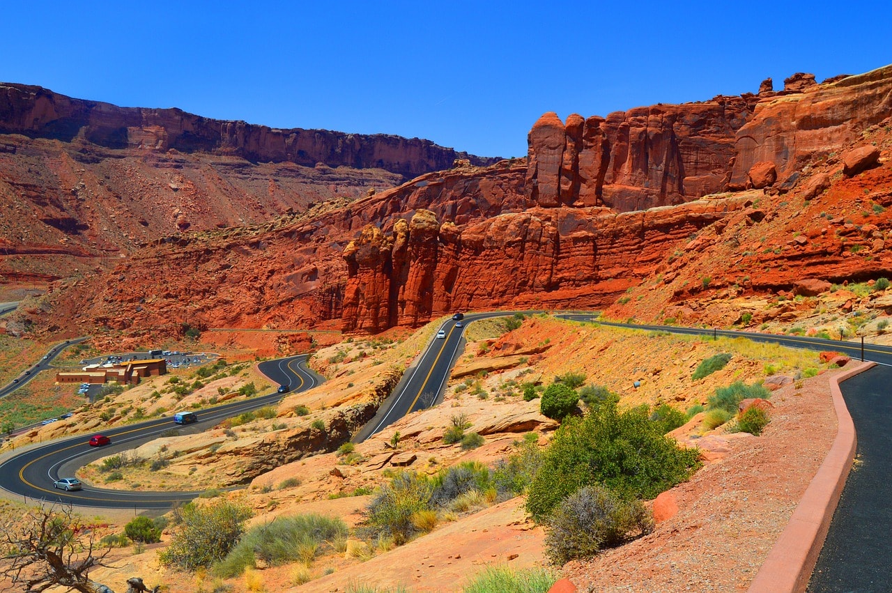
- This road stretches from the park's visitor center near Highway 191 to the Devils Garden Trailhead.
- Along the route, secondary roads branch out leading to the park's attractions.
- You can explore the entire park by stopping at the observation parking lots, or dive into the park's diverse hiking trails.
- Generally, the hiking trails aren't difficult and lead directly to the arches or the buttes. But, there are some really challenging ones, so it's important to know where you're heading beforehand.
Accommodation and Hotels near Arches National Park
The small town of Moab is the logistical and hotel hub for trips to Arches and Canyonlands national parks. This quaint town, home to five thousand permanent residents, welcomes daily up to twice or thrice its population in visitors who stay in its numerous hotels and motels.
Click here for a list of 9 great hotels in Moab, near the national parks…
- The main street of Moab (technically it's Highway 191) is lined with motels, restaurants, and stores for the convenience of those visiting the parks
- In the town, you'll find all the major national hotel chains like Best Western, Holiday Inn, Days Inn, Hampton Inn, and more. There are also plenty of privately owned motels that are often easier on the wallet
- There are also motels in the town of Green River on Highway 70, a forty-minute drive from Arches National Park and Moab. Here too, you'll find representations of all the major American motel chains
Click here to find accommodation in Moab's hotels and motels…
Everything to See and Do in Arches National Park
Moab
The town of Moab is the logistical and urban center of the national parks in southeastern Utah. Two parks, both Arches and Canyonlands, are situated right on the outskirts of the town. The town's buildings are located south of the Colorado River, with Highway 191 serving as the main street lined with motels, restaurants, and shops. Around five thousand residents live in the town, almost all of whom are in some way connected to the national parks and the massive tourist movement that floods the area throughout the year.
Arches Visitor Center
The entrance to Arches National Park is approximately one kilometer after crossing the Colorado River on the northern outskirts of Moab. The main road of the national park is known as Arches National Park Road and stretches from the turnoff from 191 near the visitor center to the Devil's Garden Trailhead parking lot. The visitor center is located right at the park entrance, about a kilometer after the turnoff from 191. There, you'll find a shop, important information center, and exhibits (with explanations) on geology, wildlife, and everything special about the park.
La Sal Mountains Viewpoint
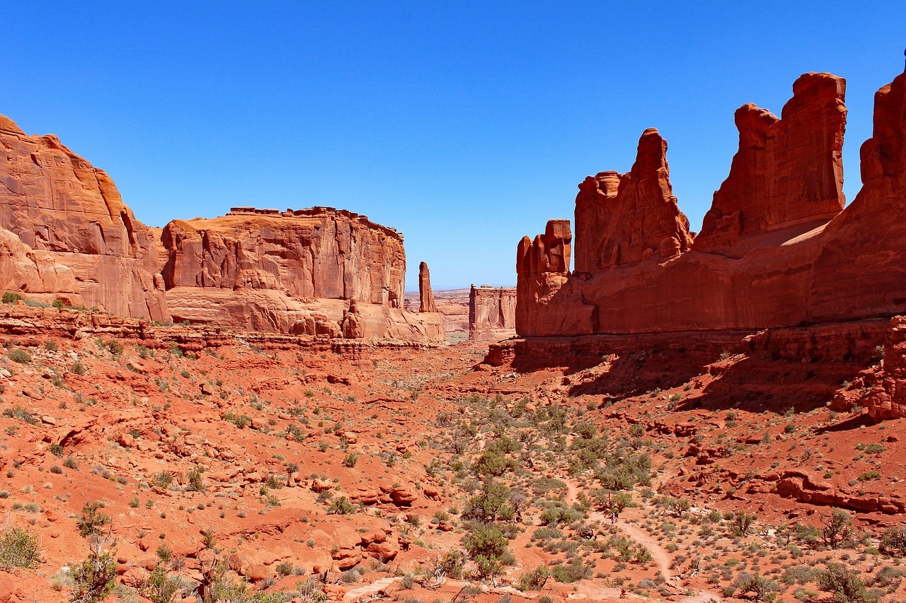
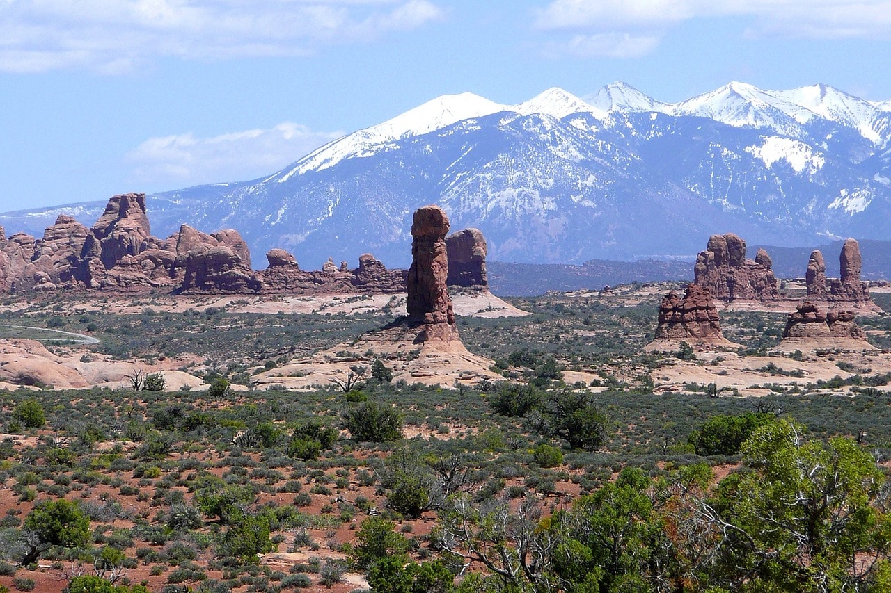
This viewpoint is a popular stopping spot about half a kilometer after the Park Avenue Trailhead. You can park your car and gaze at the La Sal Mountains, a western extension of the Rocky Mountains, to the southeast of Moab. The more beautiful part of the viewpoint is towards the park itself, where you can see the buttes in a landscape reminiscent of Monument Valley to the south.
Park Avenue
The Park Avenue Trail is a stunning hiking trail that essentially marks the beginning of the park. It's one of the most popular and crowded trails in the park. The trail starts at Park Avenue Trailhead, a convenient parking area with a path leading to the Park Avenue view point. The trail descends from the viewpoint and runs along a deep channel on the western slopes of an eroded ridge.
The ridge is called Park Avenue due to its height and the massive pillars that resemble the skyscrapers of New York City. The trail stretches along the channel and ends at Arches National Park Road near Courthouse Towers. Towards the end of the trail, there's a viewpoint over the Three Gossips rocks, one of the stars of the park. The trail is about a kilometer and a half long from the trailhead to Courthouse Towers.
Courthouse Towers and the Three Gossips
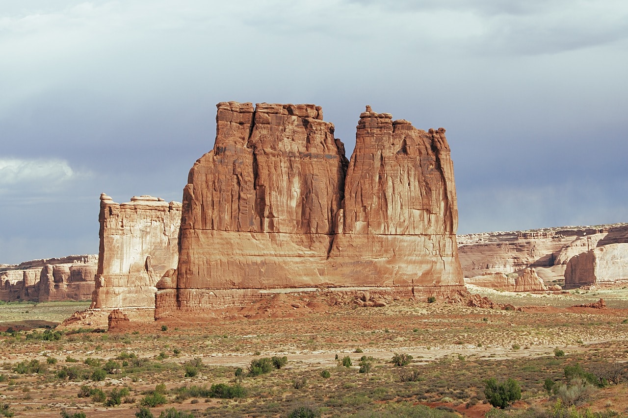
The Courthouse Towers are located right on the park's scenic road, at the end of the Park Avenue trail. These towers are the highlight of Park Avenue. They are two massive sandstone buttes towering tens of meters above the plateau.
Nearby, right at the end of Park Avenue Trail, you can see the Three Gossips, three sandstone columns resembling three people talking to each other. The stop also offers a stunning view of the Tower of Babel, one of the tallest and most massive buttes in the park. Opposite the Tower of Babel is Sheep Rock, aptly named as it resembles a sheep.
Continuing the drive on the road towards the arches, there are many organized stops in front of various geological wonders such as the Petrified Dunes Viewpoint, the view of the Great Wall mesa, and the stop for The Phallus Pillar, which is, as its name suggests.
Balanced Rock
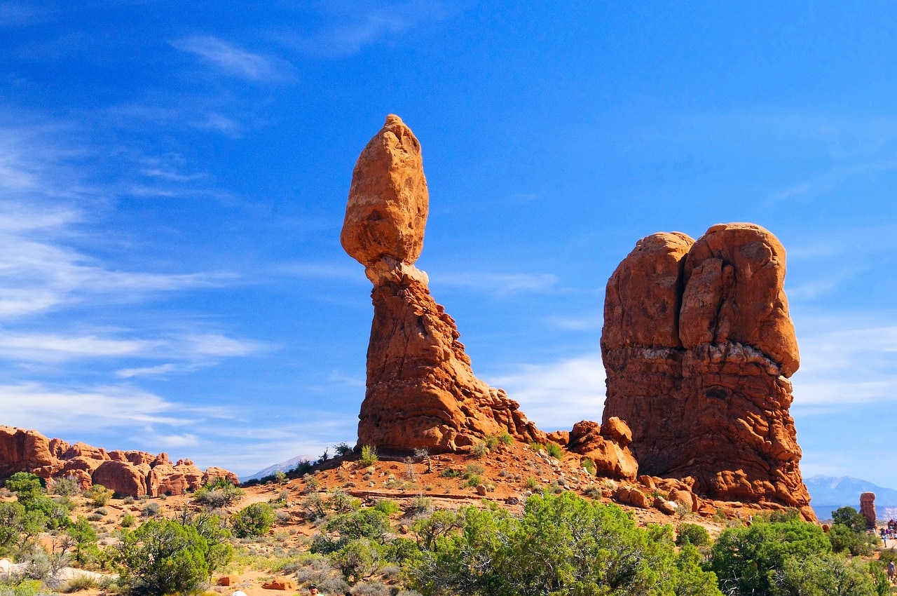
The Balanced Rock is one of the most spectacular geological features in the national park that's unrelated to arches. It's a 40-meter tall rock column composed of a column and a giant boulder balanced on top. The sight of the column and the boulder is simply stunning and awe-inspiring, and it looks like the massive rock might fall any second.
The rock is one of the park's highlights and a must-stop attraction. There is a large parking area from which you can view the rock or walk toward it on the well-maintained and popular Balanced Rock Trail. The trail is accessible to strollers and wheelchairs, leading right beneath the formation.
The Windows Section and the Double Arch
About a hundred meters past the Balanced Rock, there's a right turn onto The Windows Road, the way leading to the beginning of the park's spectacular arches displays in Arches National Park. Along the way, you can stop at the Garden of Eden Viewpoint, where you'll find the Owl Rock.
The area known as the Windows Section is a three-square-kilometer rocky terrain with numerous arch formations. At the end of the road, there are two trailheads: one leading north along the Double Arch Trail and the other south to the Windows Section along the Windows Loop Trail.
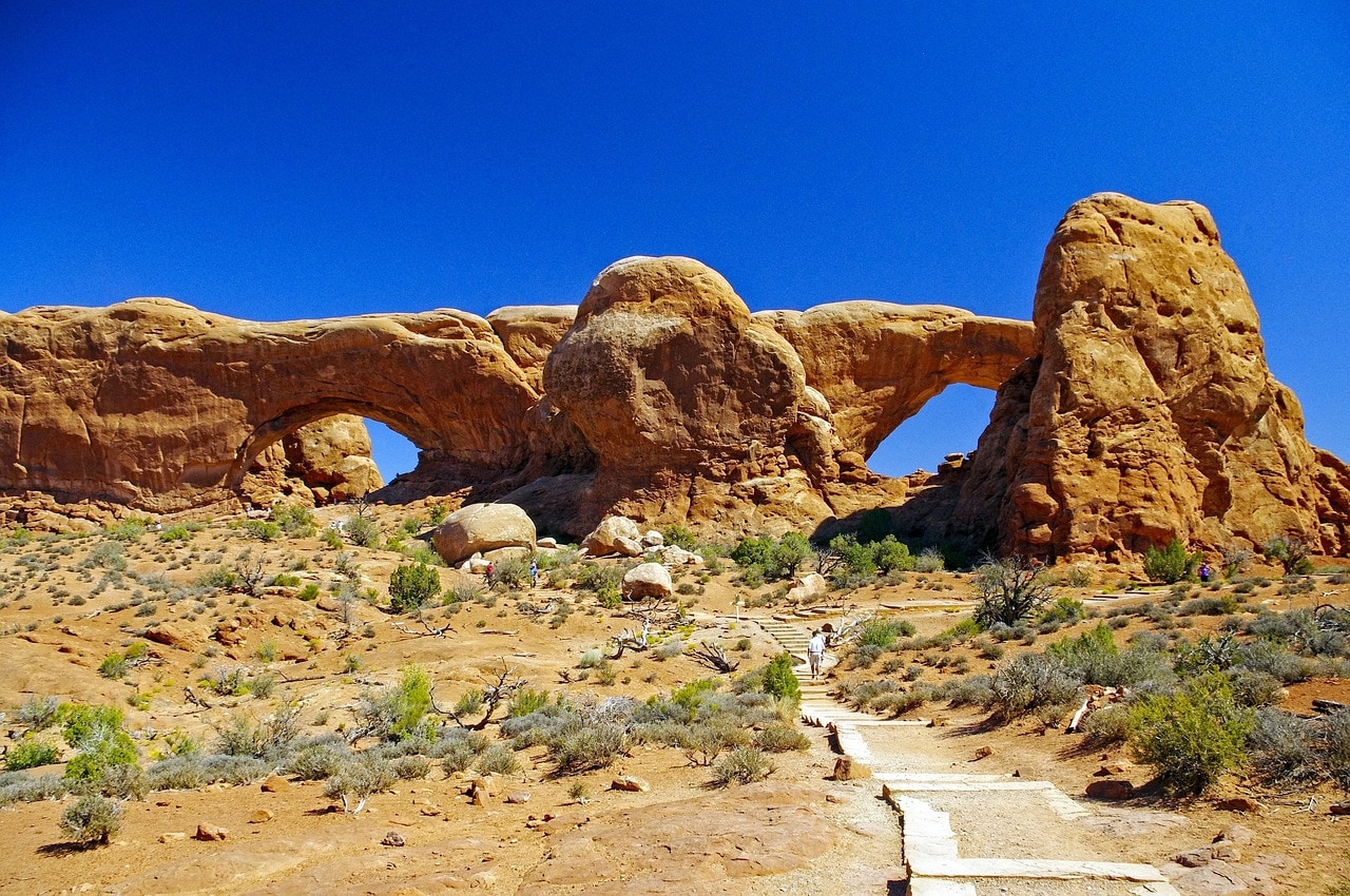
In the Windows Section, there's a series of trails, some short and easy, and others a bit longer, that lead back from the eastern side of the arches. The trail leads to the largest arches in the park – North Window Arch, South Window Arch, and Turret Arch.
To the north, the Double Arch Trail runs right through the arches and is considered one of the most beautiful trails in the park. The trail goes right beneath the double arches of the Double Arch and climbs to their feet. Among the arches, there's a stunning view of the entire park. At the top of the mesa, there's Elephant Butte, an impressive butte.
The Delicate Arch
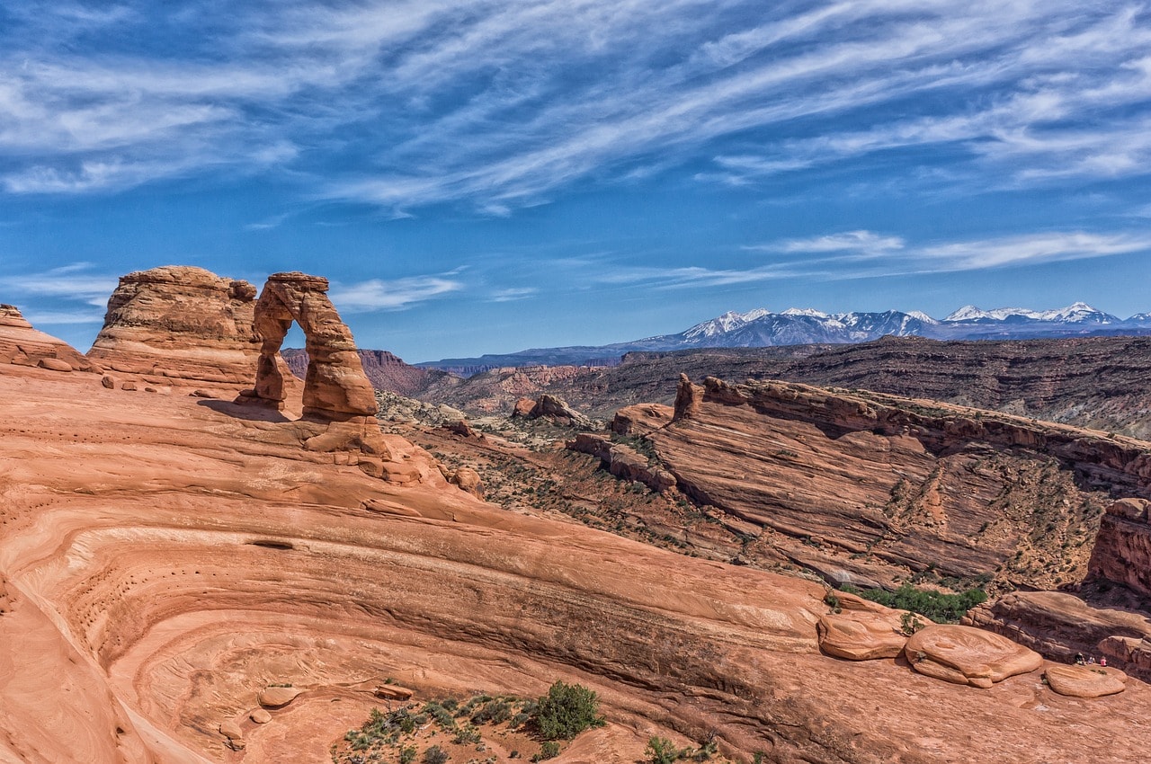
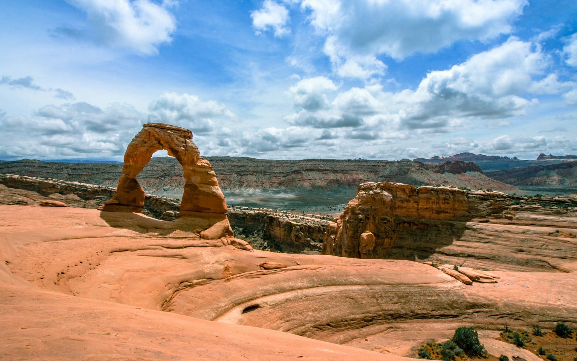
The Delicate Arch, without a doubt, is the star of Arches Park. The turnoff to the arch is about a five-minute drive north from the Balanced Rock. It's worth stopping along the way at Panorama Point, a designated lookout spot with a parking lot offering panoramic views of the entire park.
The Delicate Arch Trail is the most crowded and popular trail in the park, but it's a bit challenging and requires some climbing and fitness. The trail is about five kilometers round trip. The trailhead is near Wolfe Ranch, the family home of John Wesley Wolfe, built at the beginning of the 20th century. The trail leads to the stunningly beautiful arch, a very perfect and elegant arch at the top of the weathered hill. The arch is about 14 meters high and 10 meters wide. It is the most famous arch in the park and one of the most recognizable symbols of the state of Utah.
For those who don't want to take the climb to the arch, you can drive two minutes east from the trailhead to reach its Lower Delicate Arch Viewpoint. You can also climb about a hundred meters to the upper viewpoint (in both cases, it's a good idea to bring binoculars).
The Fiery Furnace
The Fiery Furnace is an eroded mesa with narrow passages between rocks. The Fiery Furnace Loop Trail is one of the most spectacular and unique hiking trails in Utah's parks and also one of the most challenging. It is a trail of narrow passages at the base of tall rock pillars, in a shaded, stifling area that feels like a real furnace at the height of summer.
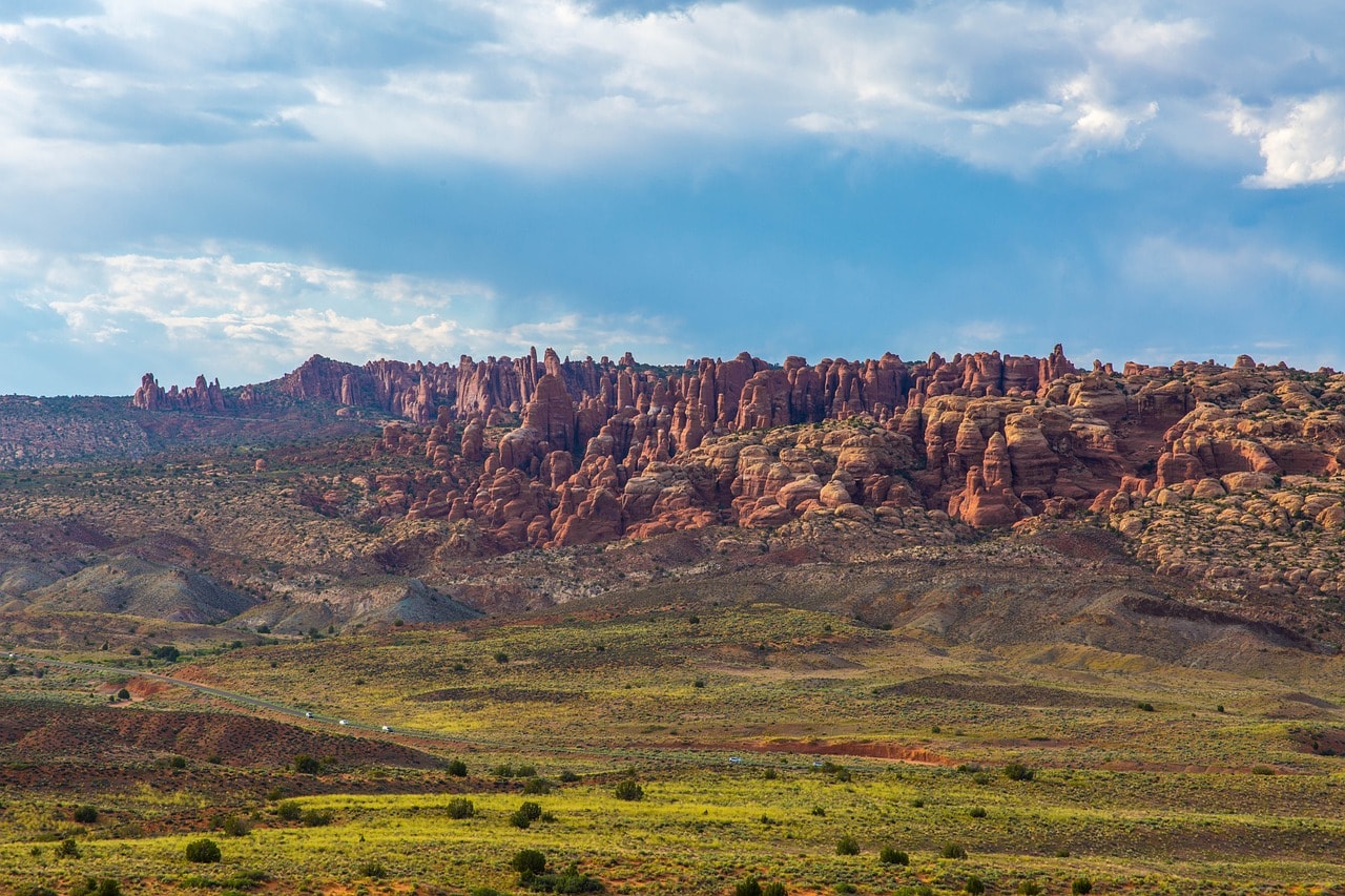
The trail is highly popular among professional hikers and it's important to be in good shape before starting. It includes rock climbing and requires physical exertion. You can hike the trail with a group accompanied by a ranger or under a special permit from the park allowing solo hiking. Just before entering the fiery furnace, there's a viewpoint over Salt Valley that spreads beneath the Mesa of the Fiery Furnace.
Sand Dune Arch
The path to Sand Dune Arch is one of the most impressive geological displays in Arches National Park. You can reach the arch via the Sand Dune Arch Trail, one of the park's short and beautiful hiking trails. The trail ascends a sandy channel between eroded rocks of mesa until it reaches the arch.
The trail is almost a kilometer round trip, mostly shaded, and a lot of fun. The arch itself is more of a cave than an arch, since its back is blocked. The arch isn't particularly impressive, but the path to it is quite beautiful, offering a light and pleasant version of the Fiery Furnace Trail, traveling through channels between the rocks. From the trailhead, there's also access to the Broken Arch via the Broken Arch Connector Trail, which is also accessible from Devils Garden.
Devils Garden
A short drive from the Sand Dune Trailhead is the Broken Arch Trail, accessible by a short hiking path. On the other side of the arch lies the unique expanse of Devils Garden, accessible by a circular road that bypasses the mesa and reaches the arch from the north. The heart of the area is the Devils Garden Campground, which features a large parking area, organized restrooms, and a vast camping space. The area is surrounded by massive rock columns, several buttes, and of course, arches. The site also hosts the park's amphitheater.
Just before the campground is the trailhead for Devil's Garden, from which extends the stunning Devil's Garden Trail, a breathtaking path with a round-trip length of three kilometers. The trail is very popular because it's easy, fairly shaded, and offers stunning views of arches and Button Mountains. Along the trail are stars like Tunnel Arch, Pine Tree Arch, and more.
For those seeking a more challenging trail, it connects with the popular Landscape Arch Trail and continues to the longer Primitive Loop Trail. The entire connection of trails is nearly ten kilometers of magnificent scenery that includes arches, pillars, and Button Mountains.
Broken Arch
The Broken Arch is one of the most impressive arches in Arches National Park. The arch is located at the heart of a completely eroded mesa section between the Devils Garden and the Sand Dune Arch. The Broken Arch Trail is a charming open area trail (wear a hat in summer) that is almost two kilometers round trip. You can extend the trail and return towards the Sand Dune Arch. The arch is not a complete formation but rather a meeting of two boulders leaning against each other and connected by sand drift, from which it got its name.
Landscape Arch
The Landscape Arch is a stunning geological display. It is the longest arch in the world, stretching 88 meters long and rising over 23 meters high. The arch is accessible from the Devils Garden Trail, which connects to the Landscape Arch Trail at a junction where the Primitive Loop Trail also branches out. The walk to the arch from Devils Garden takes almost an hour one way, but the trail is comfortable and easy.
Due to its status as a world record holder, the arch is very popular and crowded with visitors. Another trail that intersects with the paths is the Navajo Arch Trail, a stunningly beautiful trail that leads to the thick and low arch.
Corona Arch
If you're already in Moab and haven't gotten enough of the arches in Arches National Park, you can also visit Corona Arch located near Moab on the way to Canyonlands National Park. The Corona Arch Trail starts from a parking lot, just a twenty-minute drive from Moab on Route 279.
The trail climbs to the breathtaking arch that looks like a leg elegantly extending from the rock. The arch stands 32 meters tall and 43 meters wide, considered one of the most beautiful in the area, competing fiercely with the arches in Arches National Park.